NZ Tramping, Skiing & Mountaineering
I lived in New Zealand (Dunedin and Wellington) from 1973 to 1979 but was a student there so didn’t have the time or money to do as much in the outdoors than as I would have liked. I did some trips that are now “Great Walks” – the Routeburn and the Tongariro and Urewera circuits. From what I’ve seen of them in recent years, I’m really glad that I did them then as they are now just a pale imitation of what they once were.
Since retiring in 2010, I’ve been doing more trips in NZ and, since 2016, have been doing remote area trips either solo or with my friend Alan Davis of Adelaide. Alan has been heading into the most remote parts of NZ every year for more than 40 years.
What I’ve learnt from him, and from my own experience, is:
To know whether a route is feasible, it is worth looking for some reference to it in one of the few guidebooks that have been published by NZ trampers. The best are those published twenty years ago by Sven Brabyn but they are out of print and hard to find. Otherwise, the route will be “exploratory”;
Always be prepared to retreat if the going gets too difficult and be prepared to wait rather than cross a stream or river that is flowing too strongly. They will usually drop quick once the rain stops;
Unlike Australia, the best route into a valley will often be down a tributary stream rather than down a spur;
Even where “tracks” are shown on the map, these are often little more than routes and can be very hard to follow and very slow if they have not been cleared for some years;
Use equipment that will stand up to backcountry conditions. You need waterproofs and a pack that won’t get shredded by the scrub, boots that will protect your feet in rivers or scree and a tent that will stay intact and be comfortable if you are trapped in it a few days by really bad weather;
Time estimates on DOC signs vary wildly. When there is a formed track then you can often beat the DOC estimate but old chaps like us will rarely match the times shown on backcountry signs. They were often set by DOC staff many years ago when the route had just been cleared;
If possible, camp above 1000 meters altitude as the sand flies are terrible when camping in the valleys (particularly the further west you are);
Avoid “Great Walks” unless you want to experience the skills that Kiwis have developed over 200 years of herding sheep. These walks are in wonderful country but usually involve bookings, permits, heavy charges, uniformly 2 meter wide tracks and crowded huts. There are others walks (Rees & Dart, Wilkin & Young, St James Walkway, Greenstone & Caples) that are getting almost as busy but they they don’t (yet) have the same strict controls and high charges. Many backpackers use these huts as free accommodation so don’t count on their being clean or having a wood supply;
Avoid the “Te Araroa Trail” as the huts on the route are full of people whose main topic of conversation is how many kilometers they did today and how far they will get tomorrow. They are often inexperienced, ill-equipped and over confident and a significant drain on NZ rescue services when they get into trouble; and
Instead enjoy the rest of the NZ backcountry that has superb scenery, a network of almost 1,000 huts and almost no-one else there.

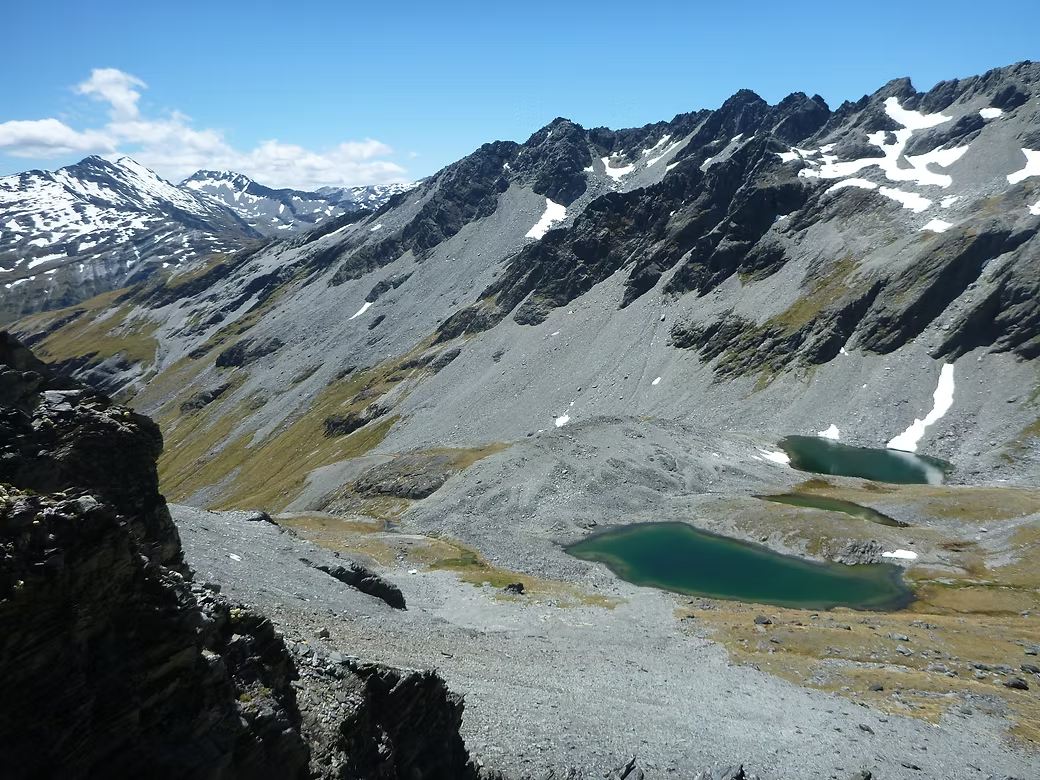
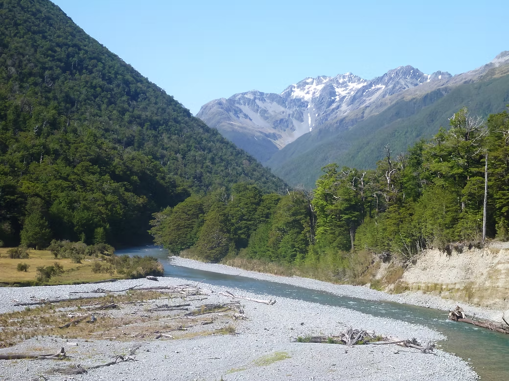
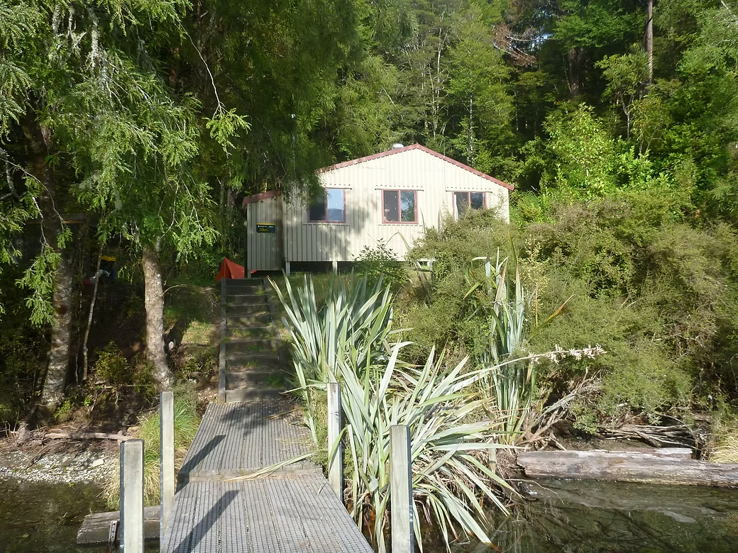
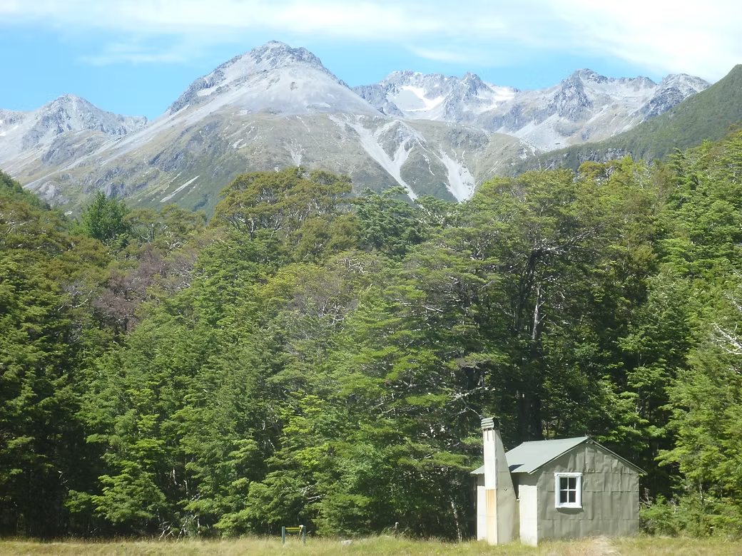


2020 Lewis Pass - 3 Tarns Pass - Matakitaki - David Saddle - d'Urville Valley - Lake Rotoroa
Alan Davis had recommended the Matakitaki Valley as a really beautiful part of the remote central South Island. It is difficult of access from any direction but there are still some excellent (and rarely visited) huts. Some Kiwis will have heard of the Matukituki Valley as it is the approach to Mt Aspiring (near Wanaka) but very few will know of the Matakitaki Valley.
I used the East-West Coaches service from Christchurch to get to Lewis Pass and then walked for two hours to Cannibal Creek Hut. The following morning I left the track at Ada Pass and started the slow climb to 3 Tarns Pass.
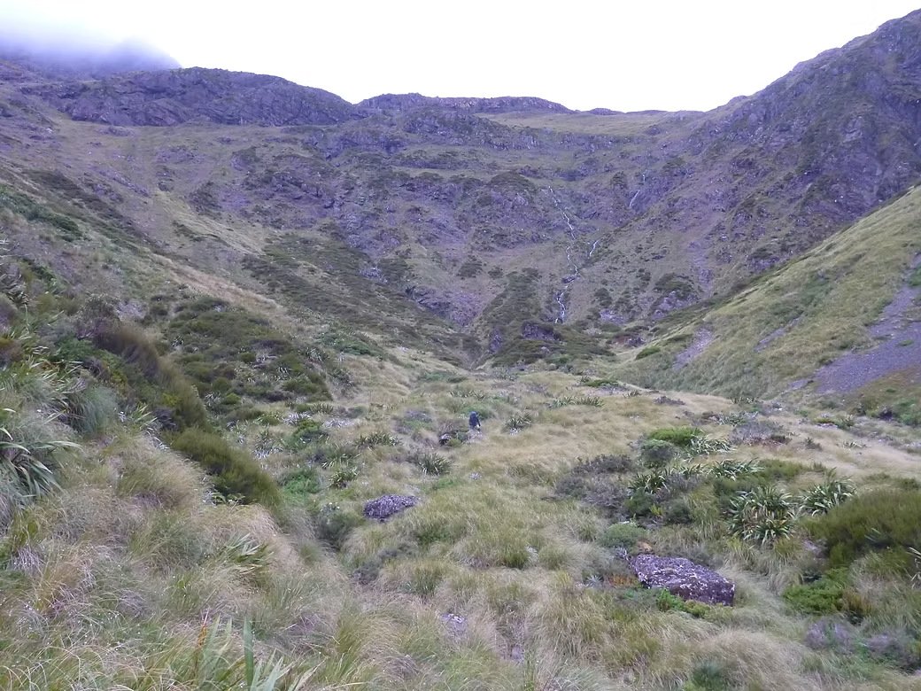
The descent to the East Matakitaki Valley was very slow as the terrain was rough and you have to pick the best route you can alternating between the creek gully and the tussock and sword grass. The track that is marked for the last section to Bob’s Hut was not where it was shown on the map. As it was after 6pm when I found the first marker, I camped there and continued the following morning. The track was in very poor condition with few markers and much tree fall so it was late morning by the time I reached Bob’s Hut. From there it was a pleasure to be on a well marked route for a few hours down to the junction of the East and West Matakitaki.
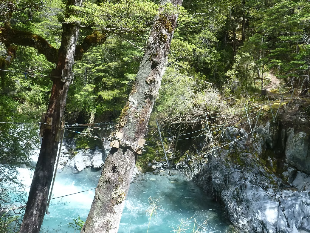
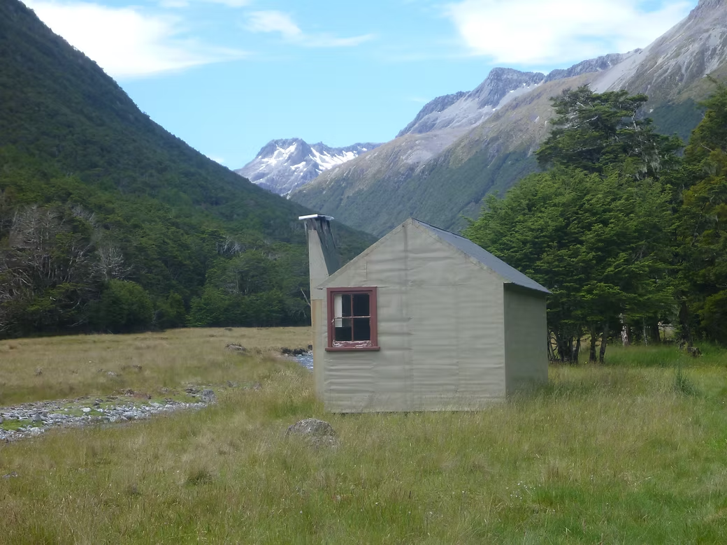
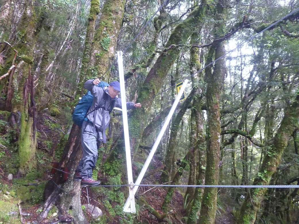
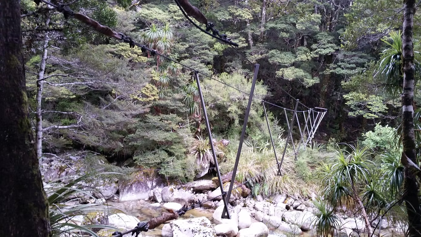
There is a walkwire to cross the Matakitaki River which is most welcome as the river runs in a steep gorge. Walkwires are fairly rare now and will be found only in remote areas. To use them you stand sideways on the lower strand and slide across using the upper two wires for balance. By mid afternoon, I reached East Matakitaki Hut which is a standard 8 bed hut in a superb setting on a riverbank. These simple huts have bunk beds with mattresses and usually a stove or fireplace.
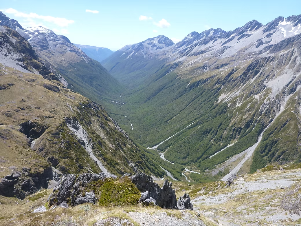
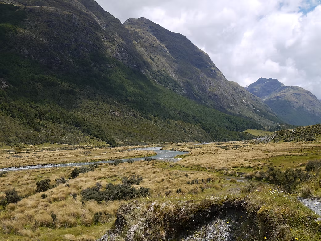
David Saddle is one of the passes through to the d’Urville Valley. There is no track above East Matakitaki Hut but it is reasonable going up to the point where you leave the valley to climb steeply to the Saddle. It is obvious from the map due to a distinctive gully to the NW where the main valley swings to the east and there is also a cairn marking where you climb away from the river. You climb first on the true right of the gully and then swap to the true left where the gully does a dogleg. Keep out of the gully and stay on the ridge as you get higher as the gully is very hard going when it has snow in it.
The descent into the d’Urville is very steep and hard going with thick scrub as you get lower down. You should aim for the obvious creek junction and the first track marker is a short way into the main d’Urville Valley. It is then just a short walk to the comfortable little 2 bed Upper d’Urville Hut.
Other than the start and finish, there was no-one else staying at any of these huts and there had not been anyone at the Matakitaki valley huts for the previous two weeks. From there, it is one or two days to descend the d’Urville Valley to Lake Rotoroa or you can go another day on to Lake Rotoiti. There is a radio in d’Urville Hut that I used to call the water taxi and get to Rotoroa. I thought that it would be easy to get from there to Nelson but, not so. I waited for a couple of hours to get a lift to the main road but there was little traffic. Eventually a local resident offered to drive me to Kawatiri Junction and I gratefully accepted.





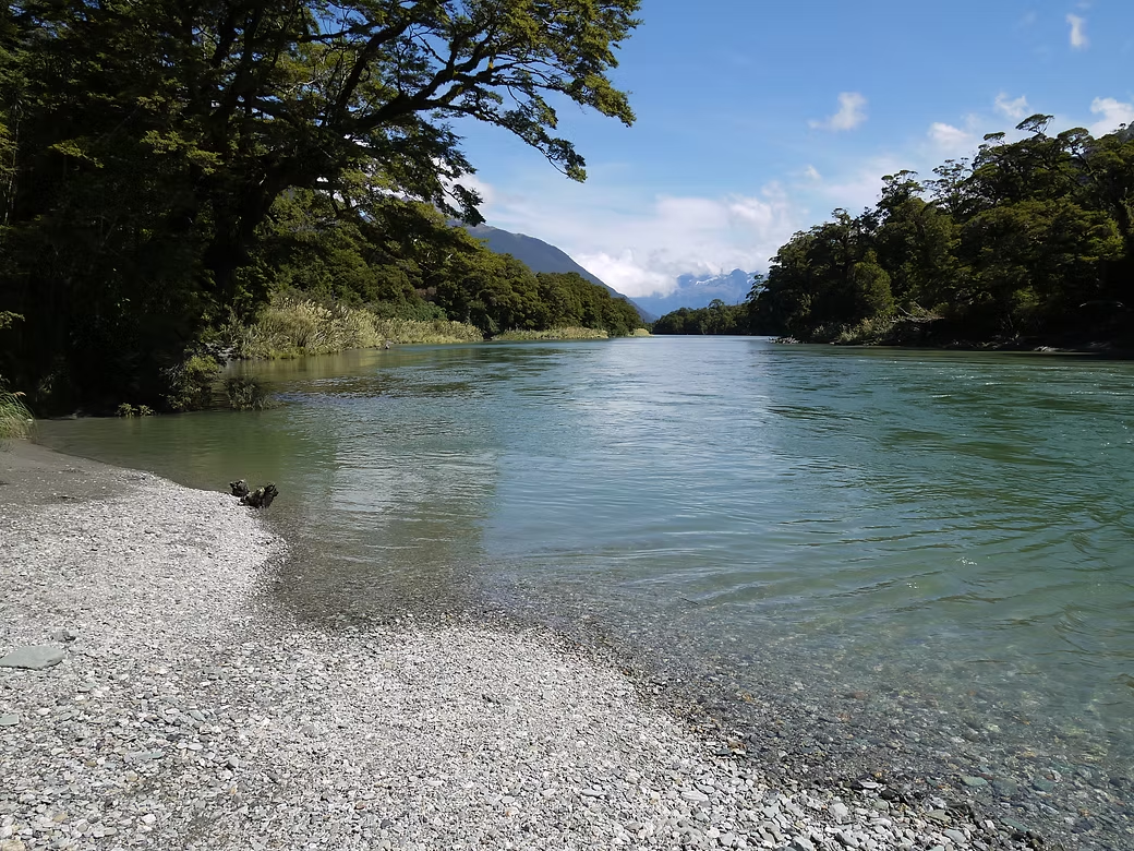

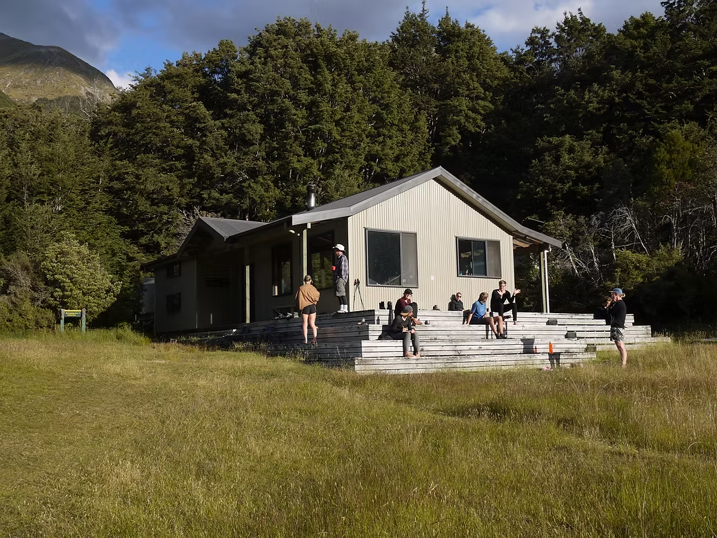
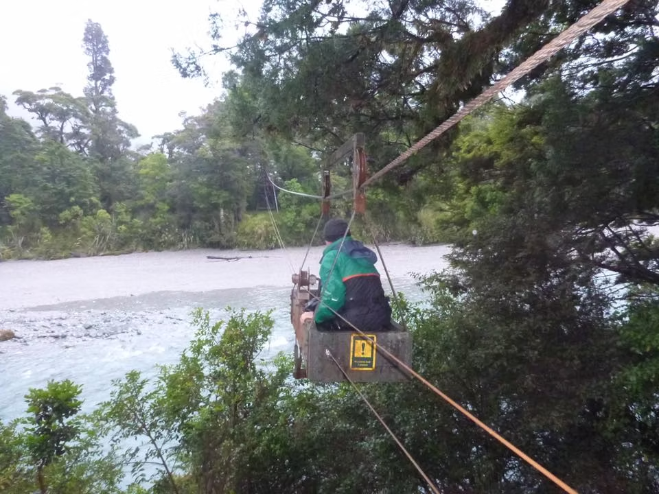

2019 Hollyford - Pyke - Lake Alabaster - Big Bay - Martins Bay 2019 Routeburn & Caples Tracks
This was the trip where quite a few things went wrong but Alan and I still made the best of it.
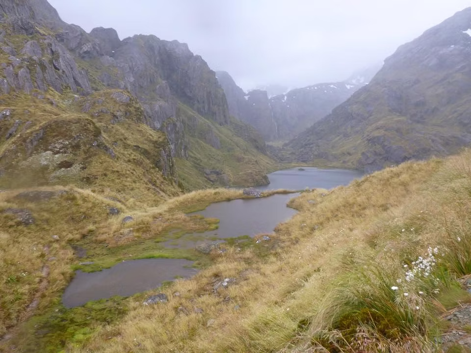
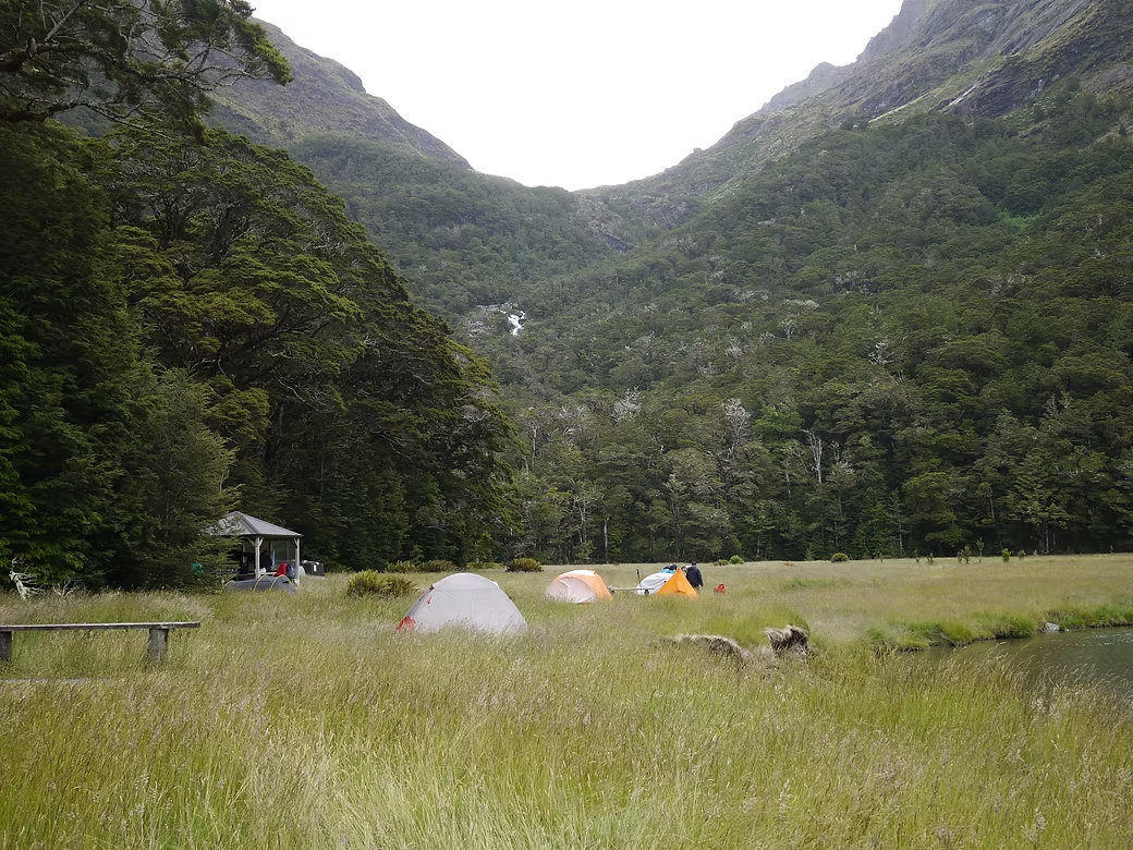
The plan was to walk into Olivine Hut via the Hollyford and Pyke valleys and then to access the Olivine Plateau via the Diorite Stream. That meant starting in Fiordland which as we knew meant rain … lots of rain. So we were not surprised when there was some precipitation on the walk into Olivine Hut and for most days thereafter. The access via the Hollyford valley is easy but things get a bit harder once you get into the Pyke Valley. The route around Lake Alabaster is pretty ugly. Although there is a marked route, much of the route is bog where you sink up to your knees in thick, sticky mud. After a day of that, one hopes for a nice dry hut to clean up and relax in comfort. But the fact that the Olivine Hut was packed with Tramping Club people meant that the tent was the only option.
The next morning we set off crossing the Olivine River on a cable where you winch yourself and your pack in a bucket suspended from a wire. Initially we made good progress up the true right bank of the Olivine River toward the climb. The climb looks very steep on the map but it is only about 800m vertical and we had seen notes where others had climbed this route by climbing diagonally up the slope into the Diorite. I suspect that those that had done it before were a bit younger and stronger than us. The slope was very steep and would sometimes lead to bluffs requiring us to back off and try a different way. Even when we could make progress, the slope was covered with thick vines that would catch on our packs, requiring that we take the pack off, push it ahead of us, and then drag ourselves up to it before repeating the process. By 1400, we had managed to climb only about 300 meters vertical and, if we kept going, we would end up having to sleep that night on a very steep slope. We agreed to return to Olivine Hut but made the mistake of taking a “short cut” and only arrived back in the late afternoon after fighting our way through some fairly horrible swamp.
After winching ourselves back across the river, we were relieved to find that the trampers had gone and we had the hut to ourselves. After heavy rain that night we decided to stay put as the rivers would have been too high to cross. That afternoon two families of “pack rafters” arrived including so two young children so the hut was again full.
The following day we continued up the Pyke Valley but the rain had raised the level of Lake Wilmot so we had to frequently climb up the steep slopes to make any progress. On one such excursion, I stepped on what I thought was solid ground but it was the top of a tree fern. I fell a couple of meters and landed hard on my right shoulder. I knew that I’d done serious damage but I found I could still carry the pack so was able to continue. The Upper Pyke is swampy with high reeds growing so it becomes very hard to keep to the marked route. After some deep river crossings, in one case up to the upper chest, we arrived at the start of the route to Big Bay and decided to camp.
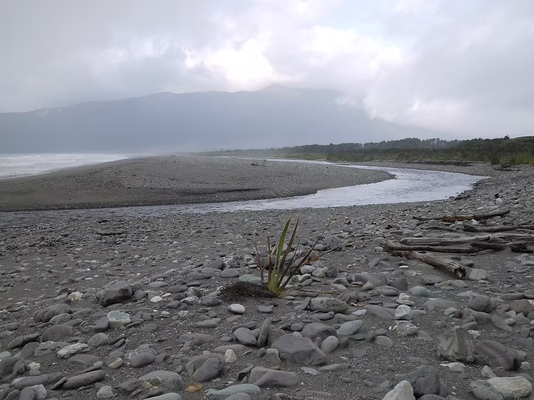
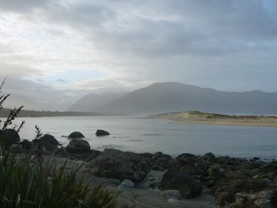
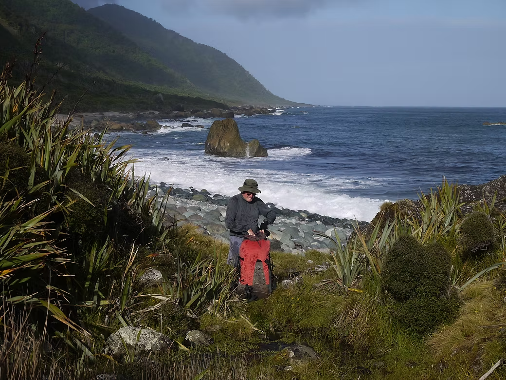
After a couple of hours along a track we reached the small settlement at Big Bay and continued on and did the tidal crossing at the southern end. As it was late afternoon and an apparently lovely spot, we decided to camp on the beach. After about 5 minutes, the first sandflies arrived, followed by a few million more in the next half hour. I spent the first half hour in the tent killing the few hundred that had come in with me and we decided there was no option but to stay put and eat in the tent.
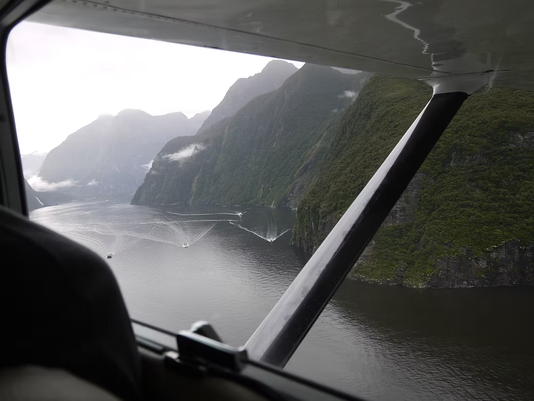
The delay in the Pyke had put us behind schedule and, unless we made up time, we would not get back to Paradise (at the west end of Lake Wakatipu) in time for the motel bookings that we had. So, when we arrived at Martins Bay late morning the following day, it seemed a good idea to take advantage of the fact that an aircraft was about to leave for Milford Sound and to pay to have him fly us there. The “logic” was that we would then get a bus to the start of the Routeburn Track and arrive at the appointed time in Paradise. It was a spectacular flight but we, all of a sudden, were now in “tourism central” and there was no such bus. After managing to hitch our way to the start of the track, we then set off for Lake MacKenzie.
We’d recognised that we had no bookings for what heavily booked walk but believed that the rangers would be OK once we explained. Not so. After a bit of a dressing down, we were finally permitted to pitch our two tents on a single site and were then charged double rates as a penalty. With crowds of people about, neither of us were much inclined to do anything than to get the Routeburn over as quickly as possible so we just walked through and camped at Routeburn Flats before getting the bus to Paradise. Given the huge demand for these “Great Walks” it is understandable that DOC manage them this way. They are always under pressure to be self-finding and these walks finance the work that DOC undertake in remote parts of the country.
We’d originally intended to walk through the Serpentine Range, but we would have had to return to the Routeburn to do that and neither of us were so inclined. We were now “filling in time” and decided to do the Greenstone and Caples Tracks. Ordinarily these would be nice walks but, with many others doing them as well, they were a disappointment compared with the things we had originally planned to do. To cap it off, I accidentally deleted most of my photos from the trip so many of those here are Alan’s.


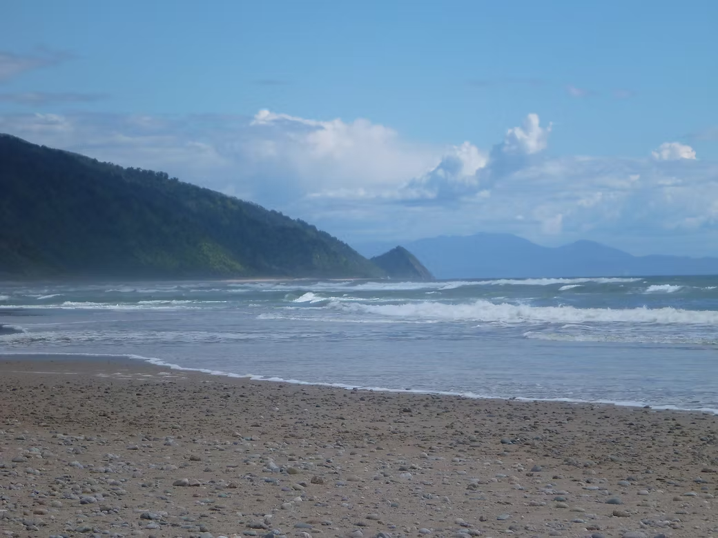


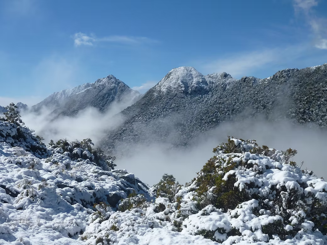

2019 Wangapeka, Heaphy and Leslie/Karamea Tracks
The Leslie/Karamea, the Heaphy and the Wangapeka were the original routes from the north coast of the South Island to the Karamea area of the West Coast. They was established by the early settlers and miners and the Heaphy Track has been developed as a “Great Walk” so it gets thousands of visitors every year. The Wangapeka and the Leslie/Karamea were also important routes and were popular tramping route some decades ago. But they are infrequently used now and the condition of the tracks is pretty variable with some areas badly damaged by a major storm that hit the West Coast in 2014. All three routes are within the Kahurangi National Park.
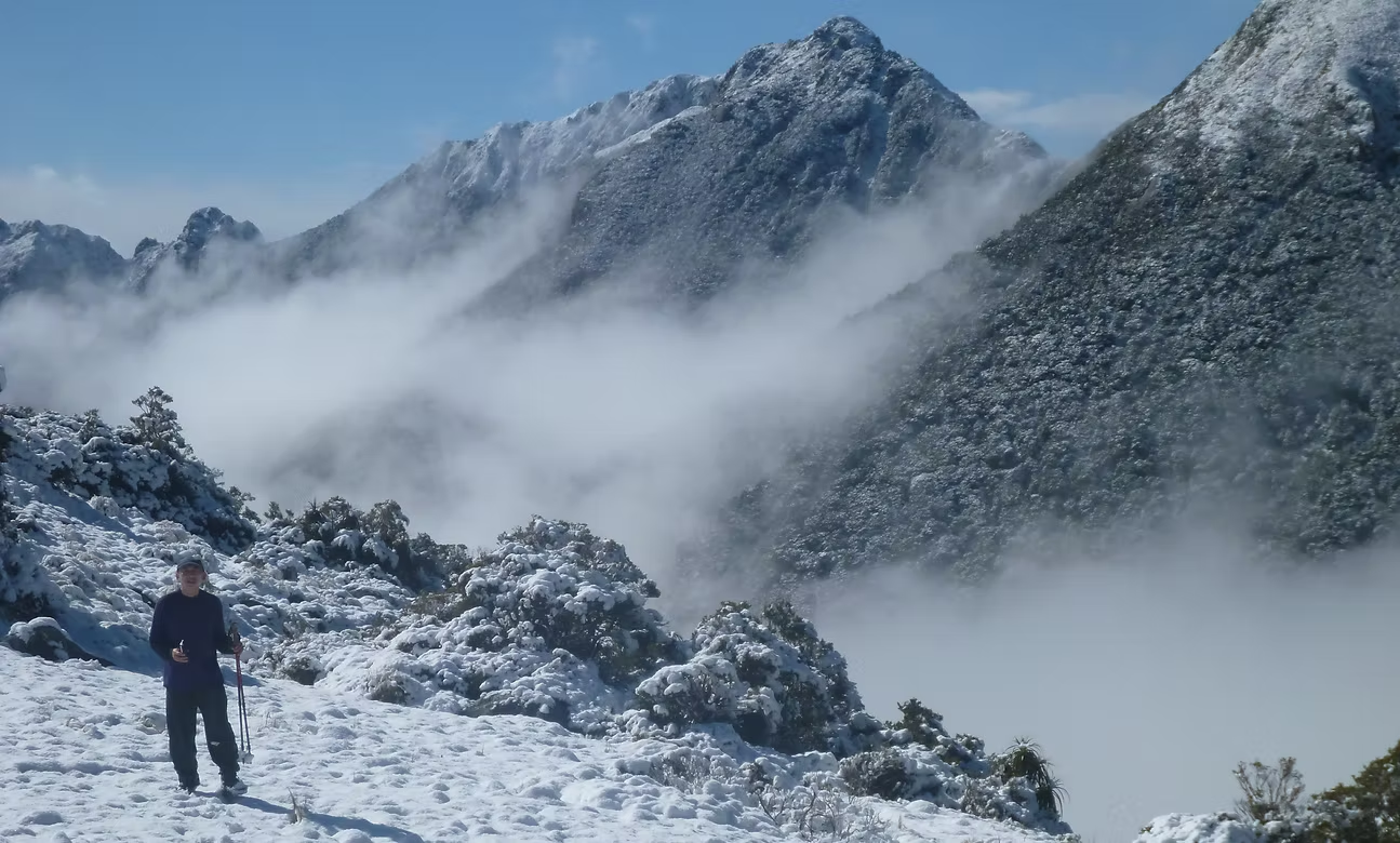
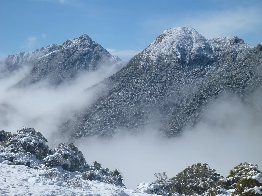
I did two trips to the area, one in 2018 with my San Francisco friend Po Chiu and the second in 2019 alone. The trip with Po was the full length of the Wangapeka Track from Rolling River car park and returning via the Heaphy Track. We added a diversion to Kiwi Saddle and along the Biggs Tops to Mt Luna, rejoining the Wangapeka at Stone Hut. The weather on the day we crossed the Luna Tops was cloudy but it is a lovely route and well worth the effort.
Po was gobsmacked when we encountered a walkwire – a way of crossing a stream on three wires suspended across it. You stand sideways on the lower wire and slide your boots across using the upper cables to balance. It is not as hard as it sounds and, while we did not need to use it, Po got up to give it a try. He said that you’d never be able to use such a thing in the USA as the litigation would bankrupt the National Park Service when people sued after they’d fallen off!
The weather was wet and very cold by the time we reached Taipo Hut. There was snow around the hut when we started the climb to Little Wanganui Saddle the following day and there was about a foot of snow on the pass.
I had organised with the Little Wanganui Hotel to collect us at the end of the road. Although we arrived an hour early and waited a further two hours they did not appear so we started the 15km walk. After about 10km, I got a signal on my phone and they finally appeared to meet us.
A wealthy local businessman bought the pub a few years back and has spent a lot of money upgrading it so it has very comfortable cabins. We overnighted there and, the following morning, they drove us the 60km to the start of the Heaphy Track.
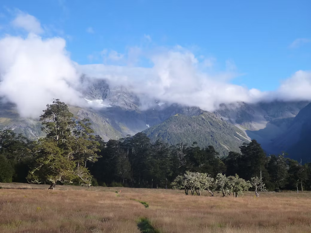
The contrast between the Wangapeka and the Heaphy could not have been more extreme. We met no-one in 5 days on the Wangapeka and had the small huts to ourselves. The route was difficult to follow in places and there were numerous diversions around areas of tree fall and other storm damage. But the views from the passes and the wild beauty of the valleys was superb.
The Heaphy was made a “Great Walk” for a good reason – i.e. it is spectacularly beautiful particularly in the coastal parts on the western side. But we needed a permit to walk it and the track was a two meter wide highway from end to end. The huts were massive and full to capacity of walkers and mountain bike riders. Many of the walkers were inexperienced and poorly equipped and some were struggling with blisters and general lack of fitness.
This was the first year that DOC had declared the Heaphy to be open (other than high season) to mountain bikes. In theory the bike riders were supposed to come to a full stop when they encountered walkers but this never happened and, instead, you had to jump clear when bikes came around corners at high speed. I think that you are getting the drift that the Heaphy was really a disappointment compared with the Wangapeka.
In 2019, I decided to walk the Leslie and Karamea valleys and then join the Wangapeka Track for the last section across Little Wanganui Saddle. On this second trip, I met only three other people in eight days and had most of the huts to myself.
Transport is not easy to organise but I used a Hillbilly’s Transport from Nelson and they drove me to the Flora Carpark on the Tablelands at a reasonable cost. The last bit of the road is very steep and I wondered whether I’d end up walking in as the lady’s car struggled with the gradient but finally made it.
From the Tableland the track drops steeply down the Leslie valley to Karamea Bend and then crosses on a footbridge to the true left bank. If there has been heavy rain (which happens frequently!) then getting beyond Thor Hut can be problematic as Kendall Creek has to be crossed and it can be dangerous.
I’d spoken to DOC in Nelson and they said that the alternative was to ford the Karamea itself just before Kendall Creek and this is what I did. It was waist deep and flowing strongly but it is an excellent place to cross being wide with firm shale underfoot and with fairly even depth. Even so, it was about the limit of what I’d be comfortable with.
At Trevor Carter Hut the Leslie-Karamea route joins the Wangapeka Track. There was no wood in the shed so this otherwise very comfortable hut was pretty cold that night. The following day I climbed most of the way toward Little Wanganui Saddle and stayed at the Stag Flat Shelter which is just below the Pass. The next day was a short climb over the pass and then a long descent down the Little Wanganui River to Belltown Manunui Hut.
Based on previous experience, I did not bother trying to get the people from the Little Wanganui Hotel to pick me up at the end of the road but walked the extra 15km into this small town of about 200 people. The manager kindly organised a lift to Westport for me (with members of his family who were visiting) so that I could catch the Intercity bus to Nelson.


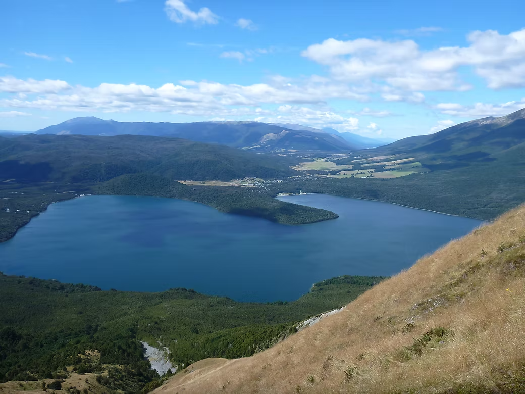

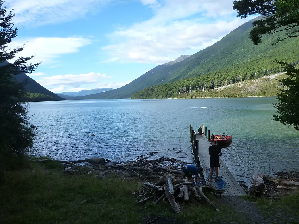

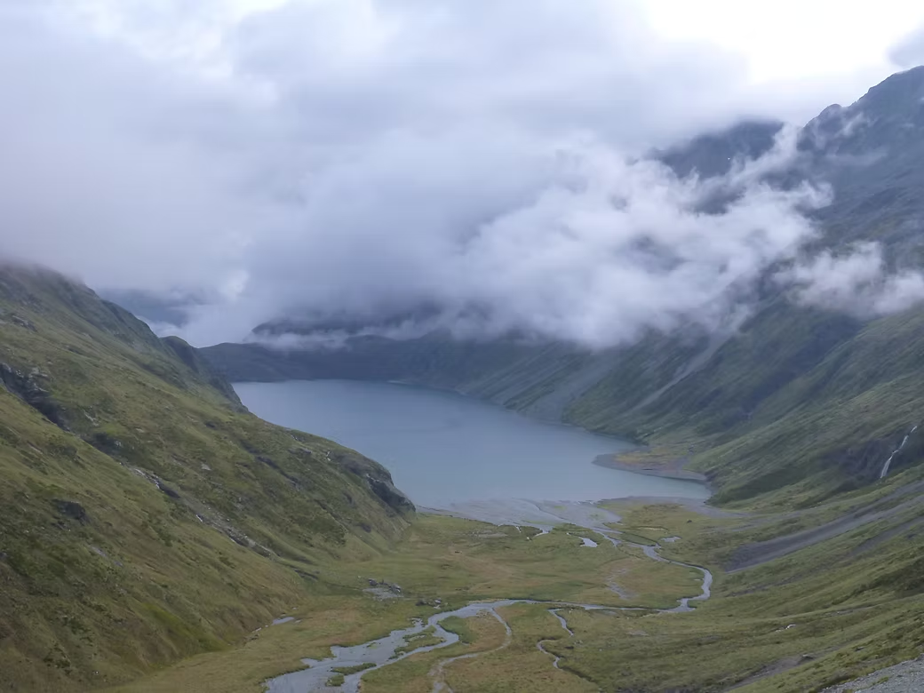



2018 Robert Ridge - Travers Saddle - Waiau Pass - Ada Pass - Lewis Pass
This trip includes parts of some well known walks in the Nelson Lakes and North Canterbury : the Robert Ridge, the Travers Saddle, the Waiau Pass and the St James walkway.
It is a spectacular walk but it’s attractiveness has been downgraded by its inclusion as part of the Te Araroa Trail. The increasing number of walkers means that it is now heavily signed and there is a beaten path across what was once just a route.
I used Nelson Lakes Transport to get to St Arnaud from Nelson and from there to the carpark at Mt Robert before climbing to camp near Relax Shelter. To reduce the amount of food I was carrying, I had arranged for the water taxi to drop a week of food at Coldwater Hut at the southern end of Lake Rotoiti. The views from the Robert Ridge were spectacular on what was a beautifully fine day. Half way along I was amazed to run into Marie Maguire of Border BWC who was heading the other way with a group.
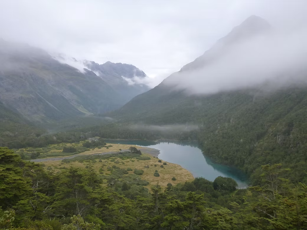
I’d intended to camp at Lake Angelus but the hut and the campsite were full. So I dropped to the Travers River via the Cascade Track and walked back to Coldwater Hut to collect my food drop. The next day is a steady climb up the Travers Valley toward the saddle. The weather clagged in on the day that I crossed the Saddle and rain made the steep descent into the Sabine Valley very slippery. It rained steadily all the way up the Sabine Valley to the large and comfortable Blue Lake Hut. Blue Lake is spring fed and very cold and is notable for having the clearest known fresh water in the world.
What used to a route up past Lake Constance is now a beaten path due to the number of people that head to the Waiau pass. The top of the pass itself is now heavily signed to avoid people getting lost when it is in cloud (as it was that day).
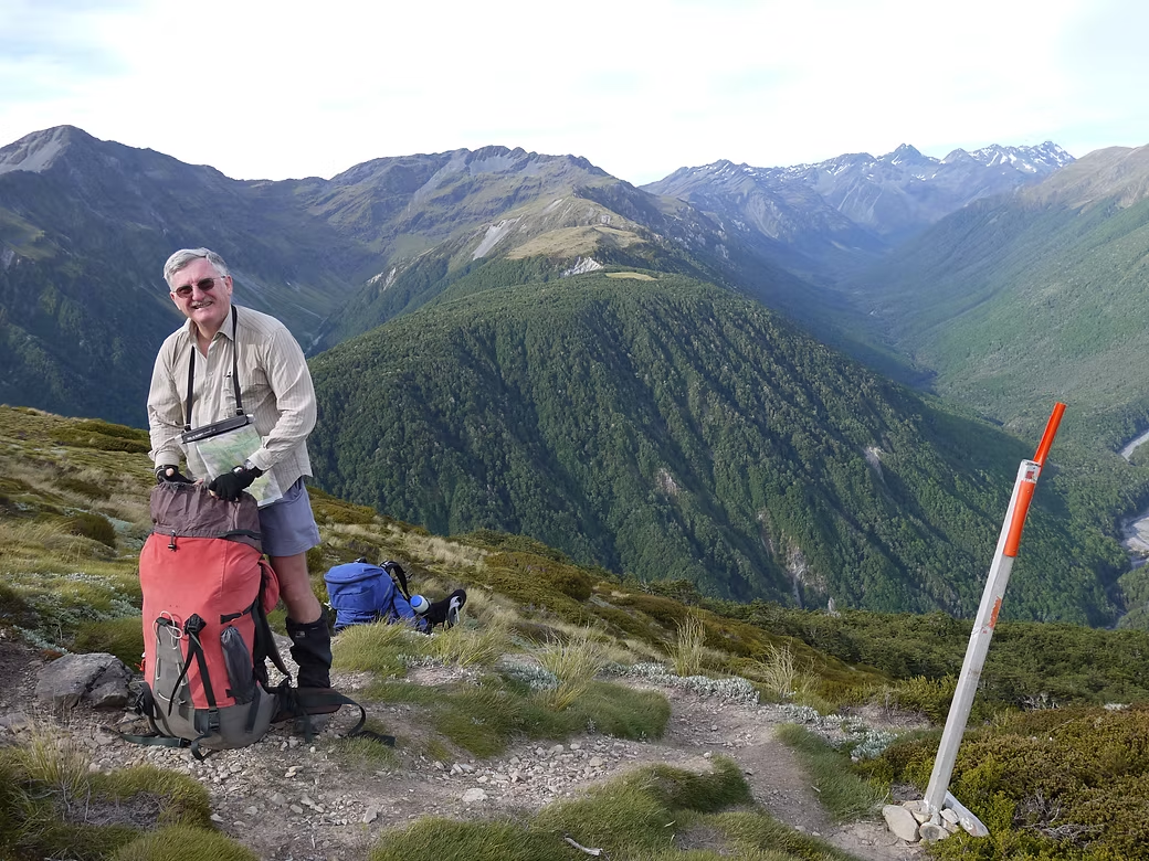
While the descent into the Waiau River is fairly rugged due to some recent landslips, the going gets easier as you get further into the main valley. Rather then continue all the way down the valley to Boyle Village, I turned off along the St James Walkway through Ada Pass to the Lewis Pass. I then caught the regular minibus to Christchurch that crosses Lewis Pass most days from Greymouth.



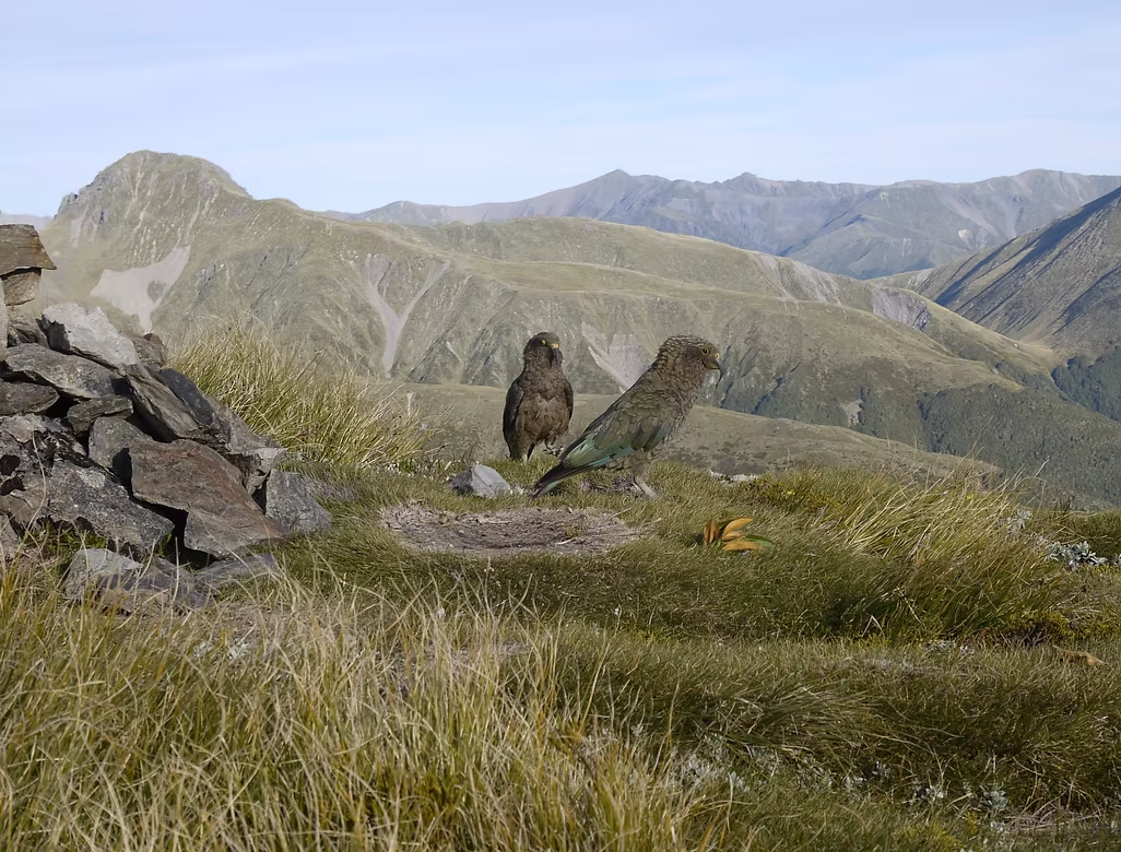

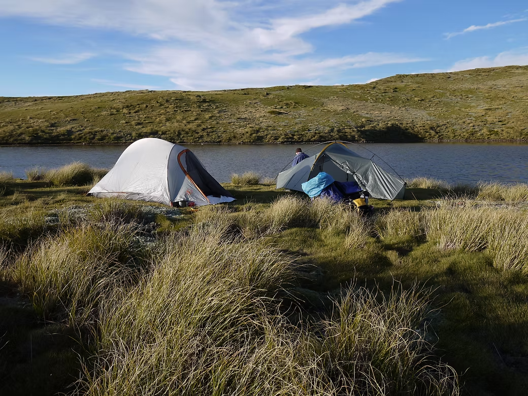
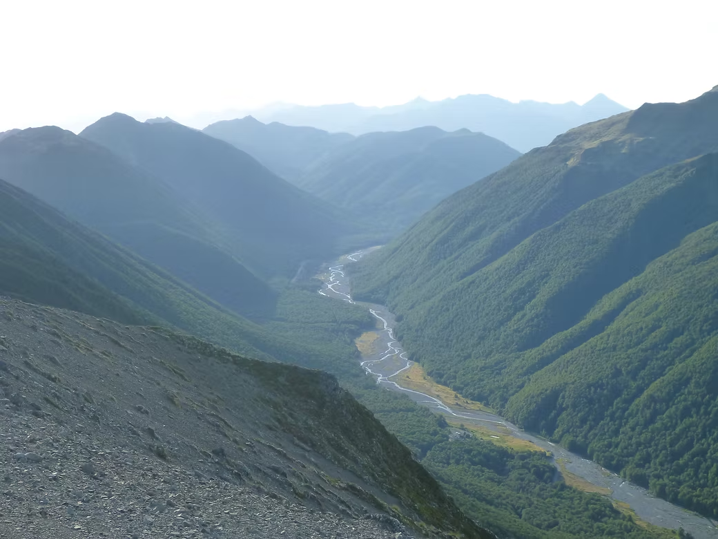

2017 Lewis Tops and Nina, Doubtful & Hope Valleys
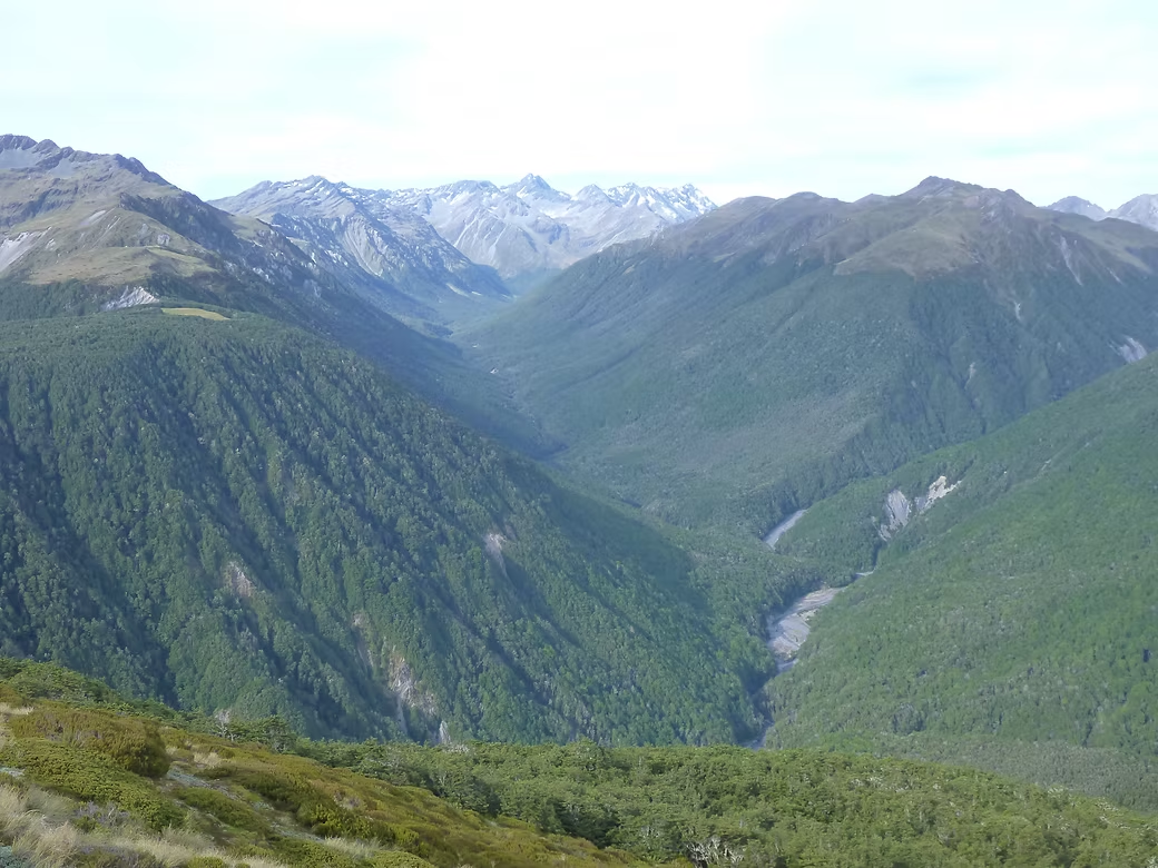
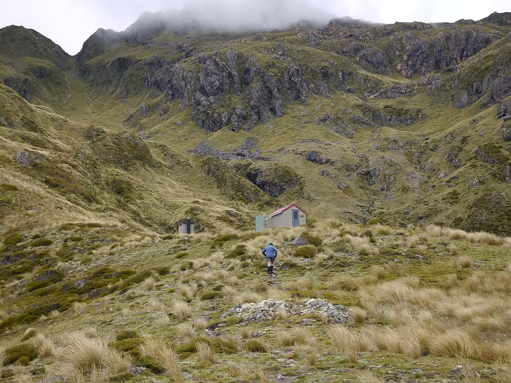
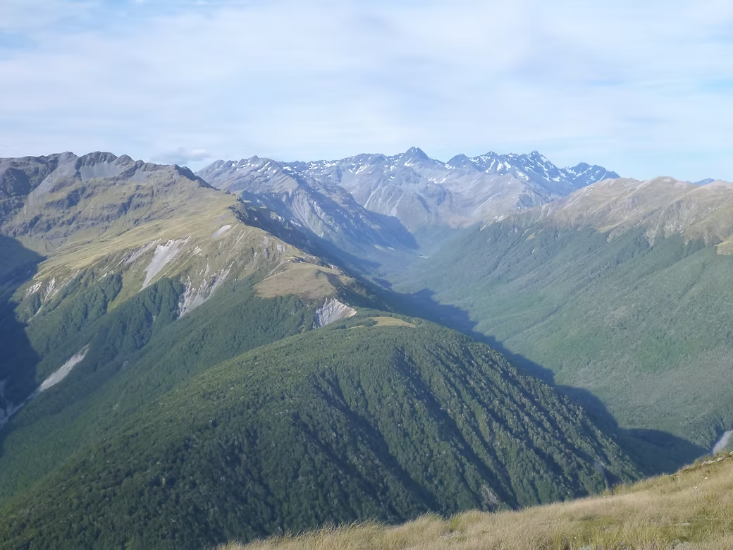
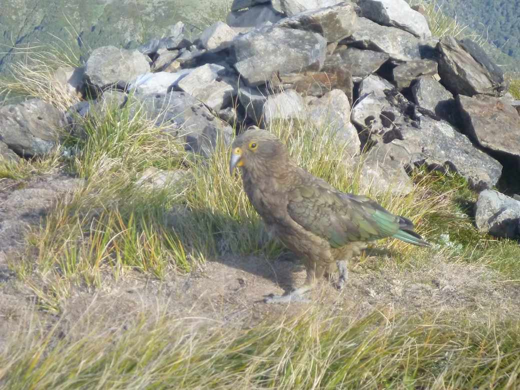
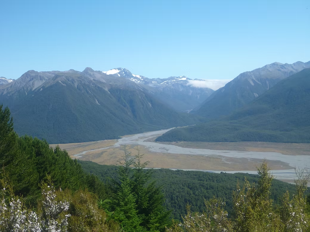
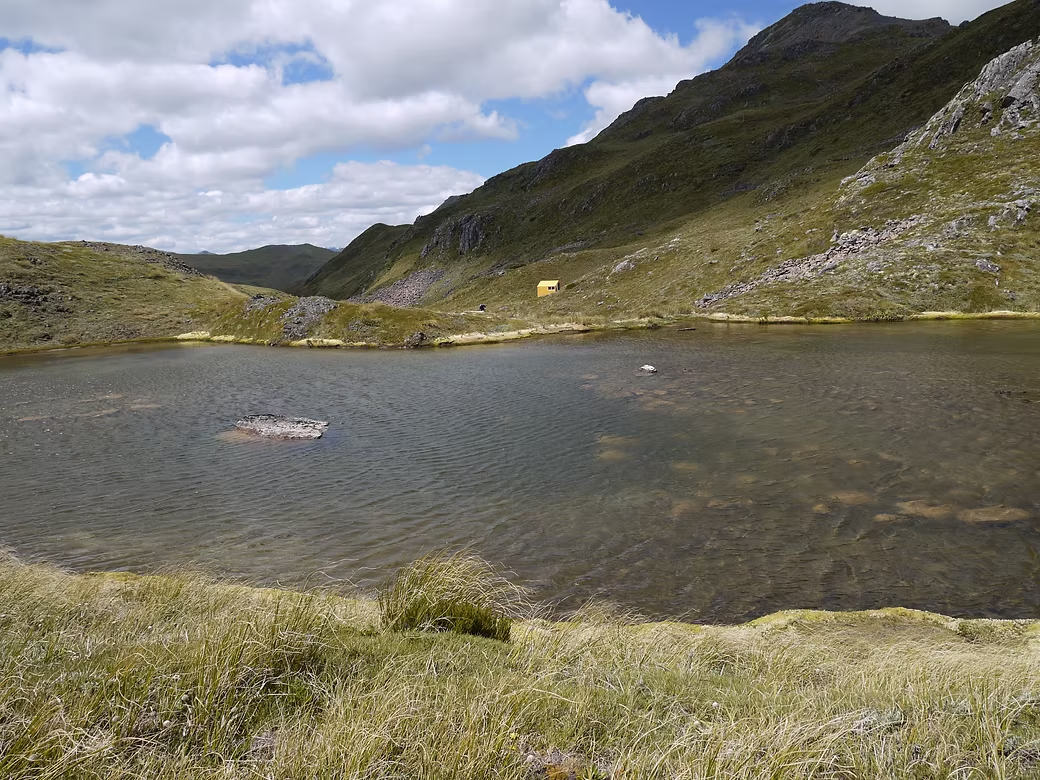
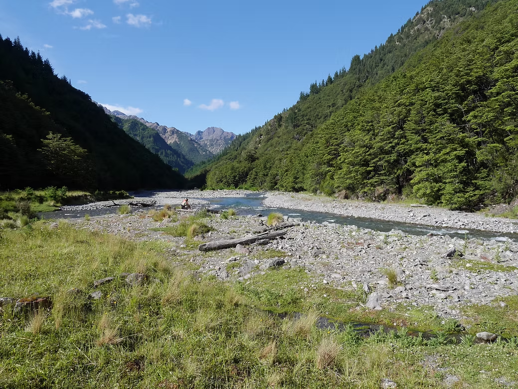
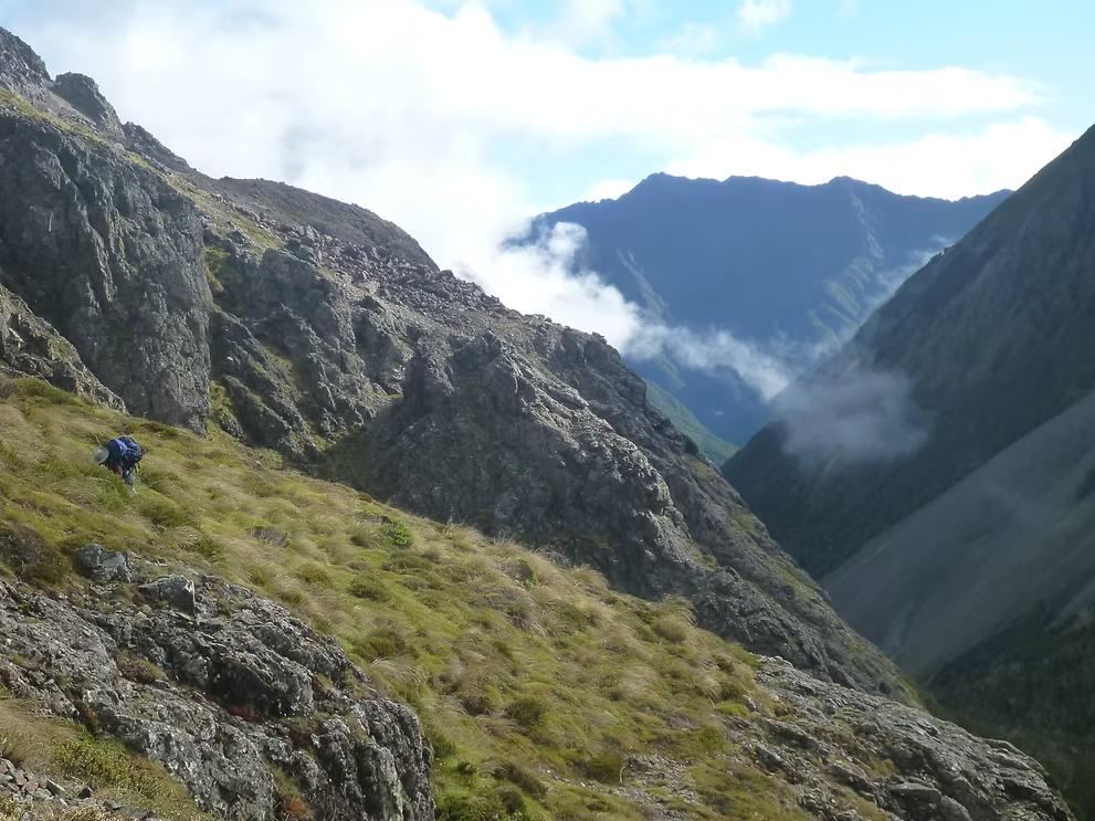
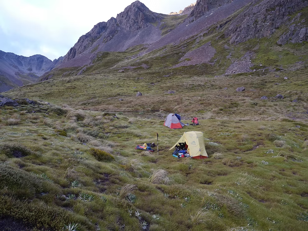
There are a series of valleys (the Deer, Nina, the Doubtful and the Hope) that radiate out to the west from the approaches to Lewis Pass. Alan Davis and I started from Lewis Pass and climbed steeply up to the Lewis Tops before camping by the tarns just below the ridge. The following day was hard work on sharp ridges and in sometimes thick scrub when forced off the ridge by bluffs. We gradually made it past The Apprentice and Lucretia before reaching Brass Monkey Bivvy which is an old two bed hut that sits in an idyllic spot beside a tarn.
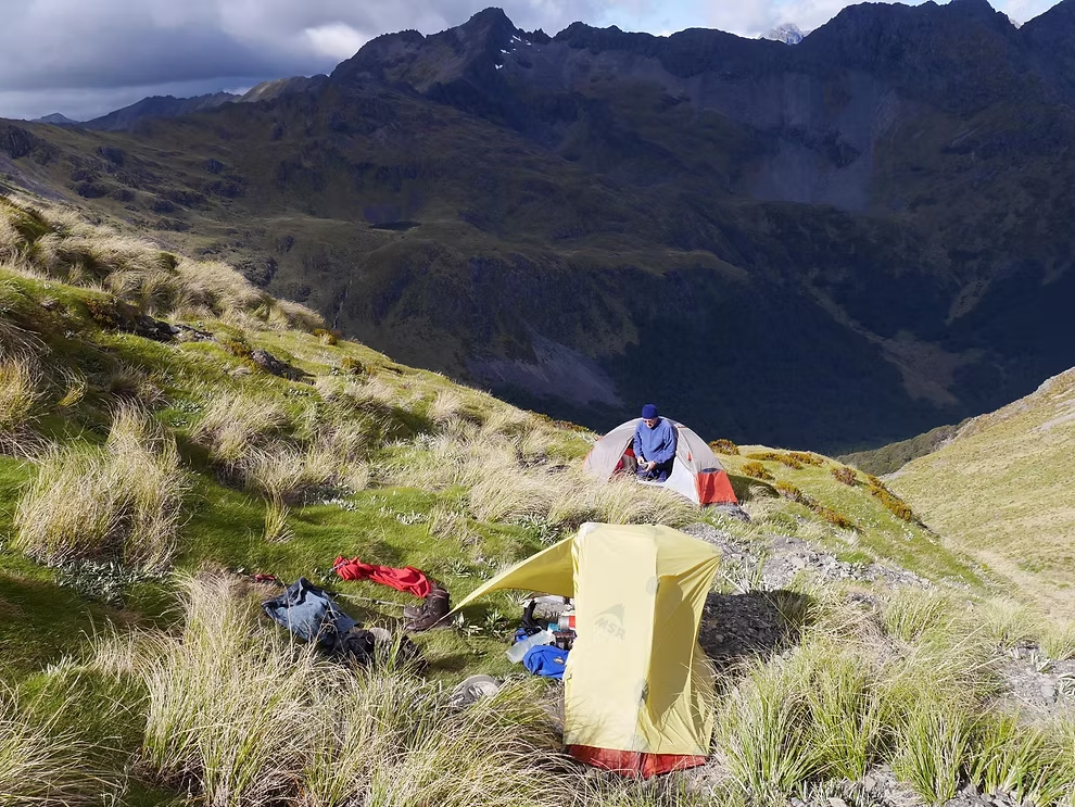
There were two options (either via the Lucretia or the Duchess Valleys) to reach the Nina Valley and we took the latter. Nina Hut is modern and the valley is popular so there were a few people staying. The following day we crossed Devilskin Saddle where there is a new 2 bed bivvy with a great view. There was a hunter staying in the old and fairly decrepit Doubtful Hut so we elected to use the tents. There were clouds of sand flies so there is little incentive to spend much time out of the tent.
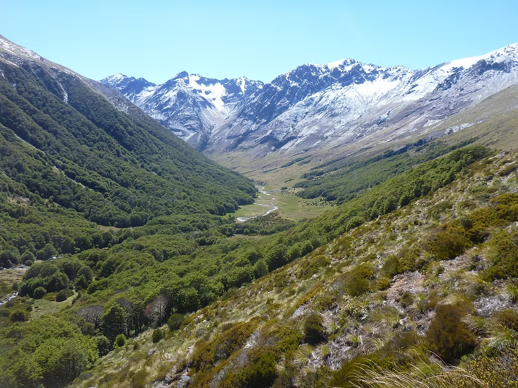
The next day was a slippery ascent to Lake Man Bivvy where we elected to stay the night and rest before the tricky descent the following day to the Hope Valley. The initial descent is quite pleasant with a gradual descent on a snow grass ridge. But at the end of that ridge there is a sign that points down and the rest of the descent into Pussy Stream is very steep and involves hanging off the tree roots in many places. From Pussy Stream we entered the expanse of the Hope Valley, crossed the river and followed the path up to Top Hope Hut.
The first priority was to locate the food drop that we’d carried in there over two days the previous week. It was packed in plastic crates and we found it easily under the matagouri bush where we’d left it.
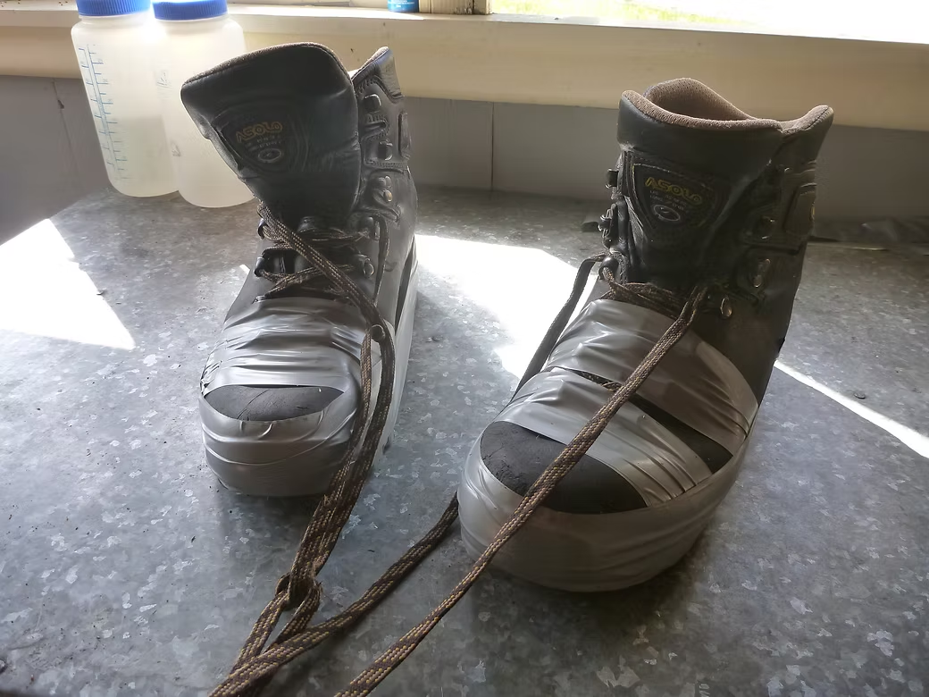
A group of hunters had flown out the day before and left a lot of spare food in the hut. The sun was shining so we were relaxing and drying our wet gear from the previous couple of days. When I went to turn over my boots that were drying in the sun, I noticed that the sole was peeling off both of them. Since these were Asolo boots leather books that had only had a couple of weeks use this was not only a shock but also real issue for what I’d do from here on.
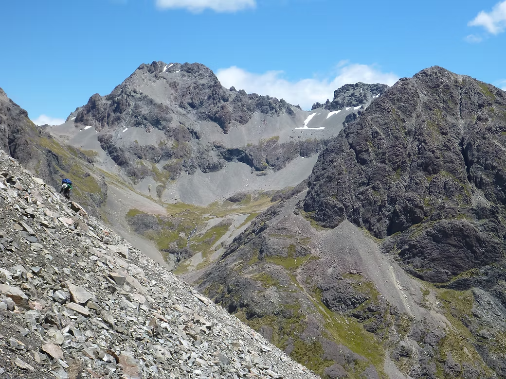
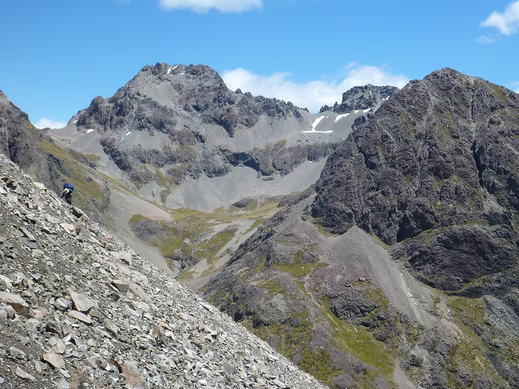
We second week was going to be harder than the first and we were planning to head up Hope Pass and then onto the Nelson Tops. The aim was then to work our way around the high ridges to Mt Stapp and then eventually to Harpers Pass before then following the track to Arthurs Pass. We’d not been able to find any references to anyone having done this before so it was exploratory with the “Plan B” that we’d exit via the MacKenzie Stream if it was too difficult.
From the state of my boots, it was clear that I could not go on so I elected to walk out to Windy Corner and get a lift to Christchurch to buy a replacement pair of boots. I had a tube of boot glue in my pack and the hunters had left a roll of duct tape so I used the two to try to hold my boots together for the 25km walk out. Of the two, the glue worked best as the tape was shredded after the first five kms. What added insult to injury was that I was carrying a heavy pack loaded with the week’s food that I’d carried in the previous week. From Windy Corner, I got a lift with a nice Kiwi girl who dropped me right to my motel in Christchurch.
Alan and I had agreed that he should go on alone and that, after buying new boots, I’d take a bus to Arthurs Pass and do some walking there before meeting up there at the end of the week. So, I spent four days walking up the Mingha Valley, over Goat Pass and down the Deception River to the footbridge across the Otira River. I then went south of Arthurs Pass and crossed Lagoon Saddle into the Harper Valley and then back up Hamilton Creek and over Cass Saddle.
Alan was not in Arthurs Pass on my return and “Plan B” was that we would meet in Christchurch. So I caught the bus to Chistchurch the next day and was a bit relieved to find him already in residence at the motel where we’d agreed to meet. He’d had a very hard day fighting his way up to Hope Pass and eventually made it onto the Nelson Tops where he camped by a tarn. The weather then turned bad so that he spent the next two days in the tent before being able to descend to the Hurunui River and exit to Windy Corner via Lake Sumner and Kiwi Saddle.
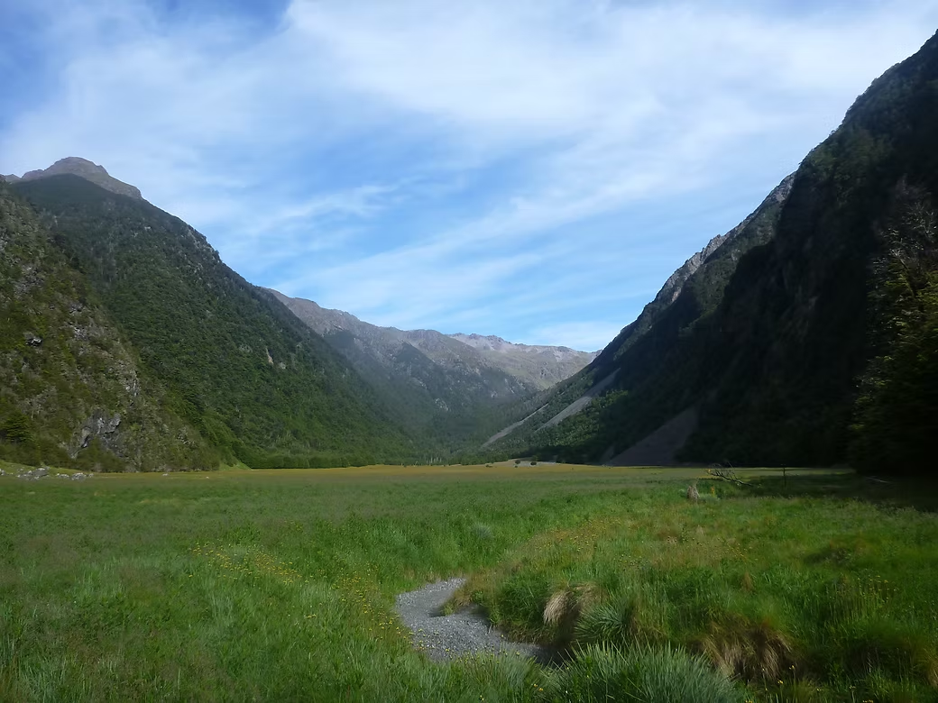



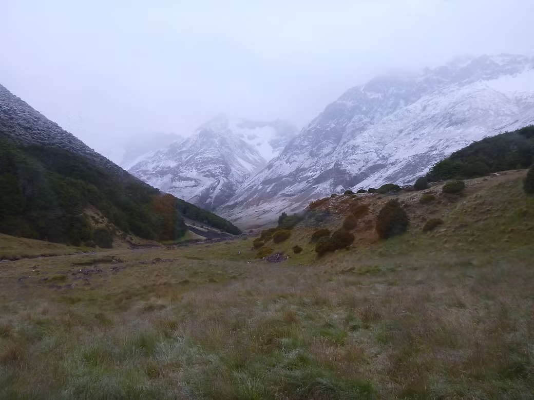


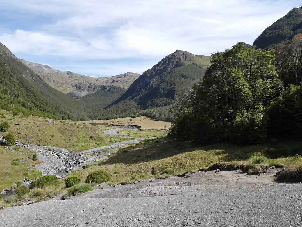
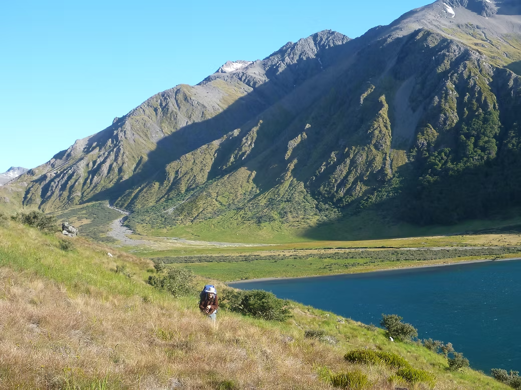


2016 Leatham, Hellfire Creek & Paske Saddle
This was the first trip that I’d done with Alan Davis in NZ and it was a wonderful introduction to remote walking there. As I was (and still am!) reluctant to carry more than a week’s food, Alan planned a “figure 8” route where we’d do an initial loop through the Leatham Conservation area, pick up a food drop and then do a second loop into the Rainbow River and Paske Saddle.
There was a track up the lower part of the Lee Stream to the first hut. Beyond there we just worked our way into the headwaters on the Raglan Range and crossed a high saddle into headwaters of Branch Stream. This involved climbing, traverses and a final descent on massive scree slopes. Very few people ever visit this area and the small hut (Branch Bivvy) still had its’ NZ Forest Service logbook that had been started in the 1980s. From there we were on marked routes down the Branch Stream to its junction with Misery Stream and from there to Top Misery Hut (wonderful name!).
The next day was a steep 1000m climb first through scrub and then then tussock. It took much of the day to get to what we knew would be a tricky crossing of the ridge and a steep descent into Hellfire Stream. The weather had deteriorated and the tops were in cloud so we eventually decided to camp in a very exposed position on the ridge in the hope that we could find a way across the following day. The weather went from bad to worse and we spent the night with heavy rain and the wind gusts flattening our tents onto our faces. The weather was just as bad the following morning so we decided to stay put and did so for the rest of the day.
The weather was marginally better the following morning, so we packed up and returned to the ridge to where we thought there might be a route down. As luck would have it, the weather cleared briefly giving us a glimpse of the lake that we were heading for far below . The descent was slow alternating between the slippery tussock and the bed of the stream but we eventually reached the treeline where Alan recalled an old marked route that we could follow. That route had not been cleared for many decades and the scrub was very thick particularly in the lower sections where we came across extensive areas of tree fall. This was very tiring as you are constantly having to remove your pack to pull it under or over logs and frequently having to back off and try a different route. By the time we got to the lower reaches of Hellfire Stream we’d had quite enough of it and were happy to find a suitable spot to camp as it was late afternoon with steady rain.
The following day we collected our food drop and moved on to Connors Creek where we spent the afternoon re-packing and drying out wet gear. the route then took us up the Rainbow River and up the marked route to Paske Hut. This was a very comfortable 8 bed hut in a magnificent setting at the head of the Paske Stream.
The unmarked climb up to Paske Saddle and the descent into the headwaters of the Clarence River was straightforward compared with some of the things we’d been doing the previous week. We camped at a lovely spot on the river bank but it took only a few minutes for the first sandflies to arrive so there was nothing for it but to retreat into the tent and then spend the first half hour killing the hundred or so that had come in with you.
We then worked our way down to Lake Tennyson and around the slopes on its western shore. I had less time available that Alan so we split at that point with Alan spending a couple more days on the St James walkway and finishing at Boyle Village. I went the other direction and crossed the outflow before walking out to the main road and hitching a lift to Blenheim and then Nelson.





2016 & 1997 Wilkin & Young Valleys 1994 Rees & Dart Valleys
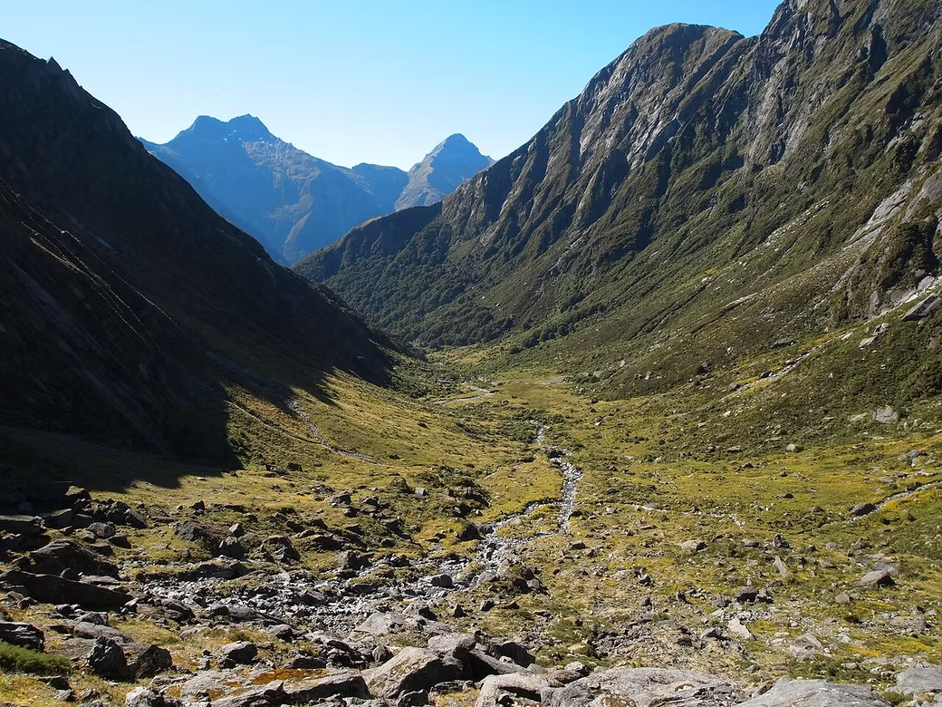
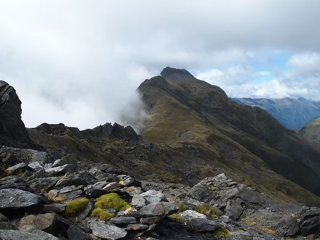
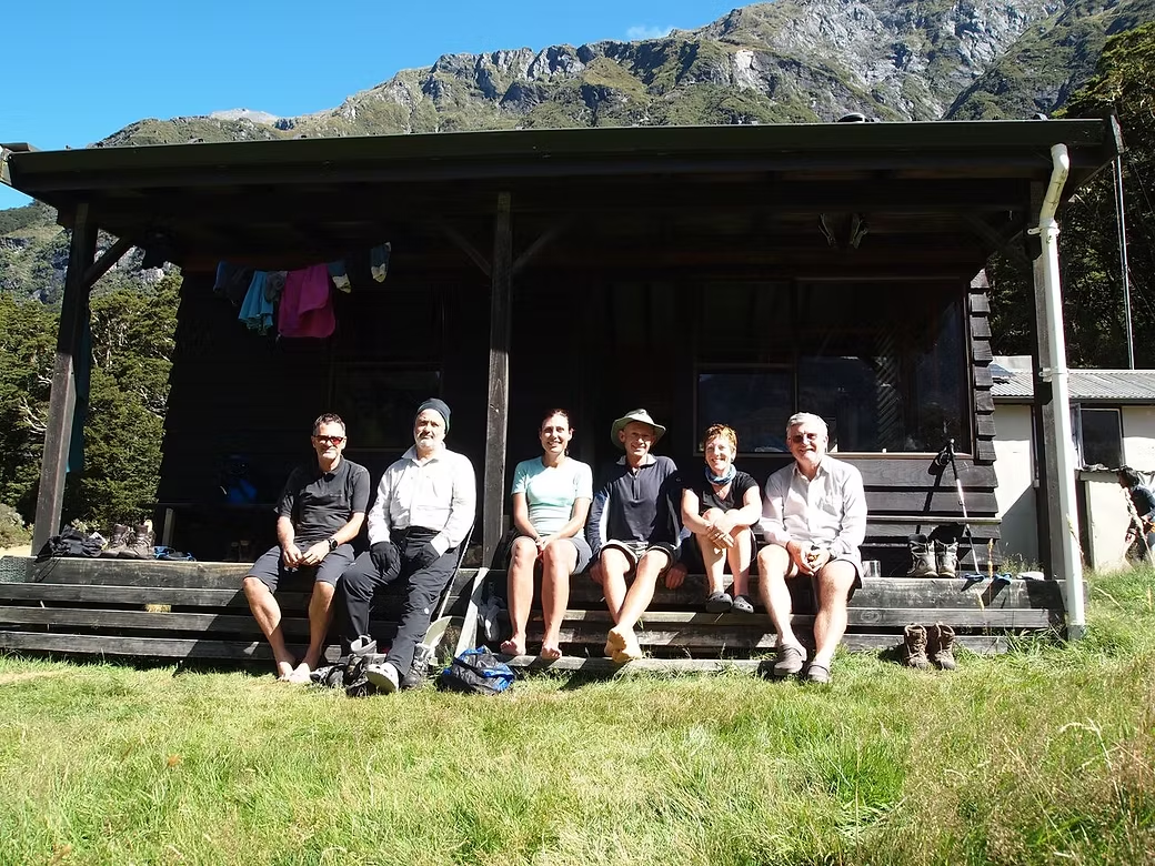
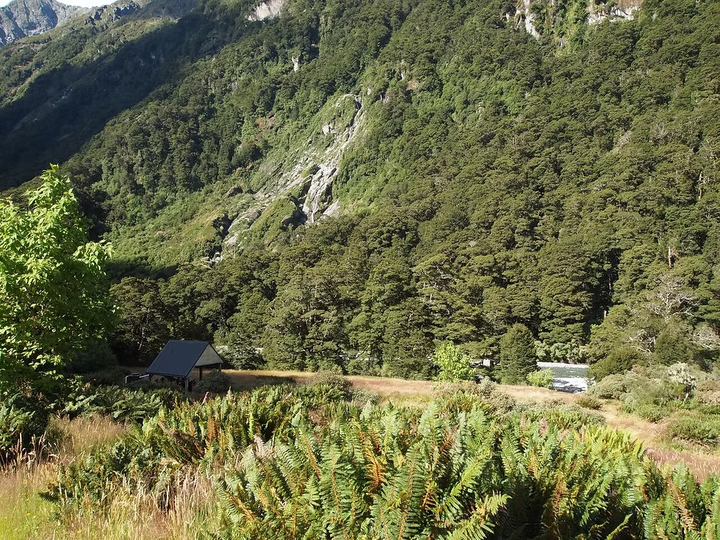
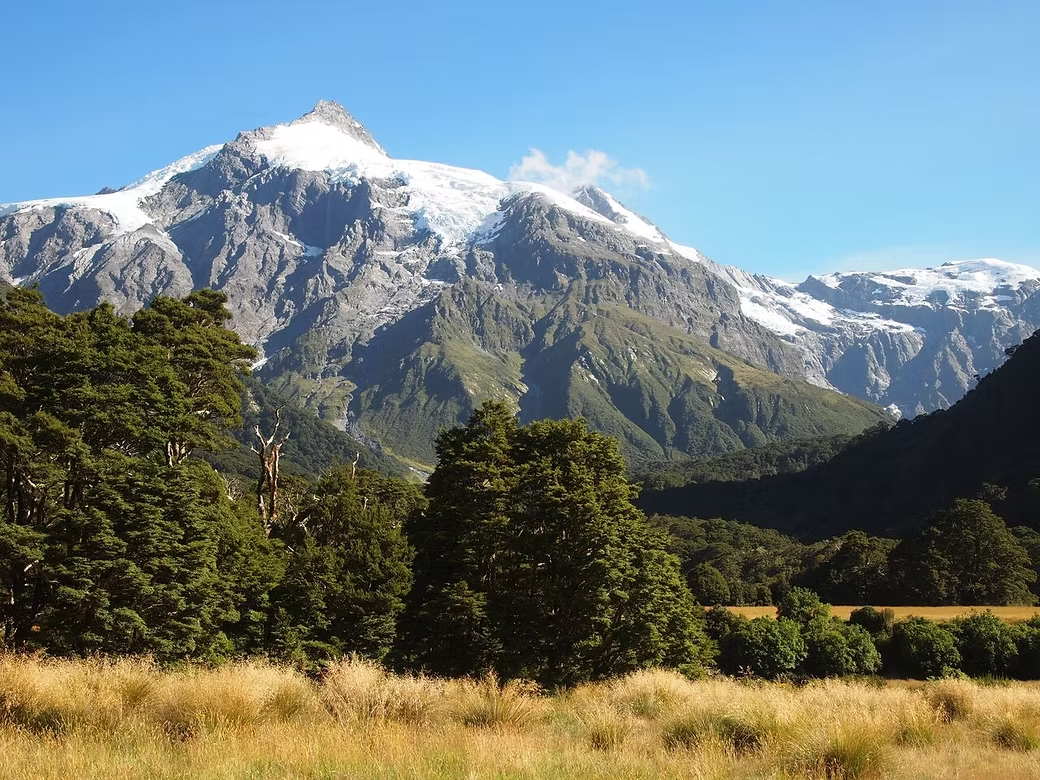
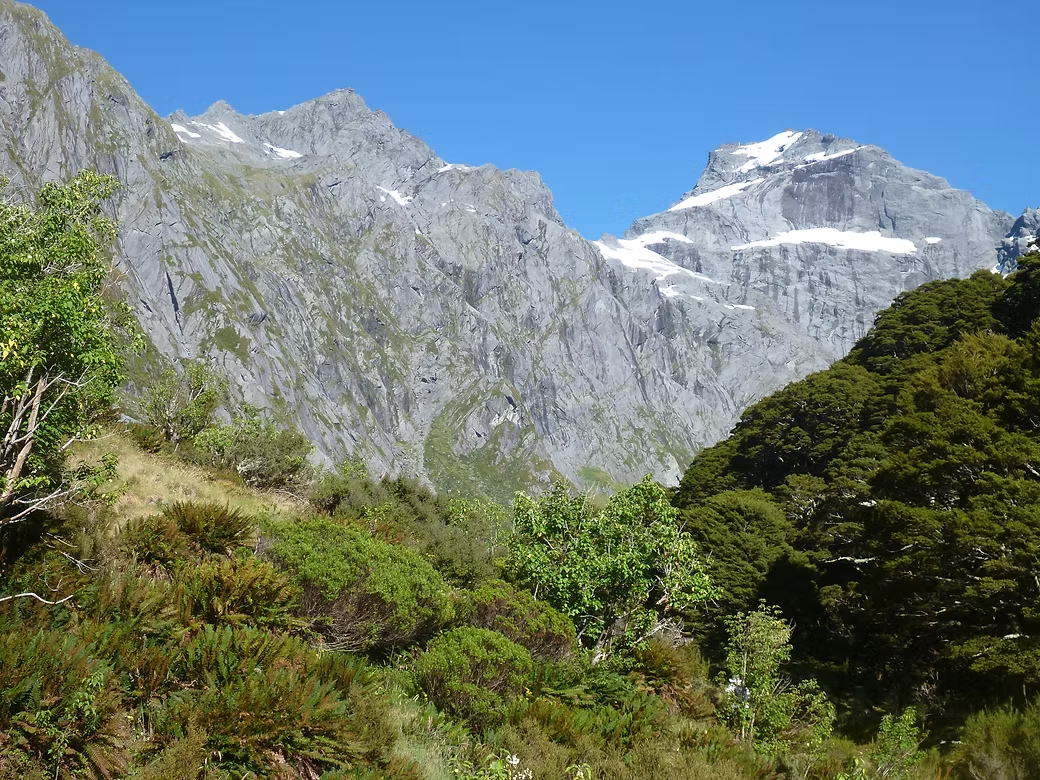
These are both circuits that involve a climb to a pass up one valley and then a descent down the other. The Rees & Dart circuit is accessed from the head of Lake Wakatipu and the Wilkin & Young from the village of Makarora at the head of Lake Wanaka. I’ve walked the former twice with a private group in 1997 then an Adelaide Bushwalkers group in 2016 and the latter once as a solo trip in 1994. The huge demand for “Great Walks” like the Milford and Routeburn has also increased the numbers doing these other walks. There were many more people doing the Wilkin & Young in 2016 than when I first did it in 1997. When I walked the Rees & Dart back in 1994, it was late autumn and I did not meet anyone else on the track other than some DOC staff.
On the 1997 trip, I arrived at Dart Hut in the early afternoon after crossing Rees Saddle. There were some DOC staff who were about to leave and, when I asked about the route to Cascade Saddle, they offered to take me to the base of the climb in their helicopter. While that meant that I could climb to the Saddle that day, it also meant that I almost had to spent a night out as I barely got back to Dart Hut before dark.
There have been tourist flights into the Young Valley for many years and the current offering is the “Siberia experience” where tourists are flown into the airstrip at the southern end of the Siberia valley, walk (downhill) to Kerin Forks and then exit via jetboat. After crossing Gillespie pass, the group that I was with in 2016 spent a day climbing up to the exquisite Crucible Lake with its ice floes. From Kerin Forks Hut, we had intended to cross Rabbit Pass into the Matukituki Valley but the weather was not great and the leader decided not to. So we did a day trip up to Rabbit Pass and then returned to Kerin Forks from where we were able to arrange a “backhaul” to Makarora on one of the helicopters operating into Siberia.



2015 Abel Tasman National Park
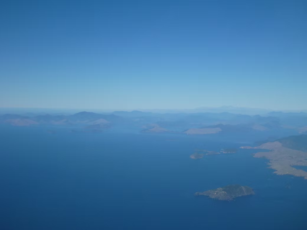
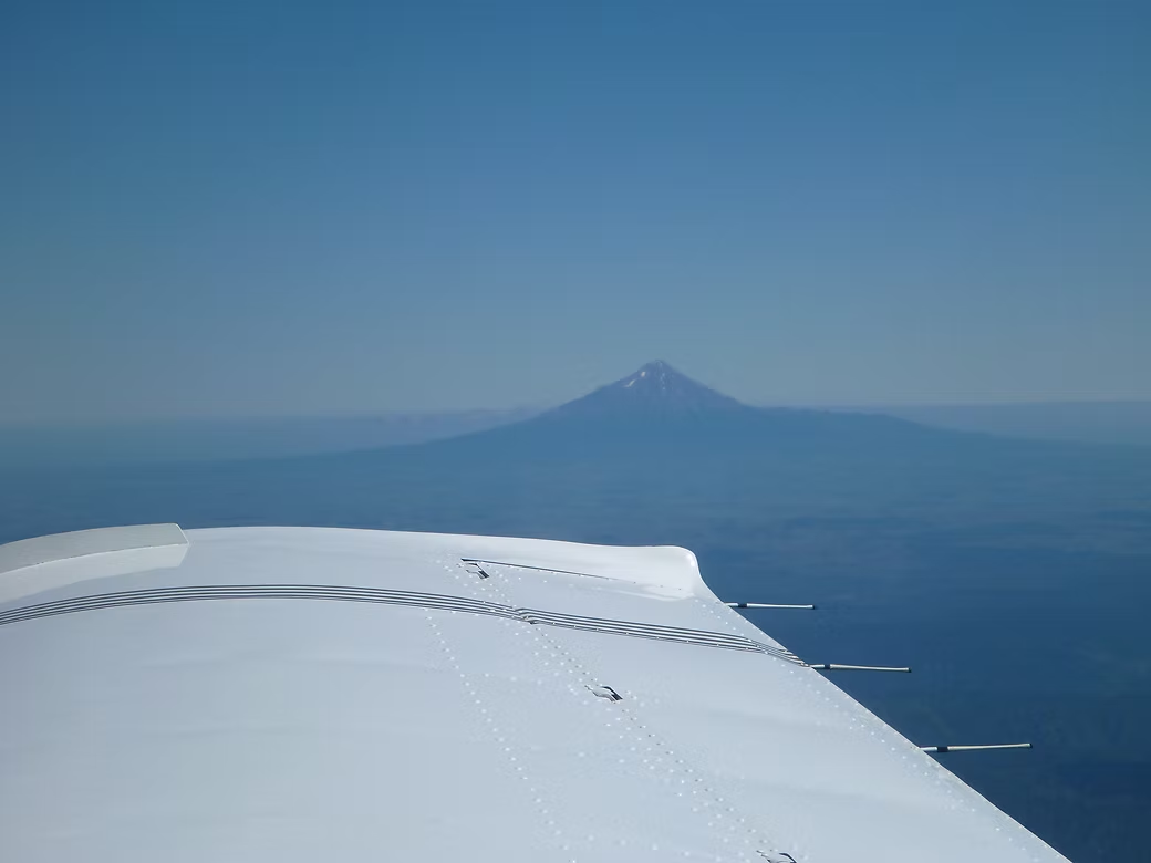
This was the first time that I had done a “Great Walk” since living in NZ in the 1970s and was also a bit different in that I flew myself from home to Nelson via Lord Howe and Norfolk Island. I’ve covered the aviation side of it on this page.
The leader was an old friend who had experienced a heart attack while walking with me in the Pyrenees in 2014 so this was a means for him to test how he’d go with future walks by starting with a walk that we knew would be pretty easy.
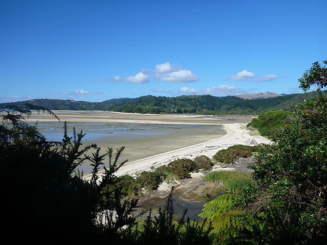
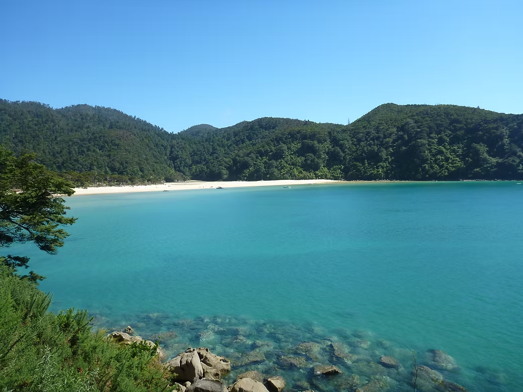
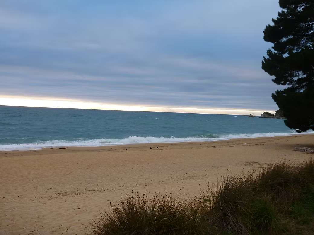
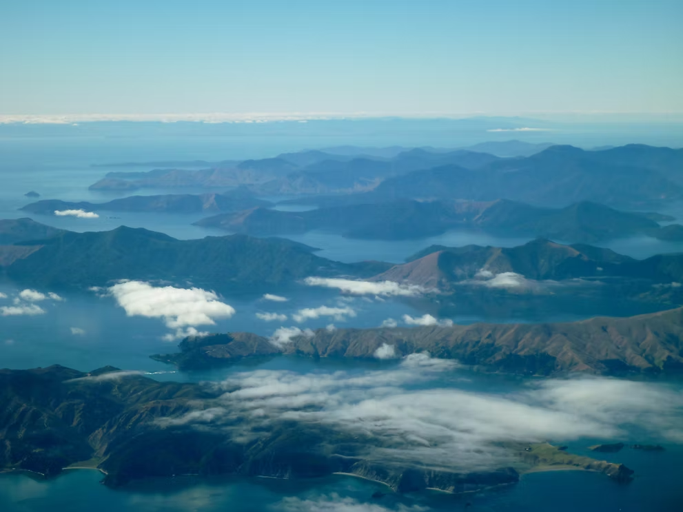
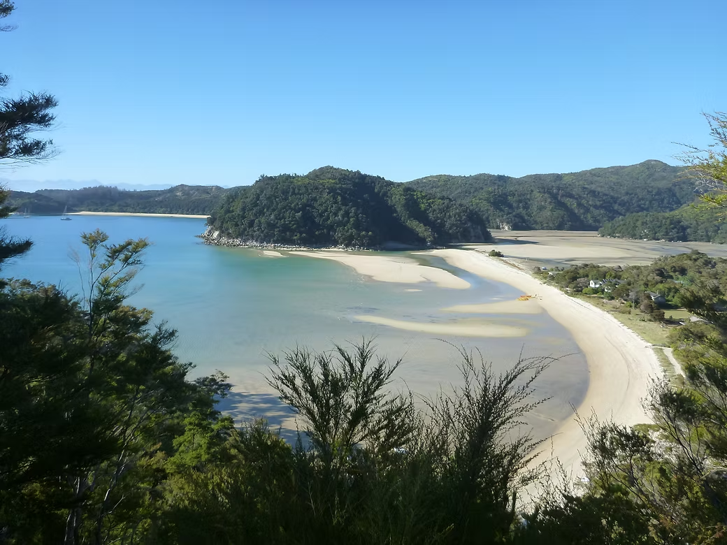
It is a coastal walk from Marahau to Wainui and is beautiful coastal scenery with a tidal inlet that needs to be crossed at low tide. This, and the strict booking system, means that parties have to stay in the campsites that they book and there is no flexibility. Transport is available daily from Nelson to the start and back from Totaranui.
There are many commercial operators running boat and kayak trips through the park and we frequently encountered day visitors doing short walks from the dropoff point from one boat and the pickup point of another.
It was really a very easy trip which meant that we spent much of the time on the beach in the afternoons, having reached camp before noon. It would have made it a bit more interesting to have returned to Marahau via the Inland Track but I’d not realised this at the time.










2013, 1992 & 1991 Ski Mountaineering 1995 Mt Cook climbing
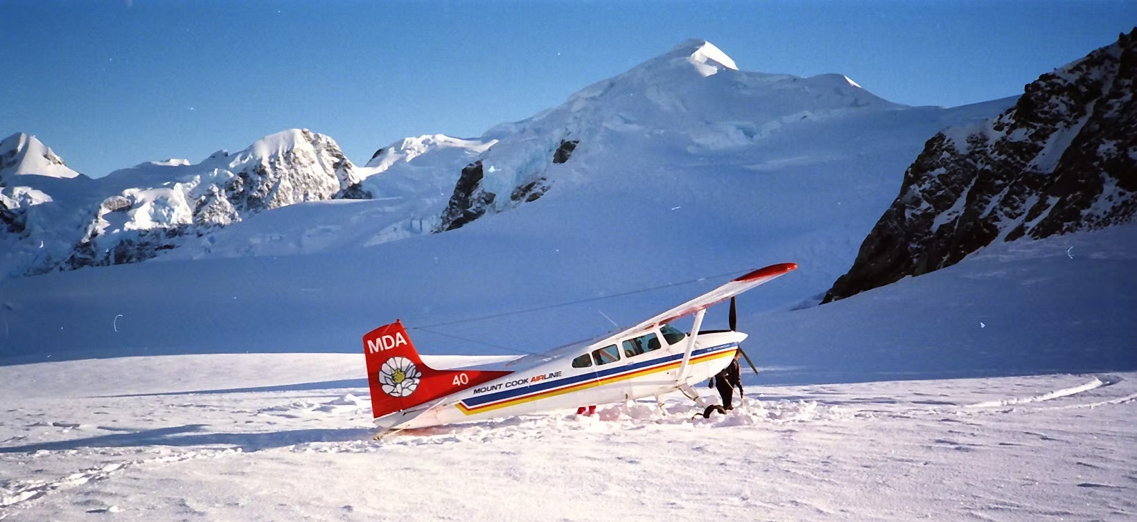
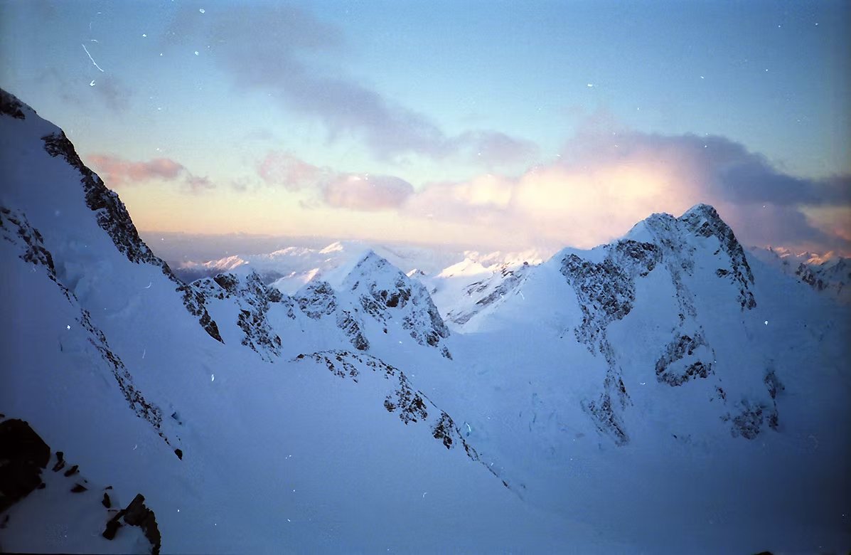
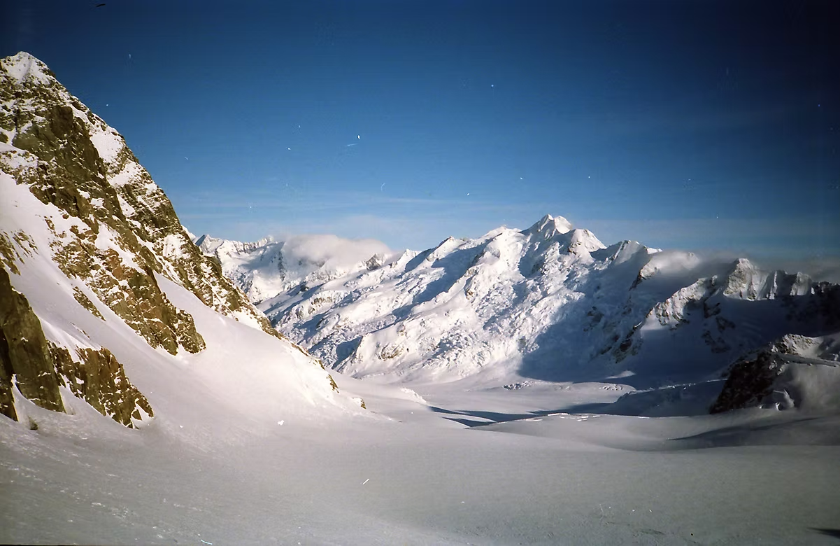
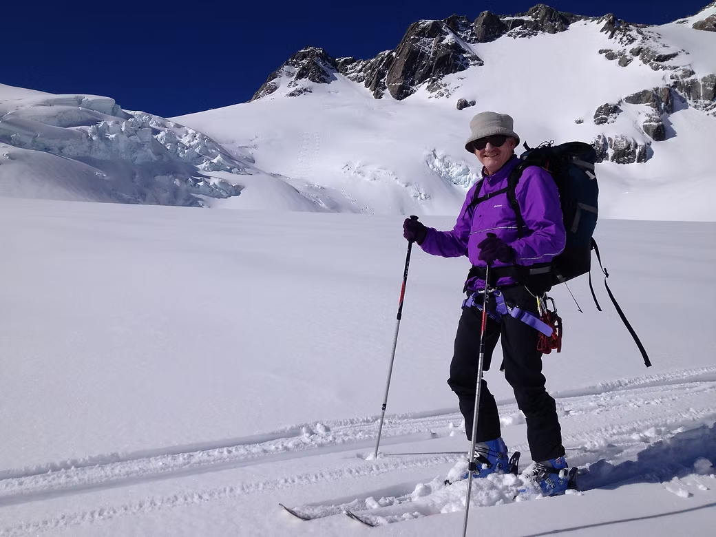
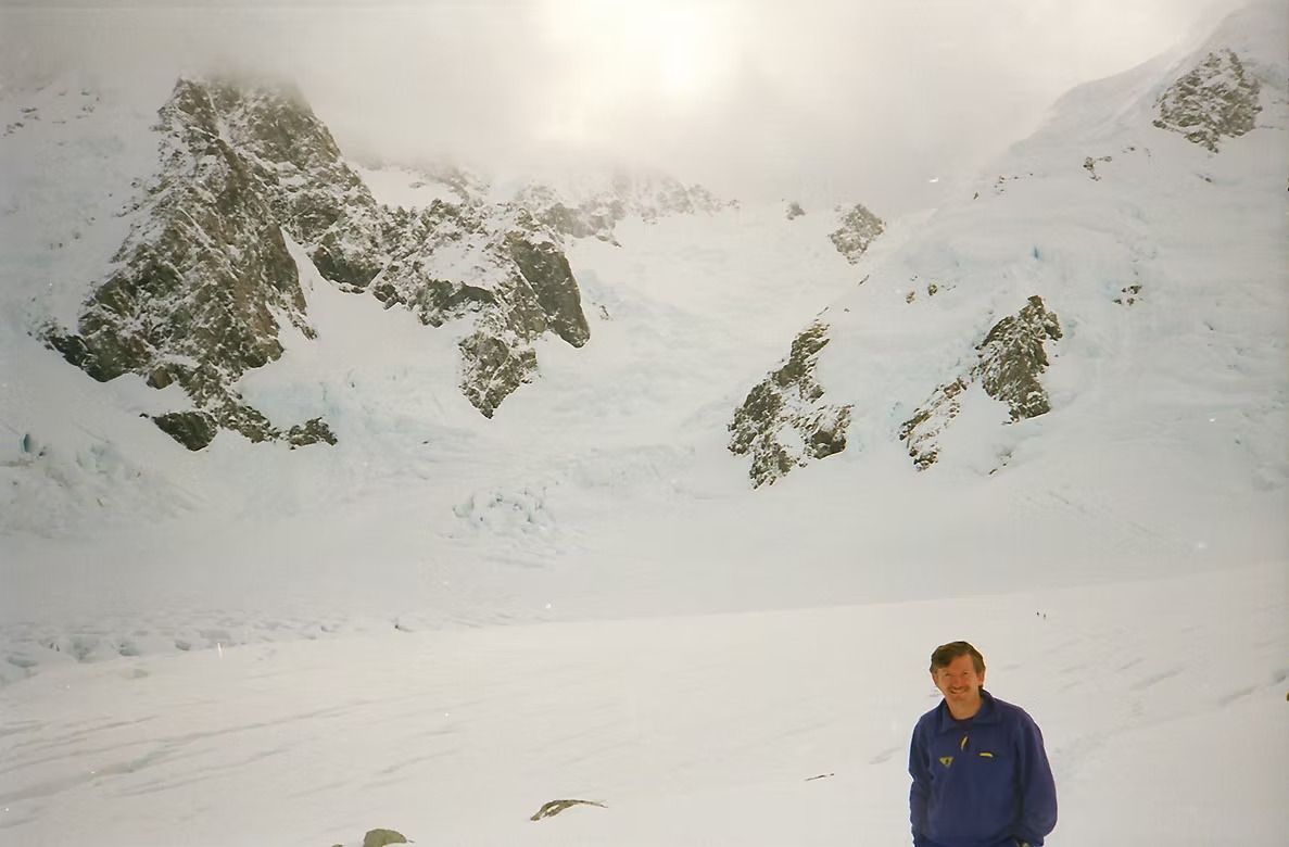
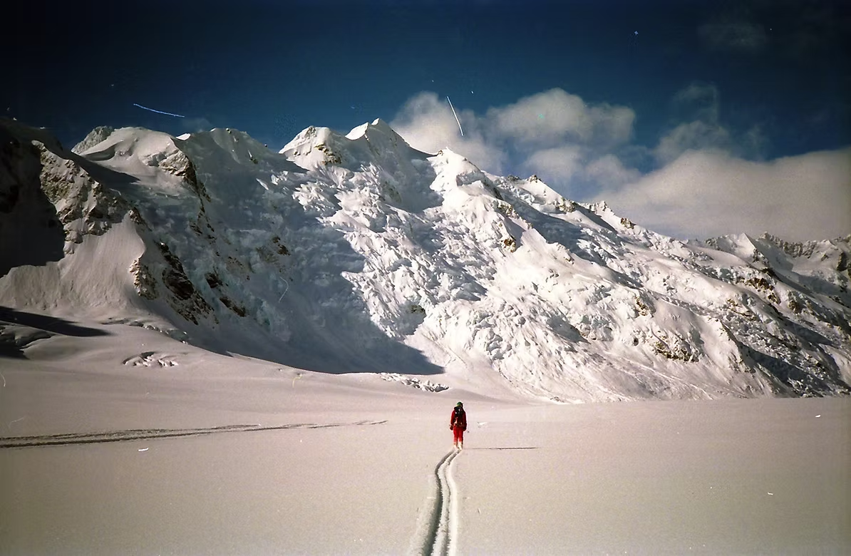
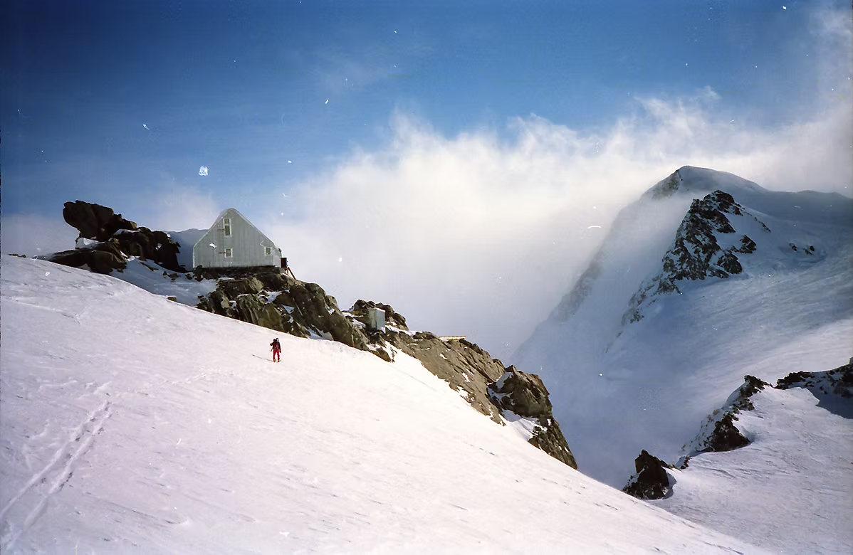
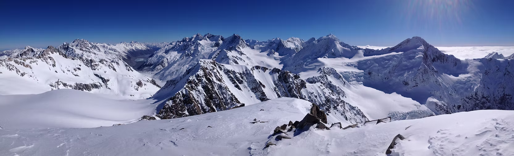
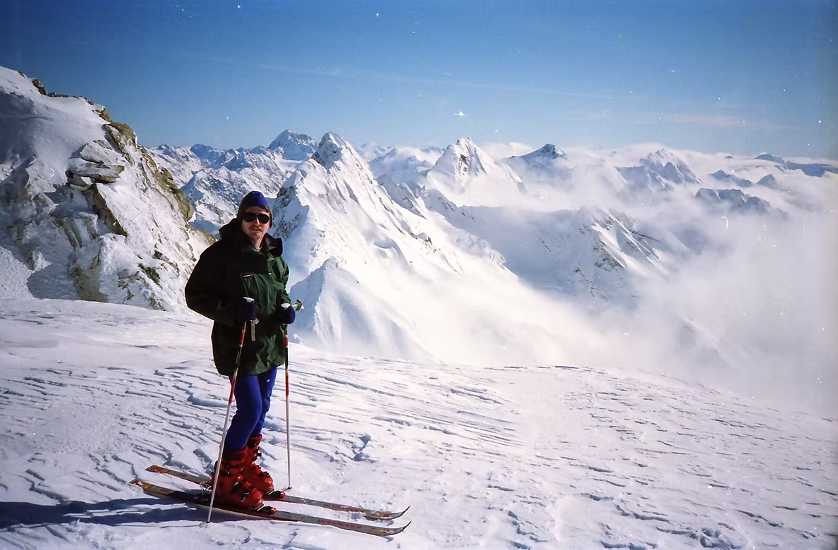
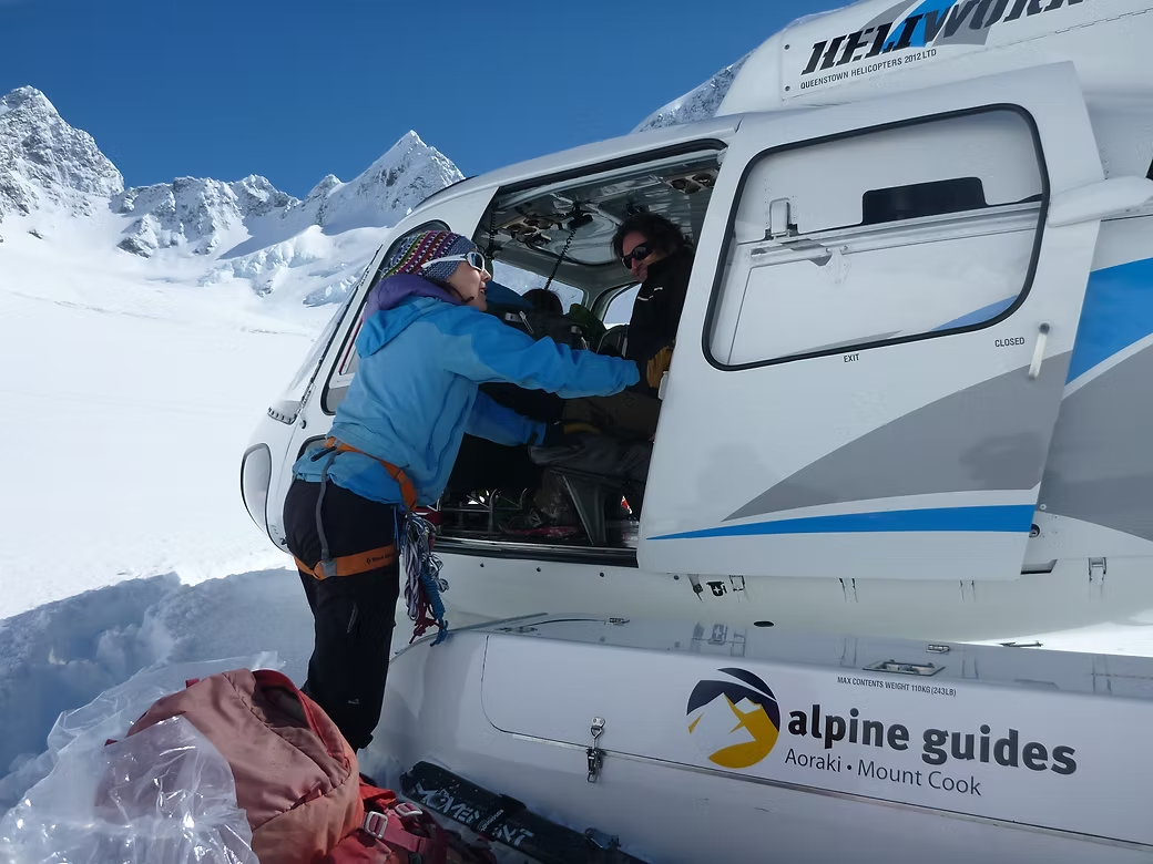
I’ve done three ski mountaineering trips (two into the Mt Cook area and one into the Two Thumb Range near Lake Tekapo) and one climbing trip to attempt Mt Cook. The two ski mountaineering trips at Mt Cook were courses with Alpine Guides and, on the first, I was the only participant and on the second one of two participants. The weather was terrible on the first trip and perfect on the second. On the first trip, my guide was Dave “Spoons” McLeod and the plan was to base ourselves at Kelman Hut and ski to the peaks thereabouts. We were dropped at the head of the Tasman Glacier by ski plane. There was been a spell of bad weather and and the plane came to rest partly buried in the fresh snow. So our first task on arrival was to dig the plane out and turn it around so that the pilot could take off.
That afternoon, we skied to an area not far from the hut where Dave demonstrated how to dig a snow pit to assess the risk of avalanche. The idea was to dig into the slope to leave a pillar of snow about 30cms wide and then insert a shovel behind it to see whether it would break off. Just before we inserted the shovel, Dave said that he didn’t expect it to show much as he’d purposely chosen a “safe slope”. But, after he’d inserted the shovel only a few centimeters, the top 40cms of show abruptly slid off in a large block. He didn’t need to say anything as we immediately put our skis back on and gingerly traversed off the slope!
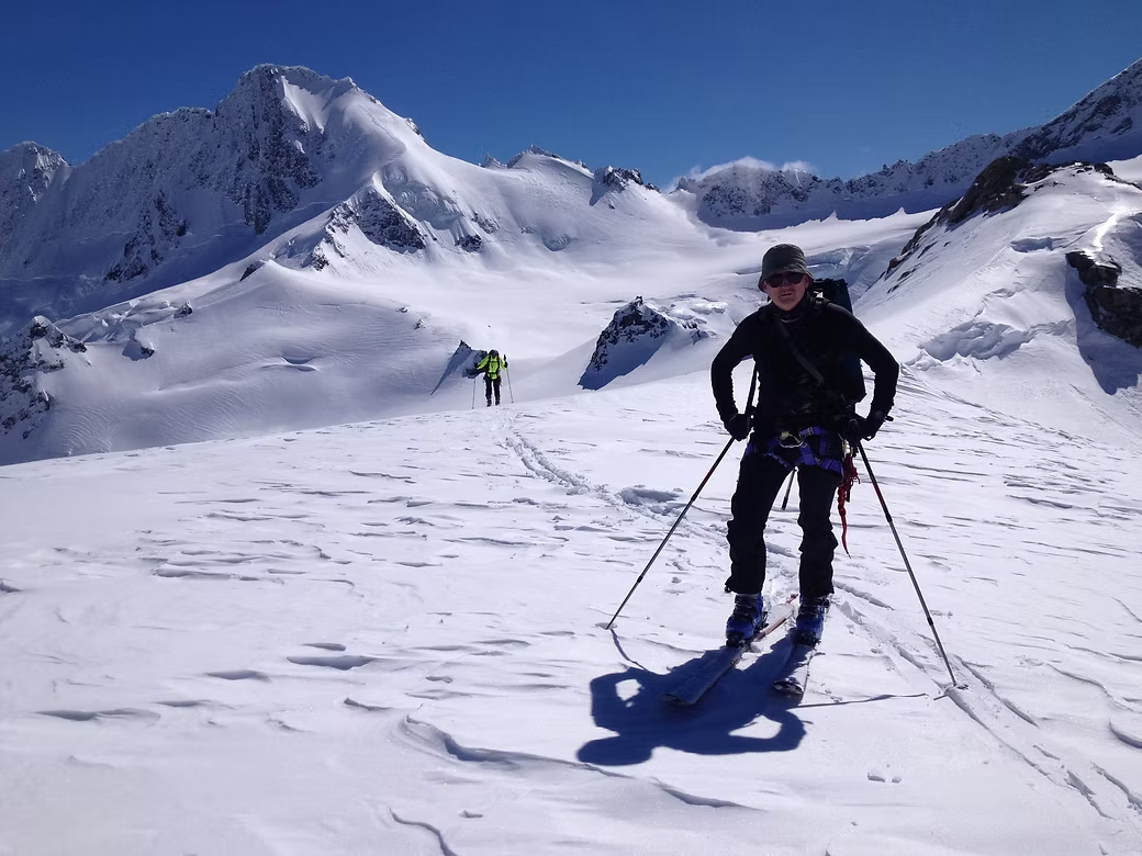
The next two days we skied around the area between Kelman and Tasman Saddle Huts. The weather was good and we had some nice runs interspersed with a few times when we had to rope up because of the crevasses. That afternoon two other groups arrived at the hut – a Canadian couple with their guide Gottleib Braun-Elwert and a second group of three Outward Bound instructors. Dave was aghast when he saw Gottleib come in the door as he was due to spend much of the following week with him doing his final assessment for his guiding qualification. He was not looking forward to being under his scrutiny for an extra few days.
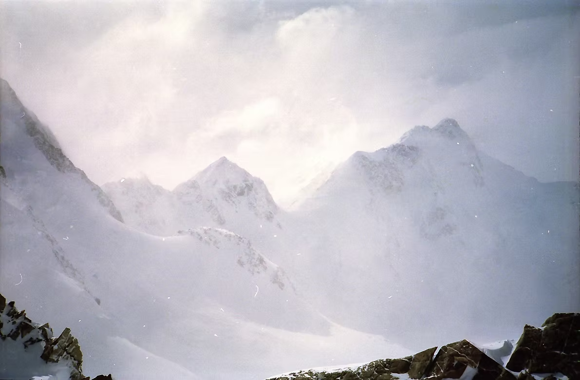
The weather then turned really bad for the next four days with heavy snow and howling winds that made the hut shake in the bigger gusts. That was no mean feat as Kelman is a large hut that had been anchored with 40 tonnes of rock. During that time, just visiting the toilet involved dressing in full gear including crampons, attaching yourself to the fixed line that Gottleib and Dave had set up and being ultra careful on the thick ice that coated the steps. The hut was freezing cold even in the middle of the day and the only way was get warm was to wear a duvet in the sleeping bag. Gottleib said that this was the worst storm that he’d seen in the NZ Alps and it was the snow loading created by this storm that caused a landslide a few months later that took 30 meters off the summit of Mt Cook.
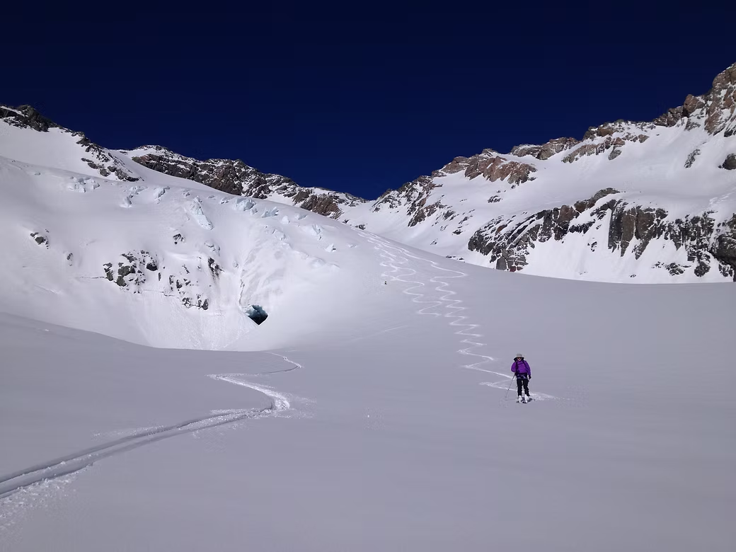
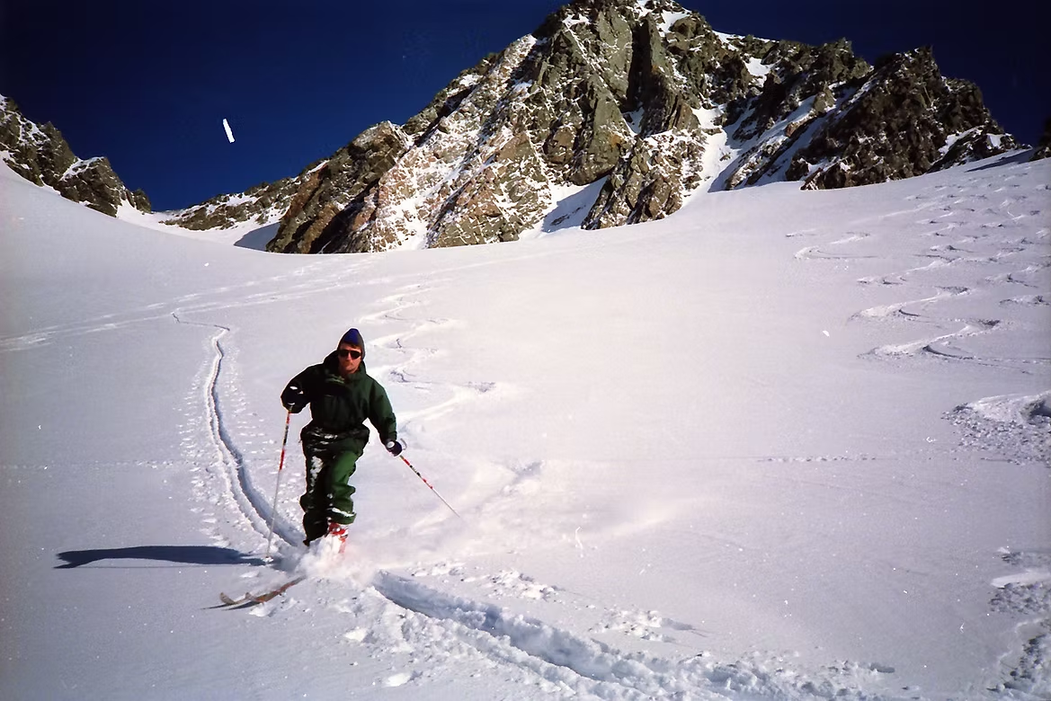
On the Friday, the weather suddenly eased off, the wind dropped and there was some visibility. When we dug a pit, there was three meters of packed graupel (ice pellets) left despite the winds having carried most of it over the saddle and onto the Murchison glacier. In the late afternoon, we all skied down the Tasman Glacier in knee-deep powder show to a point where a huge avalanche (with house sized blocks of ice) had fallen from the Minarets. We could not spend much time there but put the skins on our skis and made our way back to the hut just before dark. By this time, we were due to head back so arranged for the aircraft to collect us from the bottom of the Tasman Glacier the following morning. It was clear weather and superb skiing for many kilometers down the glacier to Climbers Col where the ski plane took us back to Mt Cook Village.
The next trip in 1992 was a week into the Two Thumb Range near Lake Tekapo where Gottleib had a comfortable private hut. There was only one other participant so we spent the time skiing around the mountains there in very deep snow. Sadly Gottleib was in the news in 2008 when he collapsed and died in that same hut from a heart attack at the age of 59 years. What was newsworthy was that he was guiding a private group including the then Prime Minister of NZ Helen Clark.
In 1995, I arranged with Alpine Guides to guide myself and an old friend from Canada on Mt Cook. After some preparatory climbing in the area, the helicopter took us up to Plateau Hut and we started climbing about 2am. We were making good progress but, about mid morning, the senior guide said that we were turning back as he believed that the snow conditions above would be too soft for us to make the summit.
In 1996, I again signed up for a ski mountaineering course with Alpine Guides and there was again only one other participant who was a French ski instructor who lived near Grenoble. I was pleasantly surprised when the guide was Gottleib’s daughter Elke who had continued his guiding business. When I arrived in Mount Cook, the weather had been bad for the previous week and nobody had been able to get into the mountains. But it was fine the following day and the three of us were dropped by helicopter onto the Murchison Glacier with all our food and gear for a week. With heavy packs we set off up the slope to Murchison Hut. I was out of practice with kick turns and felt my knee give when I fell l heavily on one of the turns. For the next week the weather was superb with fine conditions and light winds so we were able to do a lot of touring in excellent snow conditions. By mid week I had to take a day off as my knee was getting very painful. During the week a large group arrived to camp on the glacier below and when we visited, they were a camera crew filming skiers for North Face. They were skiing some extreme slopes and we heard later in the week that two of them had ended the week with leg injuries. The timing of our helicopter pickup was excellent as the weather was getting progressively worse the day we were due to be collected. It was late and had us wondering whether we’d be there for a few more days, but the helicopter eventually arrived to take us back to Mt Cook Village.