Bushwalking in Australia
There are not many huts in remote country in Australia so it is usually necessary to carry a tent, sleeping bag and food on bushwalking trips.
The mountains of South East Australia rise to about 7,300′ (2200 meters) and there are large areas of plateau that are above 5000′. Snow falls between July and October and there is good cross country skiing in the high plateau areas like the Bogong High Plains and the Snowy Mountains.
The lower slopes of the mountains are heavily timbered and the largest species (eucalyptus regnans) can reach heights of 90 meters. The trees get smaller with altitude and only snow gums (Eucalyptus pauciflora) at the highest altitudes below the snow line.
The inland areas of Australia are arid but often have impressive ranges like the Flinders Ranges in South Australia and the McDonnell Ranges of the southern Northern Territory. The north of Australia is tropical and has a climate and vegetation that is completely different from elsewhere in Australia.


1969-1995 Walking & Skiing in South Eastern Australia
I first joined a walking club in the late 1960s when at secondary school and walked regularly throughout Victoria with occasional trips to Tasmania and the Snowy Mountains until I went to NZ to go to university in 1974. At that time, all XC skis were wood and mine were one of the first batch of ten pairs imported into Victoria by Loch Wilson who sold them from his shop in Glenhuntly.
When a few of us went skiing in the Cradle Mountain area in the winter of 1972, we were the only people in the entire Cradle Mountain-Lake St Clair National Park. There was about 12 feet of snow and the first picture above shows me (at 18 years old) digging a hole to the door of Kitchen Hut. The other chap in the picture is Tyrone Thomas who was a prolific writer of walking guidebooks at that time.
After returning to Australia in 1980, I spent only a few years in Melbourne before being again based there from 1988 to 1995. During that time, I walked in almost every part of the state. During the later period, I did the Bushwalking & Mountaincraft Leader Certificate (BLMC) and Ski Touring Leader Certificate (STLC) and later staffed on them as well as joining Bushwalkers Search & Rescue (BSAR).







Australian Alps Walking Track (AAWT)
655km ~5 weeks 27,000 meters climbing
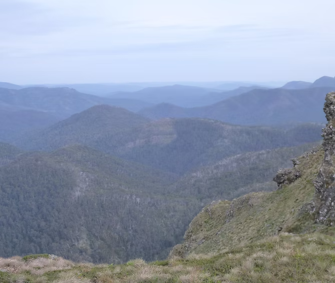
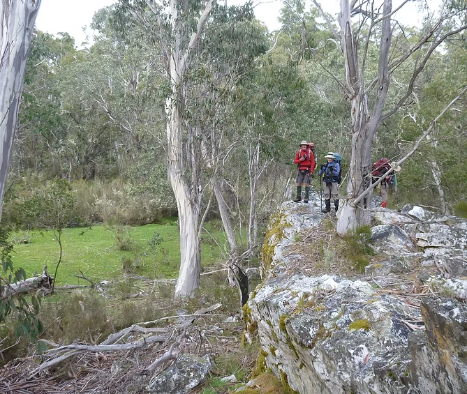
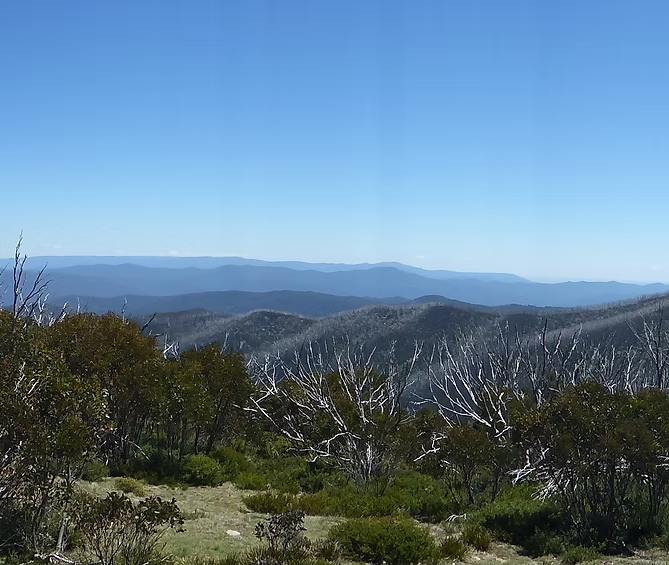
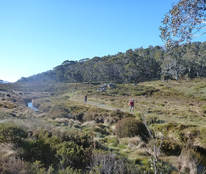
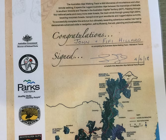
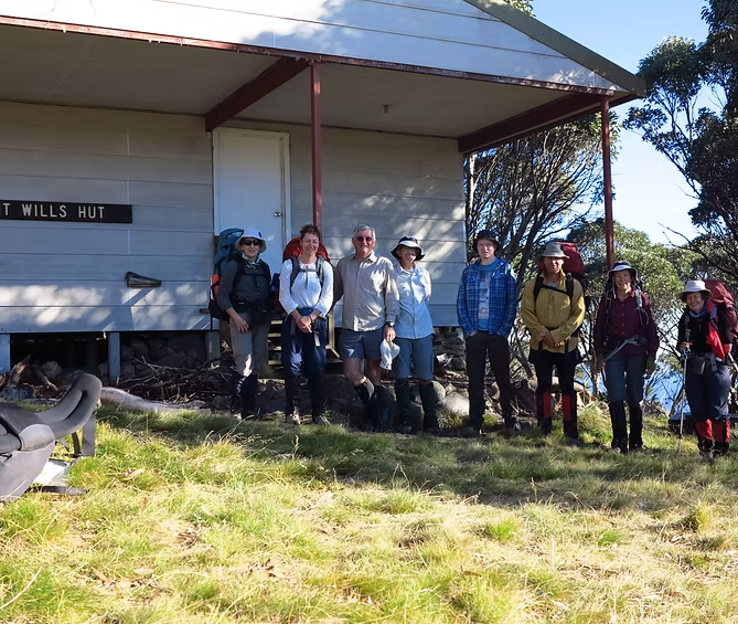
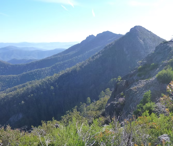
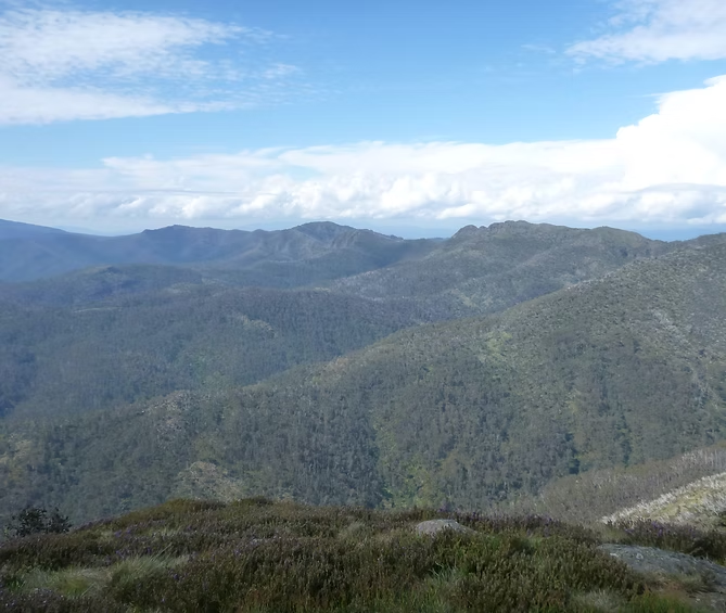
The Australian Alps Walking Track links Walhalla an old gold mining town in the south if Victoria with Tharwa (near Canberra in the Australian Capital Territory). It is 655 kilometers long and passes through the high alpine areas of Victoria and NSW. It does not pass through any towns other than a few ski resorts.
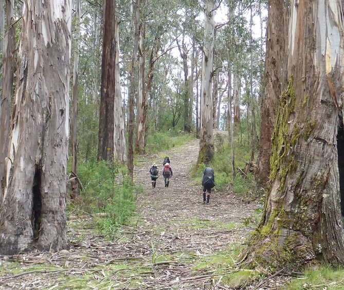
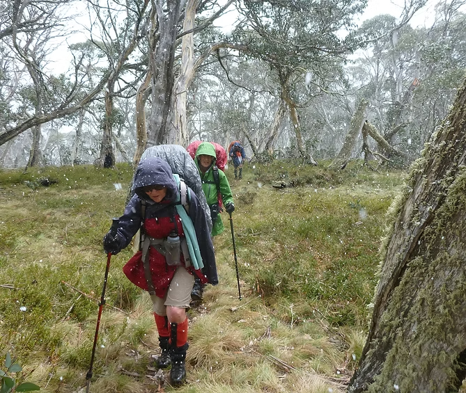
It is more of a route rather than a prepared track. Much of it uses existing 4WD tracks but parts of it pass through wilderness areas where there are no tracks or trail marking. Parts of it will be snow-covered from June to October and weather conditions can be extreme at any time of the year with the added risk of bushfires in the summer.
Walkers need to be fit, experienced and well equipped and to have good navigational skills. The route is not easy to follow in some sections and conditions change every year as parts of it are altered by bushfires, regrowth and logging.
It takes anywhere between 5 and 8 weeks of walking and can either be done in sections or with re-supply through pre-placed food drops. Total climbing and descent is more than 27,000 meters.
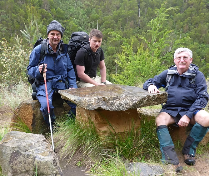
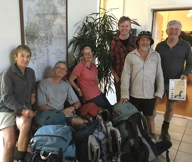
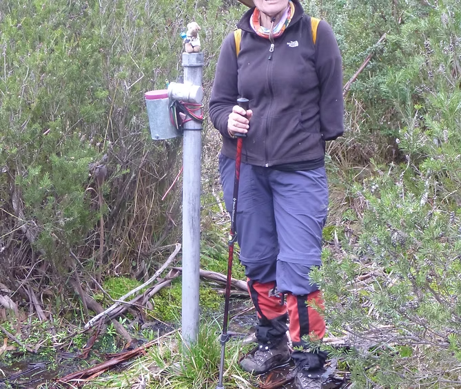
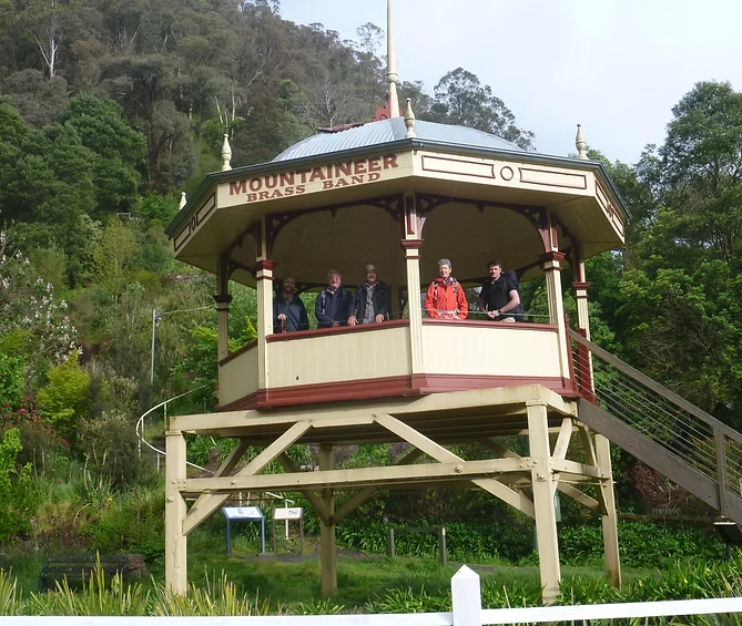
I have done it twice in the north to south direction and, in both cases, by doing it in one to two week sections. The first time was mostly with Maroondah Walking Club over the Xmas-New Year periods in 1990-95 but with one solo section. The second time I did it between 2016-18 by leading three sections for Border Bushwalking Club, doing one section solo and joining other groups for the remaining two sections.


























Heysen Trail & Parachilna-Moolawatana
1200km & 400km
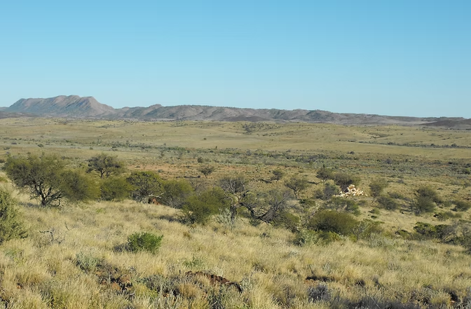
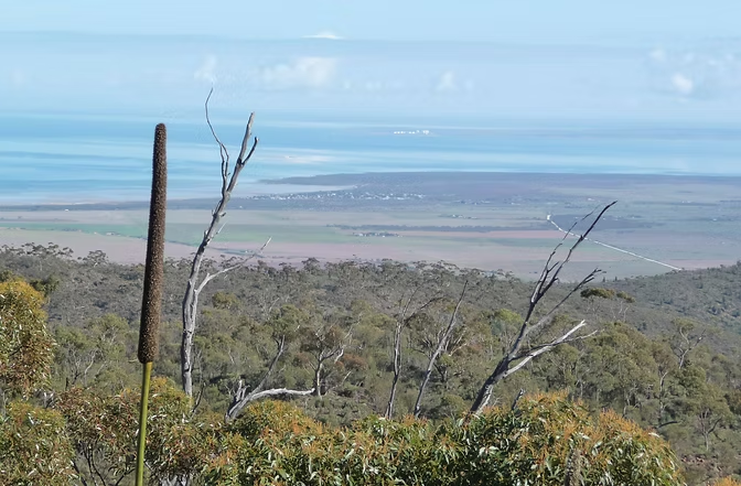
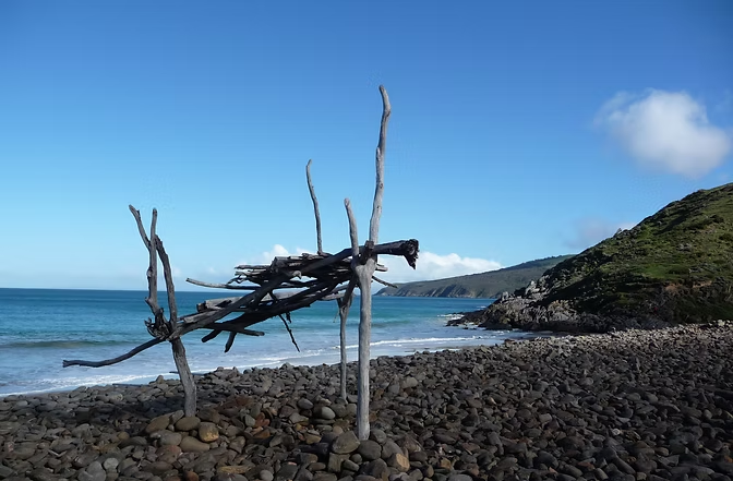
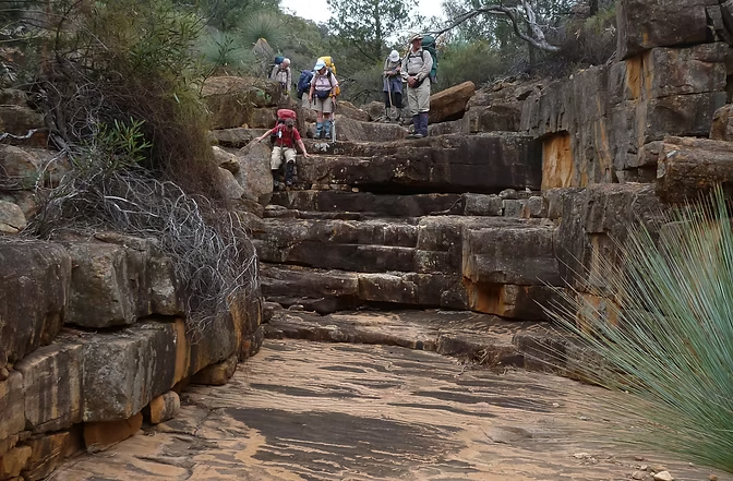
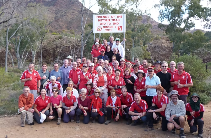
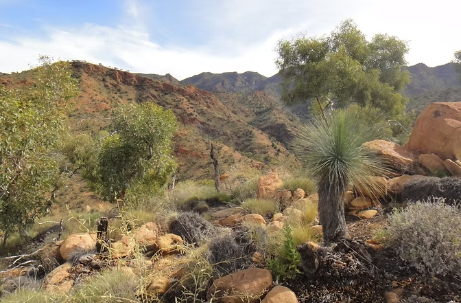
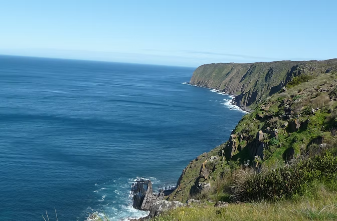
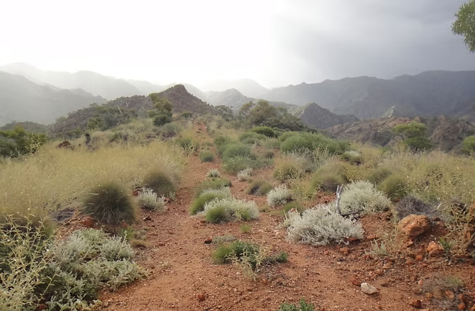
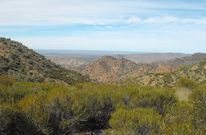
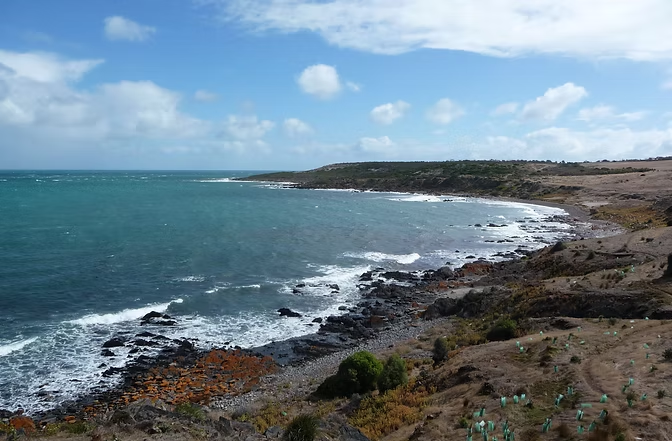
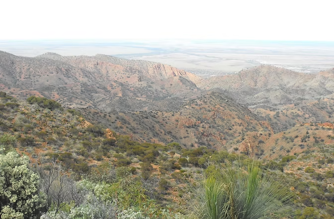
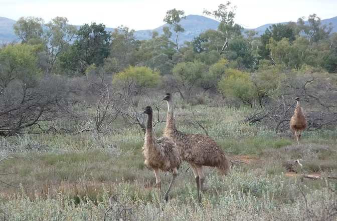
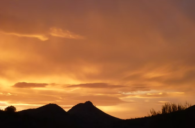
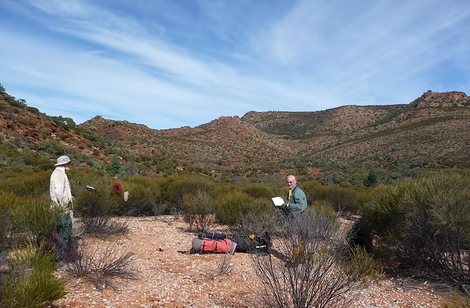
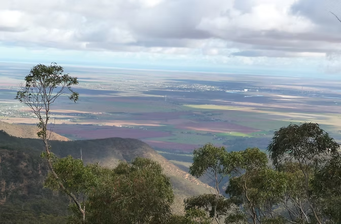
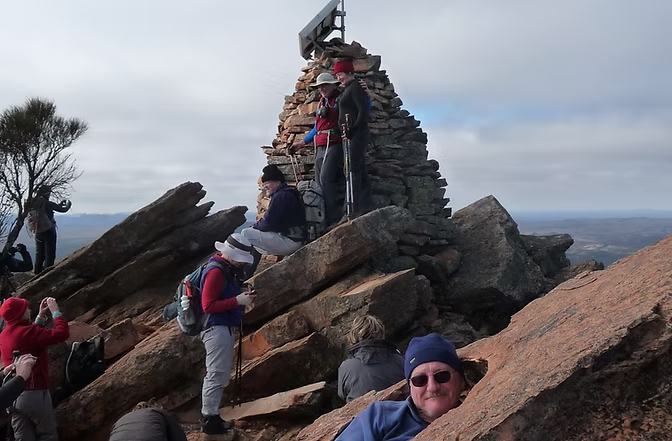
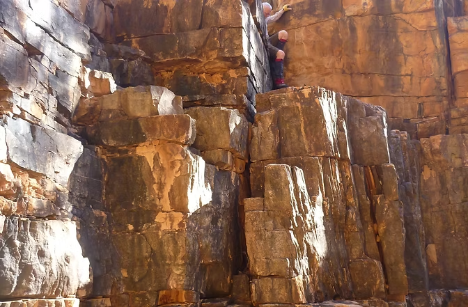
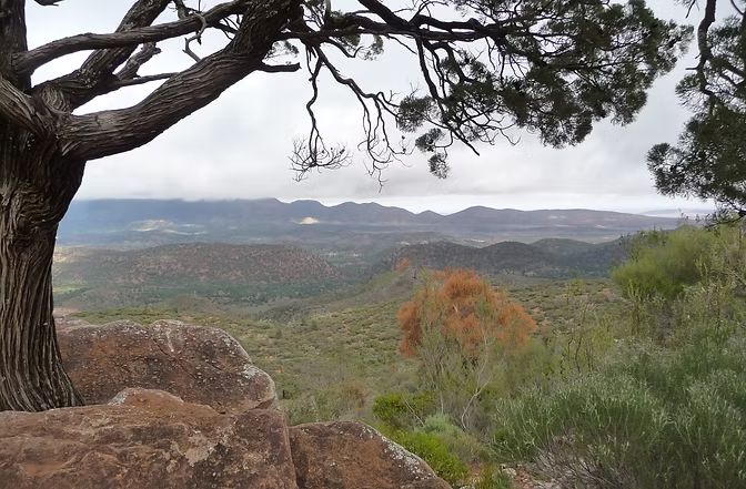
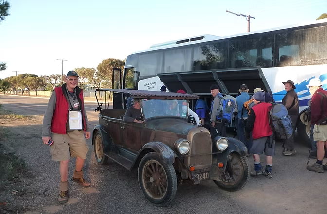
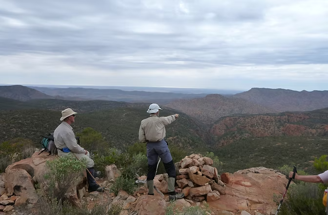
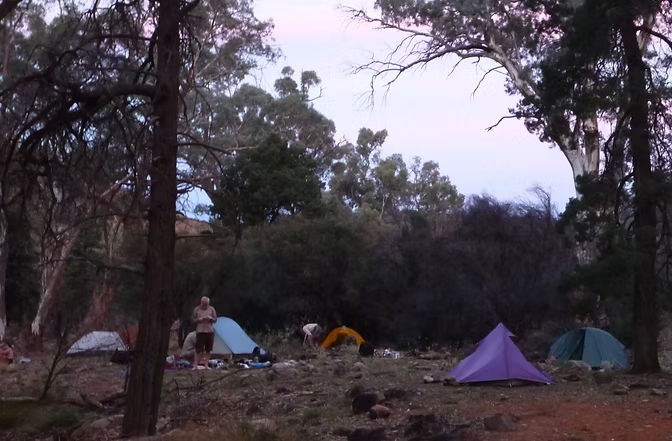
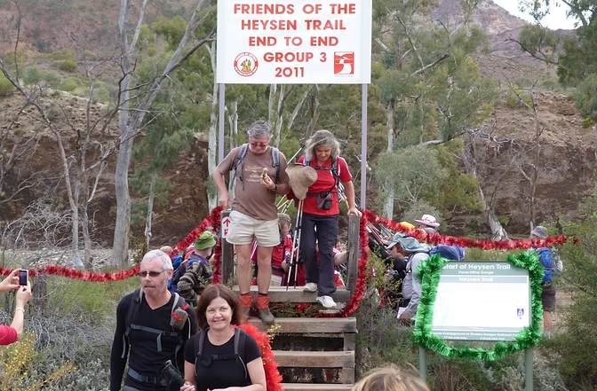
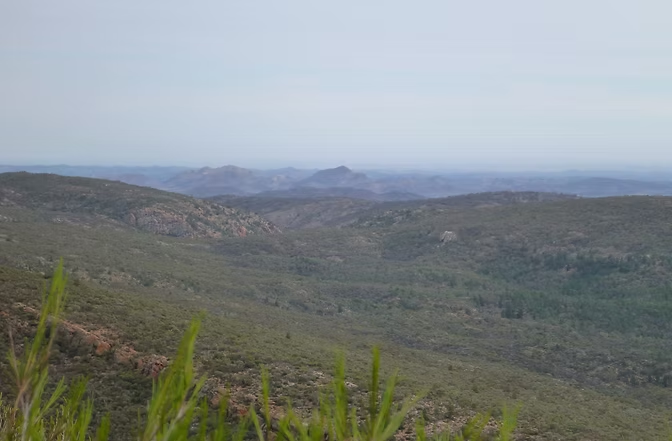
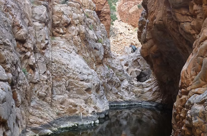
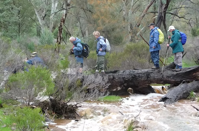
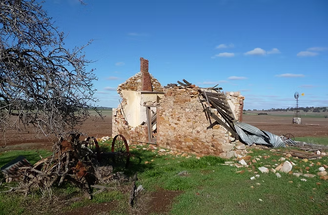
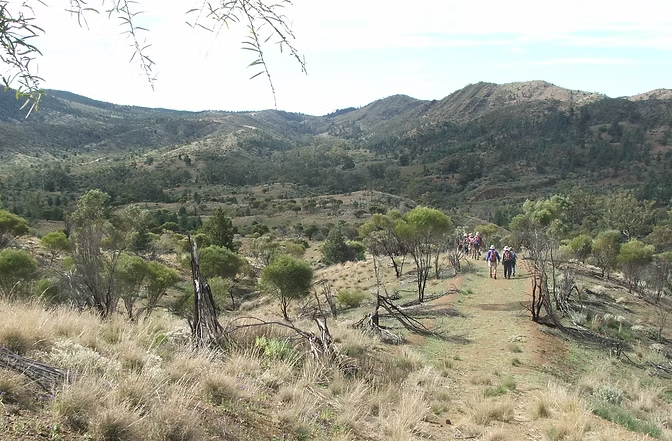
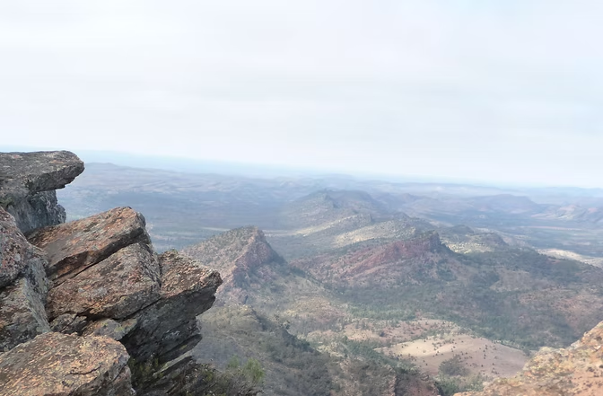
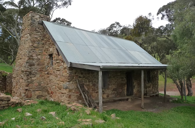
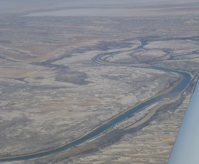
While living in Adelaide, I walked the entire length of the Flinders and Mt Lofty Ranges from Cape Jervis right up to Moolawatana in the north where the Flinders Ranges disappears into the Simpson Desert. This began by walking the 1200km Heysen Trail between 2008 and 2011 with the Friends of the Heysen Trail as part of the End to End 3 group. The FoHT are day walkers who using buses and cars to get to and from their walks. The southern sections from Cape Jervis past Adelaide and through the Barossa Valley were organised as day walks. Further north, this became weekend base camps and then week long base camps to do the northern sections.
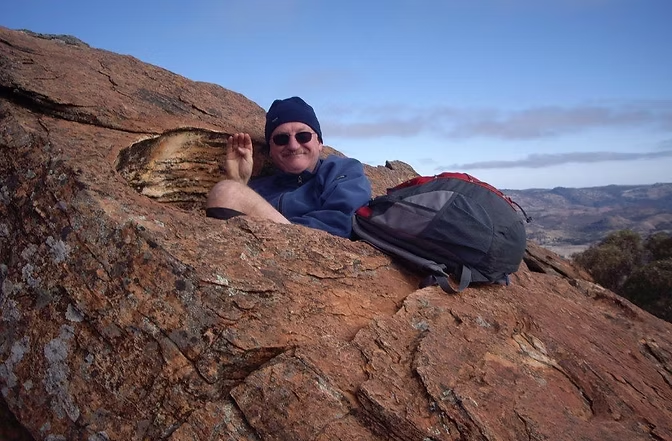
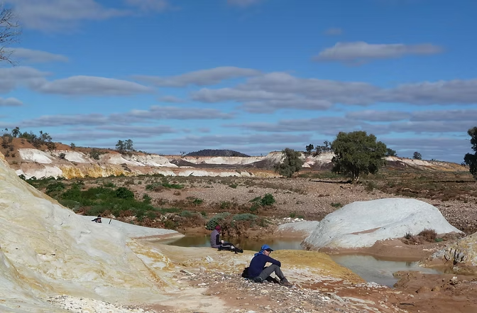
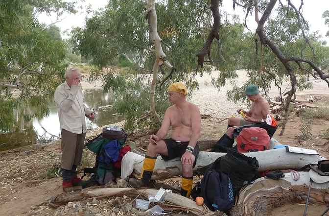
The Heysen Trail terminates at Parachilna Gorge as the areas north of that are too remote and dry to be safe for most walkers. I was fortunate that an old friend, Jim Happ, had walked this area for many years while living in Port Pirie. So, between 2011 and 2014, Jim led a series of extended backpacking trips during which we walked from:
Moolawatana via the Mawson Plateau to Arkaroola;
Arkaroola via the Gammon Ranges to Balcanoona; and
Balcanoona via Patawarta to Parachilna.
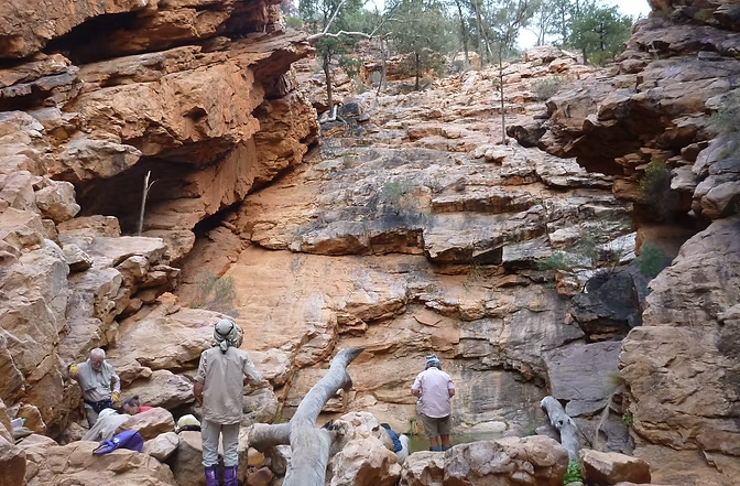
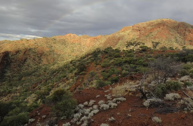
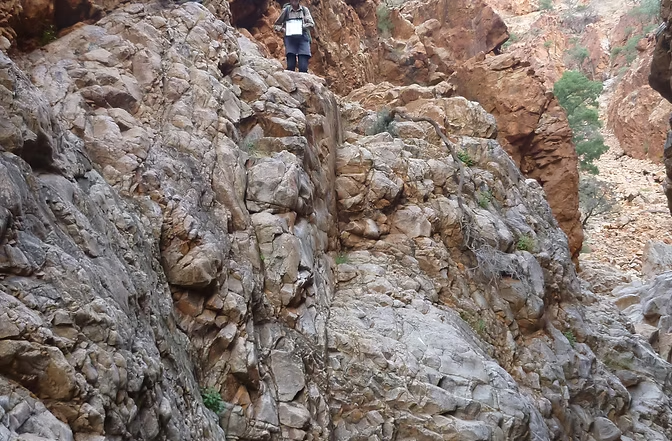
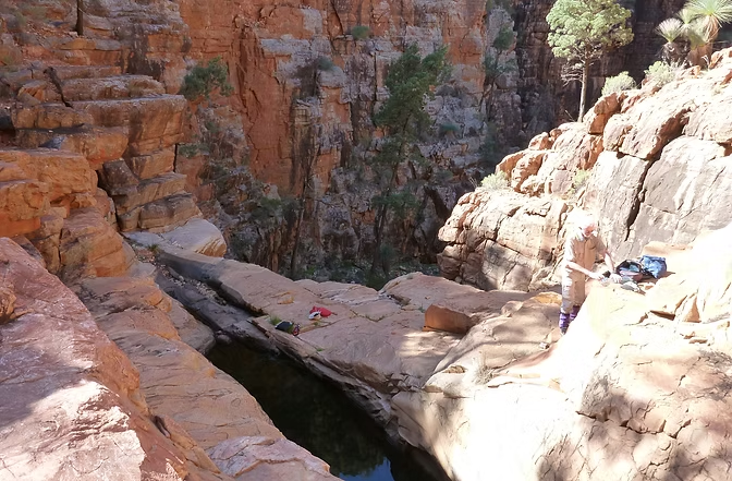
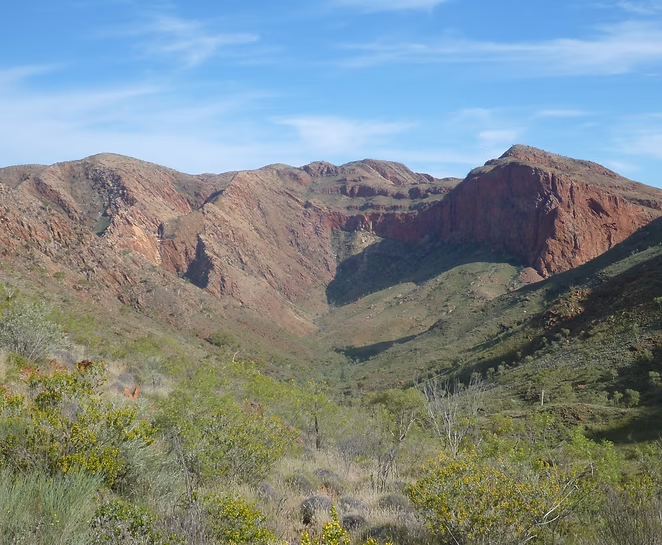
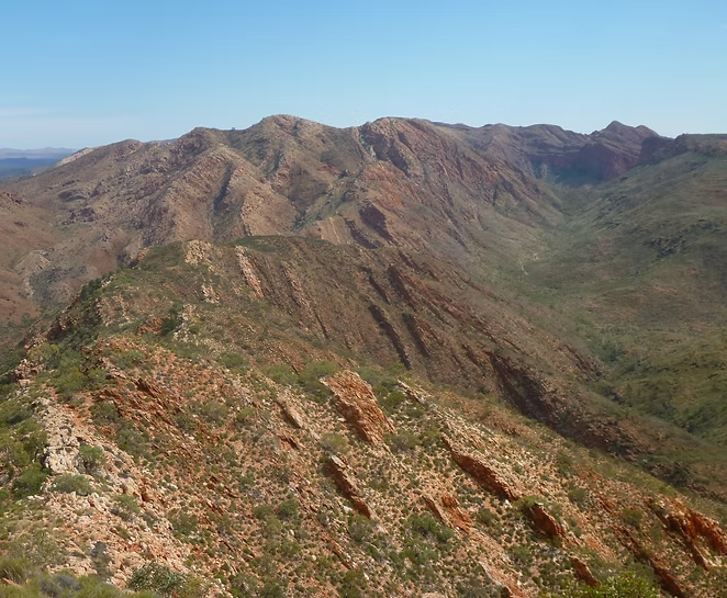
These trips were into very remote areas that very few people ever visit – in one case, the landowner said that we were the only group that he’d known to cross that area in the past decade. Areas like the Gammon Ranges are extremely rugged, have very few tracks, are not well mapped and there are only a few places where water is likely to be found. The water sources are mainly rock holes and there will always be a risk that a particular source will be dry. There is also no alternative so you can’t be too fussy even if the water source is brackish or contains a dead goat.
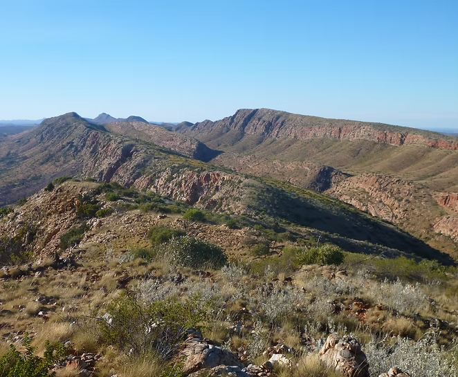
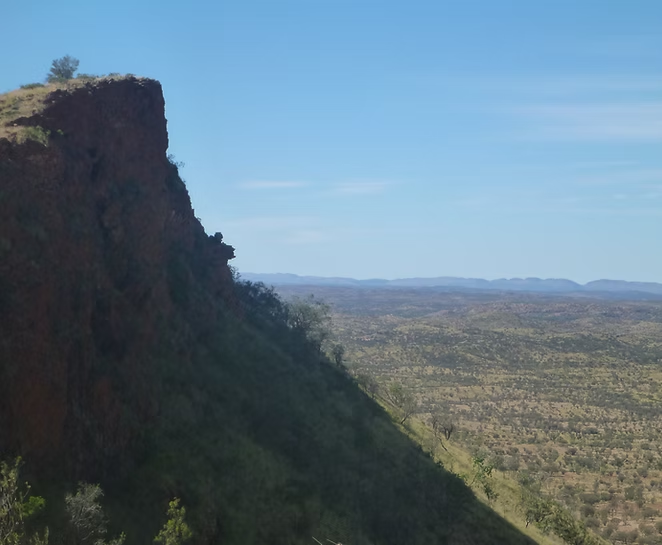
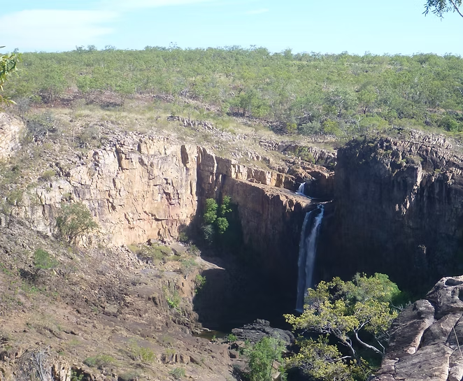
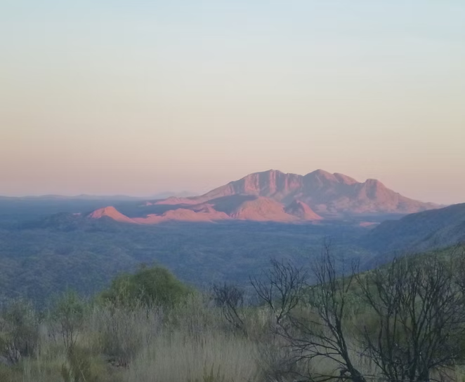




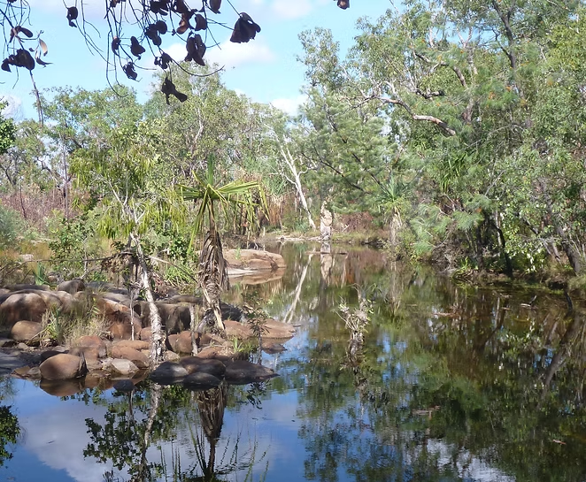

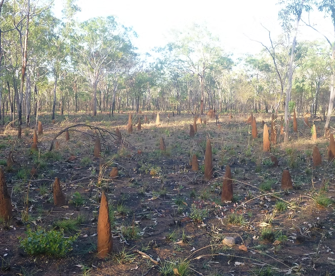

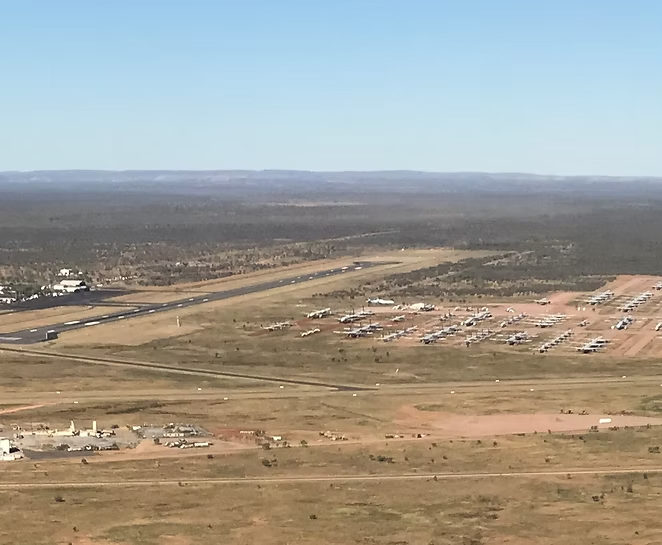
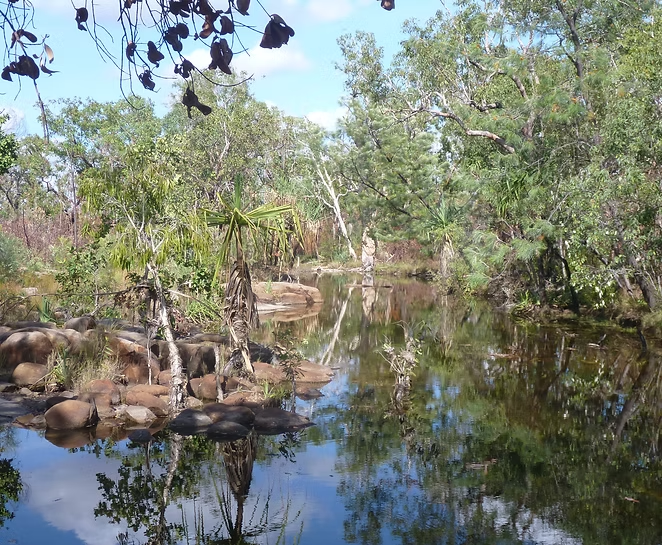







Northern Territory (NT): Larapinta & Jatbula Trails, Chewings & Kakadu
The NT covers a huge area with arid desert in the south and a tropical climate in the north. What is consistent is that it is HOT so very few people would walk there outside the winter months of June to August.
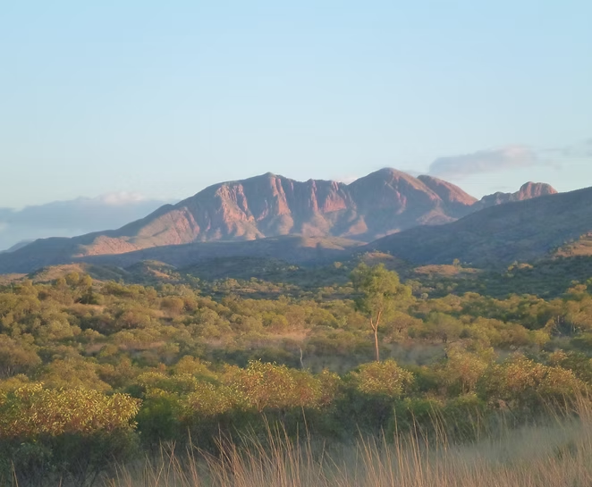
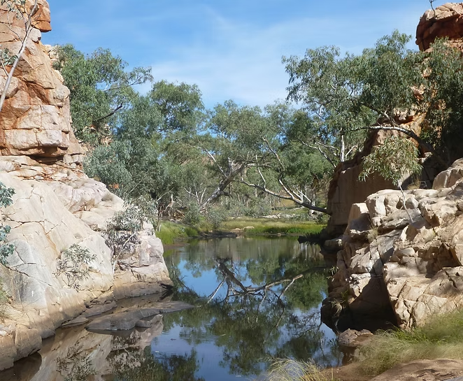
Until the Larapinta Trail was established in 1998, very few people ever walked in the Heavitree and Chewings ranges to the west of Alice Springs because of the very limited and uncertain water sources. The NT Government cleared an marked a trail and installed tanks at 16 locations. The tanks have microwave connections to the ranger stations and the tanks are supplied by truck if water levels get low. Some of the campsites have large shelters that provide roof area to capture rainfall and provide shade. The desert climate means that the trail can be hot (30 degrees C plus) during the day but the temperature at night can drop below freezing.
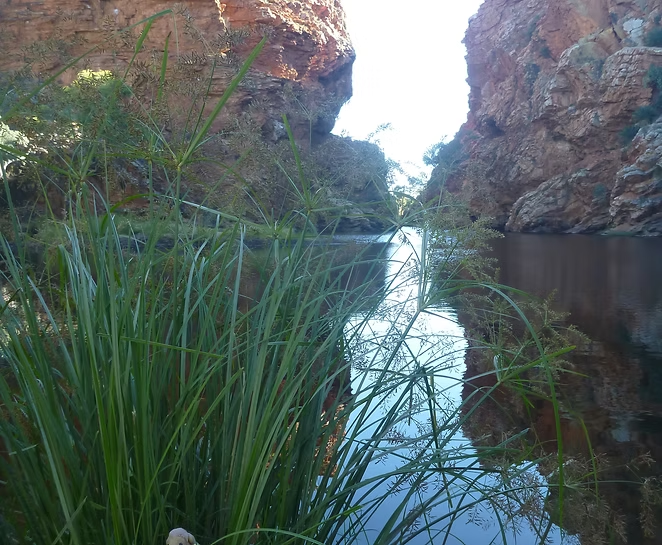
For much of the year, the tanks on the trail are the only reliable water sources other than a few places that have permanent water. Those places (Ormiston Gorge, Ellery Creek, Simpsons Gap, etc) are magnets for bird and animal life and sacred to the Aboriginal people. Some parts of the trail are in open country with little shade. With with very low humidity, I found that I needed to be carrying and drinking much larger quantities of water than I normally would. The mountains are not high with the trail ranging from 680 to 1200 meters in elevation, but the trail is rocky and very rugged in places with steep climbs. The views of the rugged red mountains grading off into the flat desert beyond are very impressive.
In theory the trail takes four weeks to walk but can be done in half that time by fit walkers. I have done the eastern half twice (once with a group in 2016 and once solo in 2021) and the western half once (solo in 2017).
I’ve also walked in the Chewings Range in 2015 as part of a group led by my friend Jim. This trip was into some very remote locations where there was major uncertainty about the water supplies. Each of these trips, I’ve flown myself and parked the plane in Alice Springs for the week.
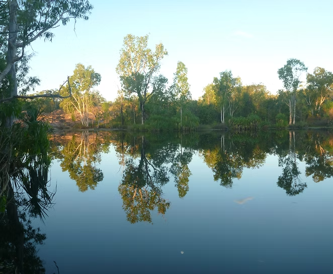
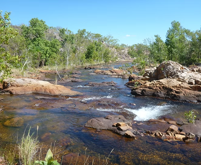
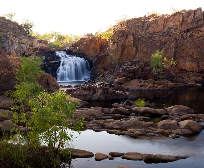
The Jatbula Trail is to the east of Katherine and extends 62km from Katherine Gorge to Edith Falls. The walk is intended to be walked in five or six days and there no flexibility as numbers are restricted (max 15 people per day) and you can’t skip a campsite. That means a reasonably fit walker will be at camp by lunchtime every day. Even in the winter, the temperature and humidity will be uncomfortable by noon so you are quite happy to stop but it does mean that there is the whole afternoon to fill in. Each campsite is in a beautiful spot beside falls and rock pools most of which are suitable for swimming.
Other than the start where you have to take a boat to the opposite shore, there is no crocodile risk as the campsites in locations that they can’t reach (at least, that’s what they say!). I did this walk with my old friend Jim in 2016 and, by sheer chance, another friend Bernadette was part of a commercial group that was doing the walk in parallel with us.
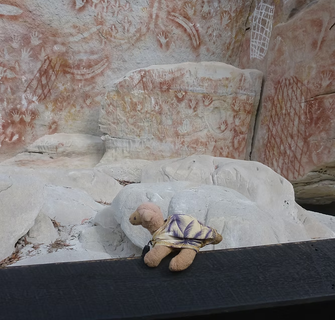
In 2014, my friend Jim also led a group on a series of extended walks in the Kakadu National Park and I joined them for a week on a loop from behind Twin Falls to Koolpin Creek. Permits are required to enter this area and you are unlikely to meet another group. It is hot and humid even in winter and it almost never rains. So you need much less equipment and clothing than usual and there are frequent opportunities to cool off by swimming in large pools created by the streams that we were ascending. It is an extraordinarily beautiful place with dramatic rock formations and literally hundreds of ancient Aboriginal art sites in the surrounding rock outcrops. Sadly, it is much more difficult now to get permits to visit this area.




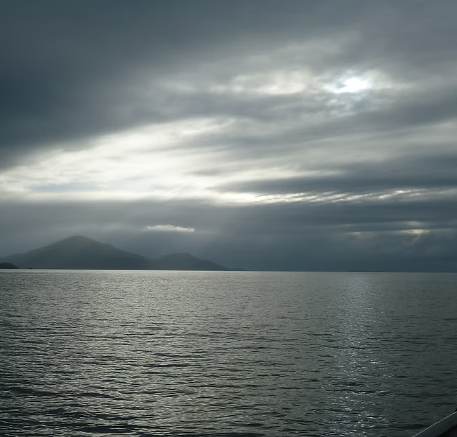
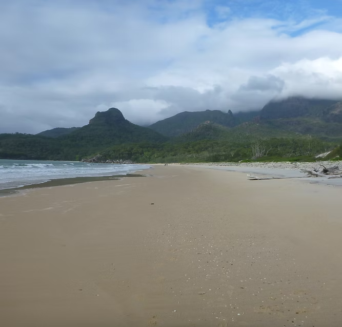

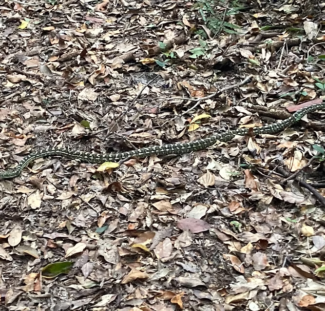
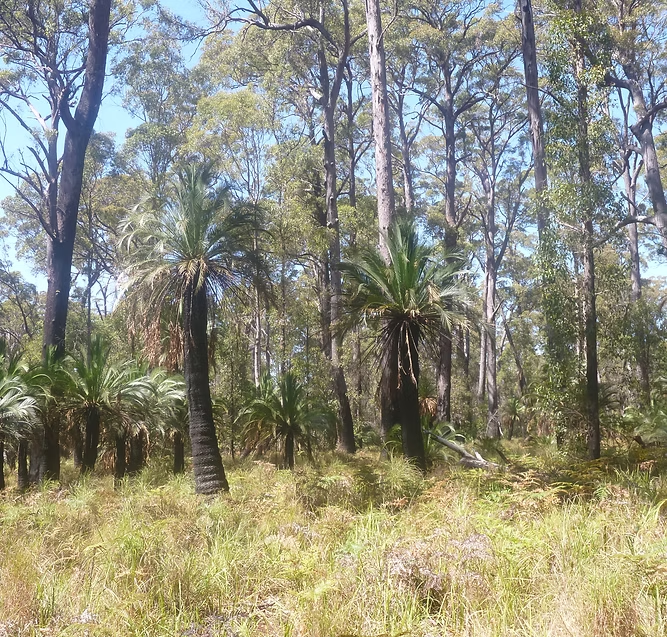



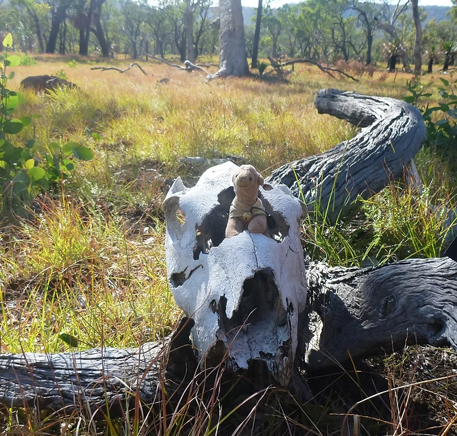


Queensland: Carnarvon Gorge, Hinchinbrook & K'gari (Fraser) Islands
The COVID lockdowns were an incentive to look for extended walks in Australia that I had not done before. During periods when Queensland was open to Victorians, I did two trips to Queensland to walk the Carnarvon Gorge circuit (clockwise) in 2019 and then a second trip in 2021 to do Carnarvon Gorge (anti-clockwise) and the Thorsburn Trail on Hinchinbrook Island.
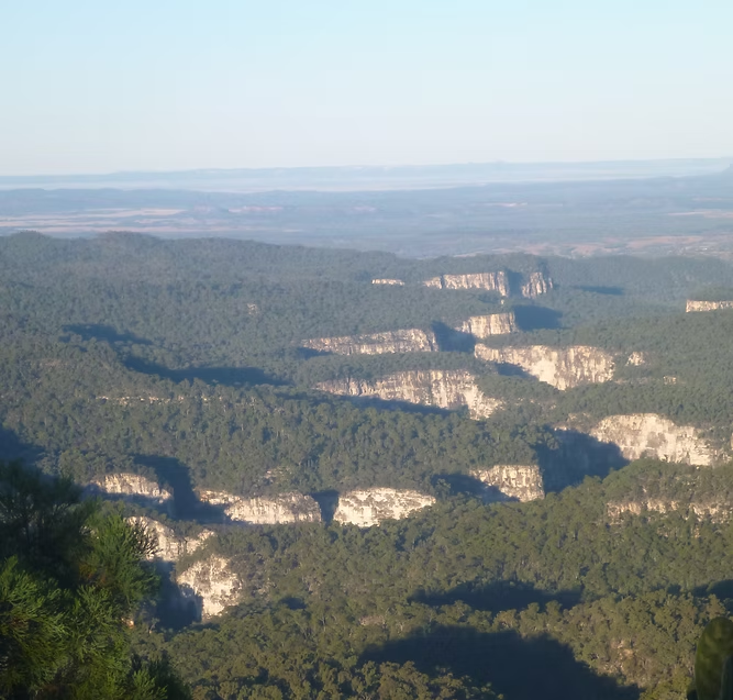
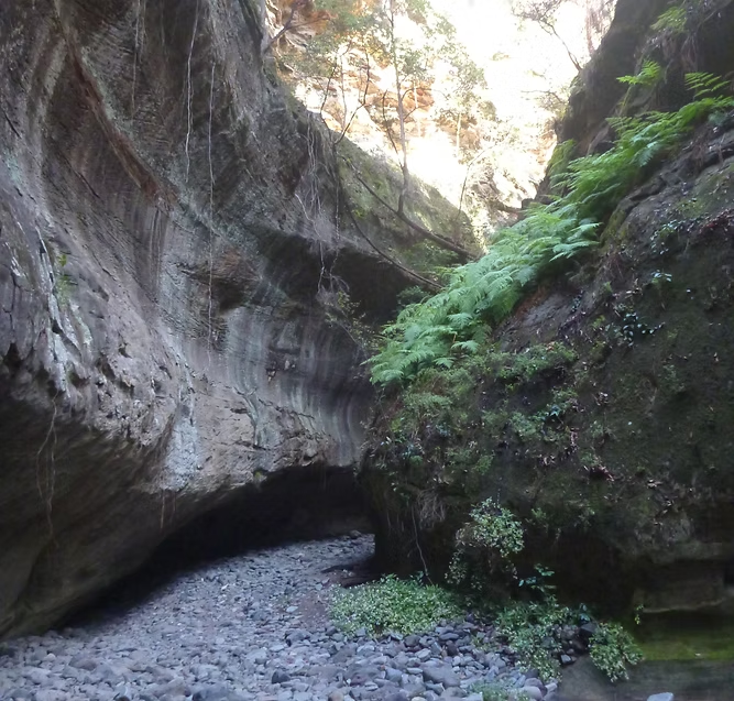
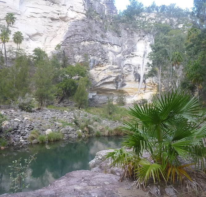
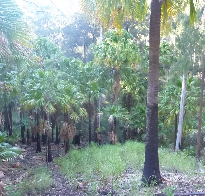
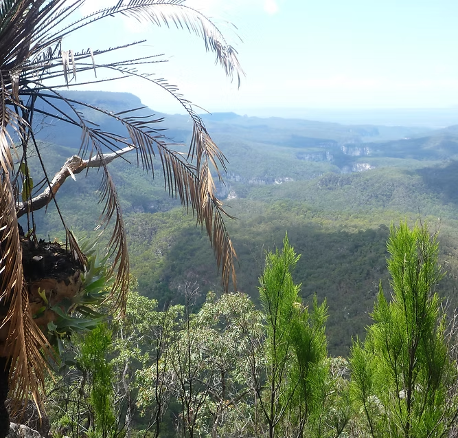
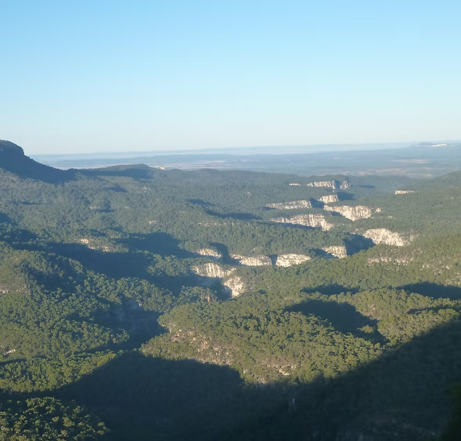
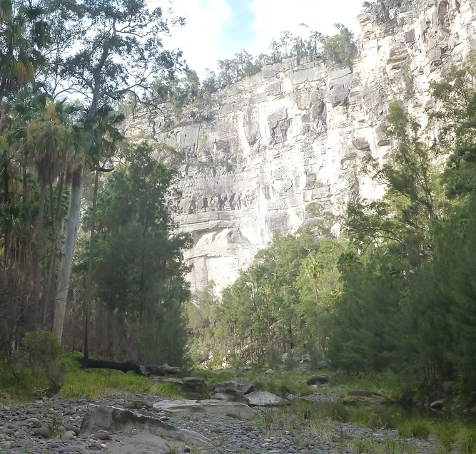
The Carnarvon Gorge is a spectacular natural feature of the inland and is located between Roma and Emerald. It is an elevated plateau in the midst of a flat and arid landscape. The streams have cut deep gorges through the sandstone andcontain unique vegetation like tree ferns, cycads and palms. The main streams never dry up even in drought as they are fed from subterranean aquifers.
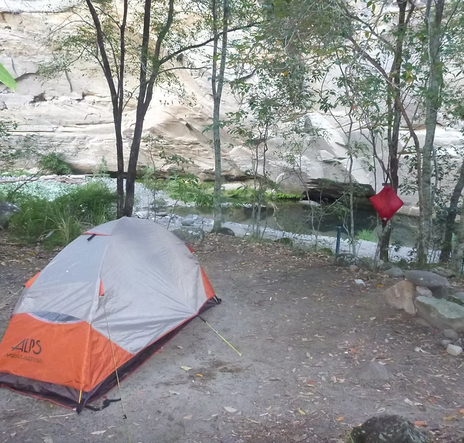
There is a circuit walk of 87km around the rim of the Gorge with basic campsites with underground water tanks. It is meant to take 6-7 days but can be done in 4-5 days. It is a walk best done in winter but overnight temperatures can drop to as low as -5C.
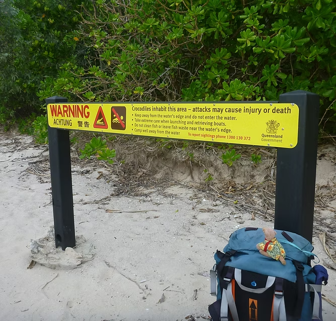
Hinchinbrook Island is very different with a wet tropical climate. The island is uninhabited and only accessible by boat with a limit of 40 people allowed on the island at any time. It is very rugged with mountains that rise to over 1100 meters, dense vegetation and a large population of saltwater crocodiles. There is a 32km trail down the eastern side of the island that is normally walked in 3-4 days. Permits are usually very hard to get but I booked just after Sydney lockdown had started so was able to get one.
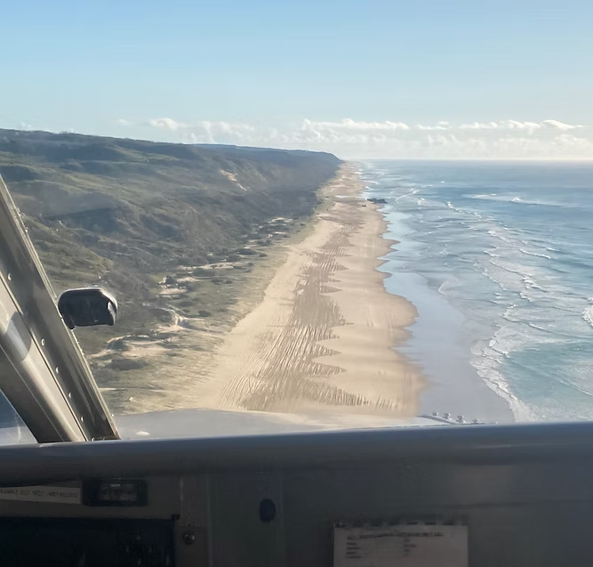
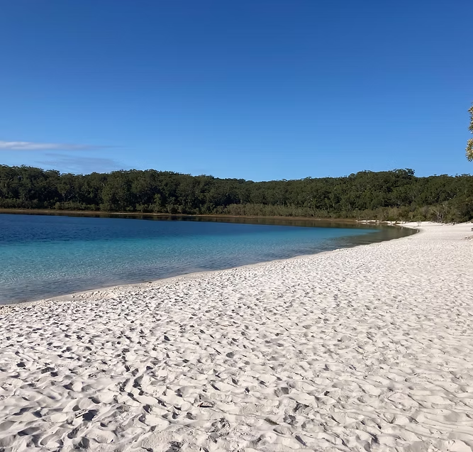
In 2023, I walked for five days from Happy Valley following the K’gari (Fraser) Island Great Walk to Lake McKenzie and then back to the coast near Eurong. Transfers to and from Hervey Bay Airport were a 15 minute flight with Air Fraser Island with a landing on the beach. They then transferred me up to Happy Valley in a 4WD that they keep on the Island. The campsites have benches with metal boxes to lock food away from the resident dingos. K’gari is the world’s largest sand island and has unique vegetation including trees up to 50 meters tall. There are 40 perched lakes on the island that form among the dunes and are fed only by rainwater.