European Walking & Mountaineering

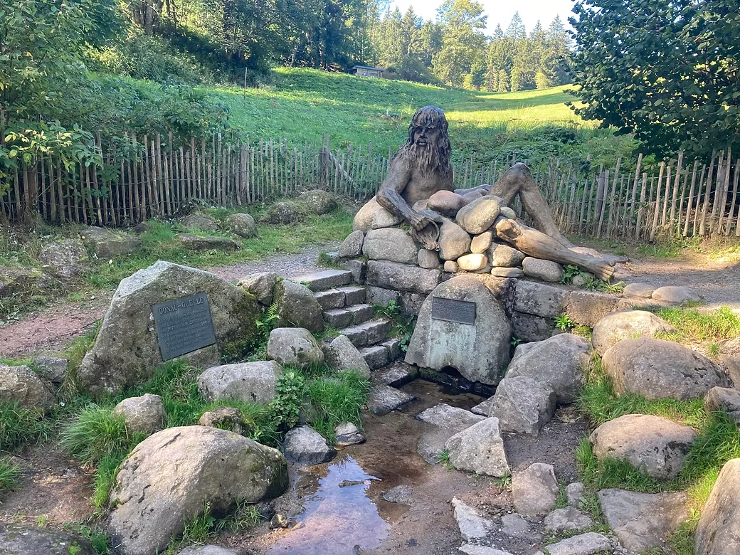


2023 Westweg - Pforzheim to Basel 285km 14days 8,000 meters climbing
The Westweg through the Schwarzwald (Black Forest) appealed as I was in Europe in late September and I though that it might be too late in the season to walk in the higher mountains.
Walking here is much less demanding than in the high Alps but it is still a solid walk as the days vary from 16 to 28km and two days require more than 1,000 meters of climbing. The track is well marked and is a mix of walking paths and forest roads and accommodation is available in villages and in mountain guesthouses. Some areas were busy (particularly on weekends) with walkers and mountain bikers but much of it was in very quiet areas.


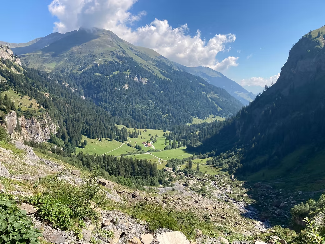


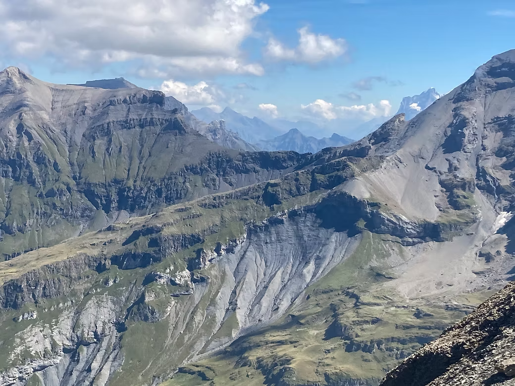


2021 Swiss Alpine Passes Route ~300km 20days 23,000 meters climbing
This walk, also known as Via Alpina 1, traverses the high passes from Sargans in the east of Switzerland to Montreaux in the west. Most days involves climbing 1000-1600m from a village in one valley and descending roughly the same amount to a village in the next valley. But this is Switzerland so it is possible to shorten some days by using a bus, train or cable car. The passes range up to 2,800 meters but there are good and clearly marked trails across each of them. I did it during August and there was almost no rain for the entire period except for some thunderstorms later in the day in the western part. As peak season there were people doing the same trail most days and it became busier on the weekends. There were very few tourists in the villages in the east but many more in the main tourist areas around Meiringen, Grindelwald, Adelboden and Gstaad. The route crosses the linguistic divide with villages before Gstaad speaking German and those after speaking French.
As I did not book more than a day ahead, I carried a full pack with camping gear but only used the tent once at Altdorf. So I packed the tent and other gear and mailed it ahead to Montreux. There really is no need to carry anything more than a day pack as, if there is no rooms in the higher villages, you can always take a bus or train down the valley.
There were a few Swiss doing the entire route but very few foreigners. You can pick up a “passport” at the Tourist Office and stamp it at each pass and village on the route but I didn’t bother.
I had a further week available and a TGV train to catch from Belfort in France. I had intended to walk north east from Montreaux on the GR5 but found after a couple of days that this was too difficult given the limited accommodation and transport options in the French Jura. So, I crossed back into Switzerland and continued on the first section of the Jura Crest Trail via La Chaux des Fonds and Biel. The landscape is much smaller scale than the Alpine Passes Route but it is still a very attractive walk.


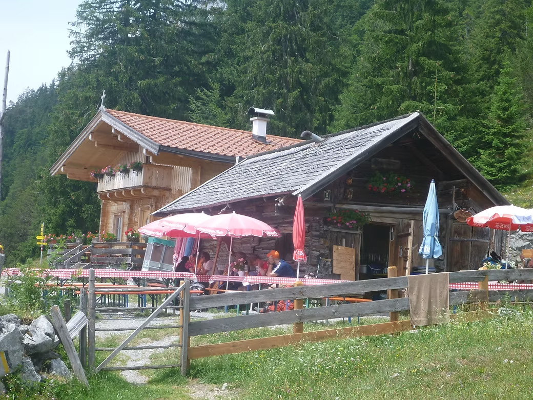


2019 Austrian Tyrol - Adlerweg ~300km 15 days 17,000 meters climbing
The Adlerweg or “Eagle’s Way” is a marked route that starts at St Johann near Kitzbuhel in eastern Tyrol.
It traverses the Kaisergebirge, the Rofengebirge, the Karwendelgebirge, the Miemingergebirge and finally the Lechtaler Alpen. It passes through the towns of Kufstein, Steinberg, Maurach, Leutasch and Ehrwald before finishing at St Anton in the west of the Tyrol.
Accommodation is mostly large huts owned by either the Austrian or German Alpine Clubs, hotels in the towns and a few Gastehaus run by farming families in the remoter parts.
Much of the route is formed tracks and is well marked but a few sections are quite remote and involve crossings of high passes that can be tricky when they involve snow and/or scree. It can be very difficult to get a room in the huts in summer as they are often heavily booked by people that walk in and then base themselves at the hut for a few days. But there will almost always be a bed in the Matratzenlager or bunkroom.
There seems to be very few people walking the entire route but some areas (e.g. the route from Leutasch to Ehrwald) are very popular with day walkers and mountain bikers. While these sections are busy, they also offer many options to stop for coffee or lunch in mountain restaurants.
There are many possible variations of the route and it includes options to take chairlifts in a couple of places. Transport is available from every village so it is possible to bypass a section if weather or snow conditions dictate.


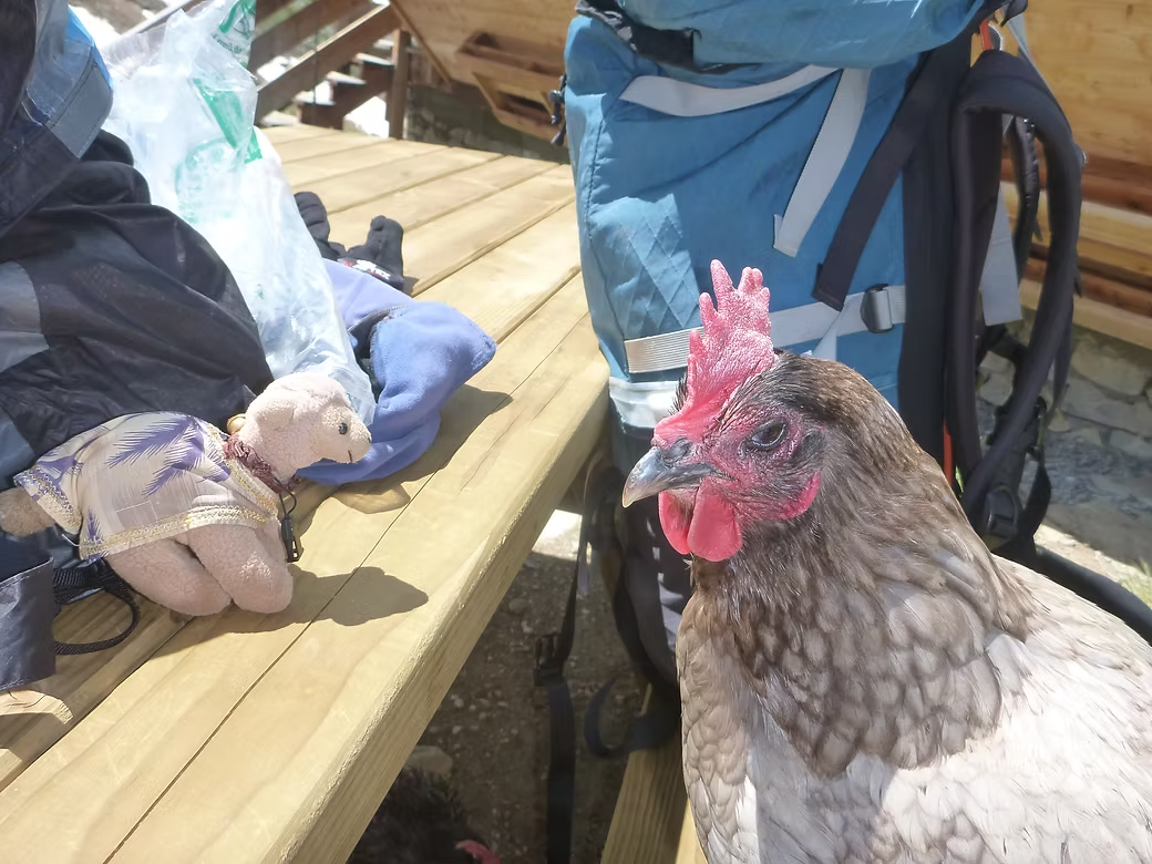


2018 Lake Geneva to Nice (GR5 and GR55) ~700km 28 days 40,000 meters climbing
This section of the GR5 starts at St Gingolph on the southern shore of Lake Geneva and finishes at Nice on the Mediterranean coast. It passes through the Haute Savoie, the Vanoise and Mercantour National Parks and the Alps Maritimes. It is certainly the most varied, interesting and consistently spectacular walk that I have ever done. There are three options for traversing the Vanoise and the weather was perfect for me to take the high route or GR55.
Going all the way to Chapelle d’Abondance on the first day was a mistake – although it is only 18km, it is almost 2,000m of climbing. So I would have been better to have split it into two days.
The first section includes progressively higher mountains and ends in the Chamonix valley. You climb out steeply the following day with views of the Mt Blanc Massif. The next section ends at Landry where I stayed with some people that I’d met on a walk in NZ.
When you reach the Val d’Isere, you have to choose between the low and high routes. The weather was good so I took the GR55 high route through the Col de Grande Motte. There was snow across the pass but it was soft so safe. On the other side, you drop into the valley, cross a Roman bridge and then climb again to the Refuge de Vanoise which is a large Club Alpin Francais (CAF) refuge.
A typical day involves at least 1,000 meters of climbing and, when you get to the pass, you then drop down the other side. After two weeks getting to the ancient town of Briancon, I had a day off before heading off on the second half.
The southern Alps are quite different to the Vanoise. Although not as high, they are still very rugged and much more dry and stony. Nearer the coast, the destination tends to be fortified villages on hilltops. As you reach the coast, it becomes heavily populated and I’d intended to take a bus into the center of Nice but, as luck would have it, there was no bus so I ended up walking the whole way to the beach front.


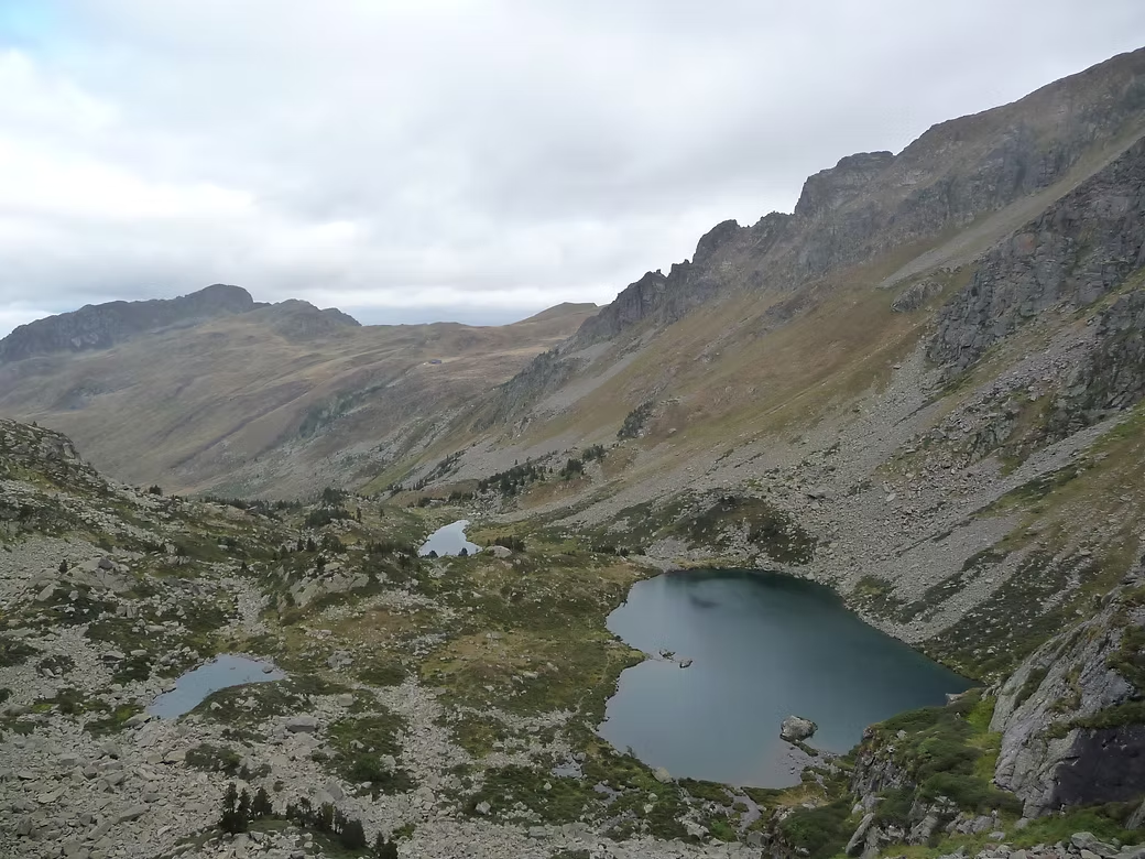

2017 Pyrenees traverse (Haute Route and GR11) ~600km 37 days 35,000 meters climbing
Between 2012 and 2017, I walked most of Pyrenees range from the ski village of Candanchu in the eastern Pyrenees to Banyuls-sur-Mer on the Mediterranean coast. I did it in four stages ranging from 8 to 16 days each, one of which was with a group and the rest were solo. There are three variants GR10 (in France), GR11 (in Spain) and the Haute Route de Pyrenees (HRP) that meanders between the two. My choice of route depended on the weather and food supply options but most of what I eventually did was GR11 and HRP.
The peaks reach heights of 3,400 meters. The route passes through some spectacular national parks and, on the weekends, these can be busy but, generally, much of the Pyrenees is quite remote. Other than the mountain refuges there are only a few small villages near the route.
My first trip in 2012 was solo from Andorra to Bolquere where I used the antique “Train Jaune” to descend to Villefranche and on to Perpignan.
In 2014, I joined a group of three friends on what was intended to be a 26 day walk from Candanchu to Andorra but that trip terminated on the ninth day when my friend had a heart attack while half way down the scree slopes beyond the Breche de Roland. We activated the PLB and a rescue helicopter arrived after about an hour with a doctor on board. In only about 20 minutes, the patient was on the way to hospital leaving two of us to walk for another 4 hours to the nearest hut.
The hut warden telephoned and found that our friend was in intensive care and had been transferred to the University Hospital at Zaragosa. So, the following day, we raced down the mountain to a village where we knew there was a bus service and eventually got to Zaragosa that evening. This event terminated that walk but my friend recovered well but now does just day walks and kayaking.
In 2015, I went back alone to Gavarnie (the town where we had stopped on the earlier trip) and walked for 16 days intending to finish what we had started the previous year. Instead of going all the way to Andorra, I turned off on the last day across a very isolated area of lakes and then dropped steeply down into France to the tiny village of Bidous where, the following morning, I was able to take two buses and a train to Toulouse.
For the final section in 2017, I caught the same Train Jaune up to where I’d finished the first section in 2012 and walked to the Mediterranean coast at Banyuls.
The Pyrenees are spectacular and much of it is surprisingly remote with only a few people walking in most areas. Most walkers are French, Spanish and Catalan and I encountered very few native English speakers.


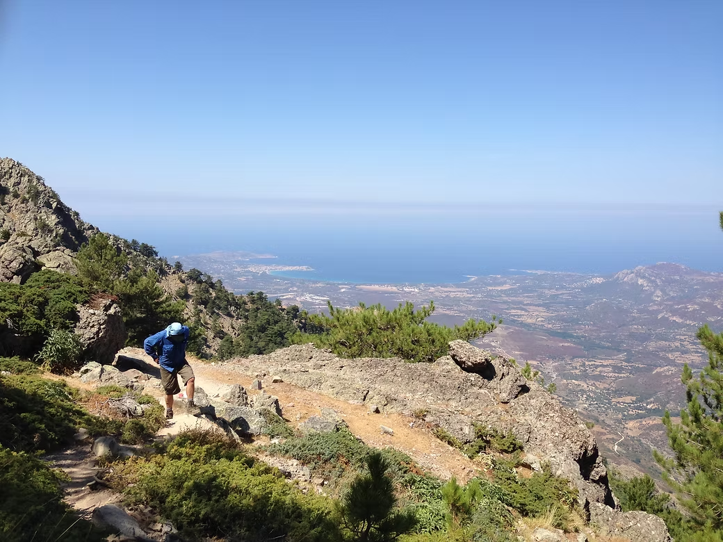


2016 Corsica traverse GR20 ~180km 18 days 10,600 meters climbing
The GR20 has a reputation as the “hardest” of all the Grandes Randonees in France and it is very rugged in parts. But the track is well marked with well formed tracks through some impossibly steep areas. This reputation has made it very popular and the (fairly basic) refuges are overwhelmed by the numbers that are doing it.
I led a group of friends on it in 2016 and we did the route the usual direction from north to south. It was certainly very hot and dusty and water sources were few and far between. We had elected to camp but to have our evening meal at the refuges. This turned out very well as we found that accommodation on the island (everything from refuges to 4* hotels) had problems with bedbugs. The camping areas at the refuges were generally good although the shower and toilet facilities were very basic. The food at the refuges was simple but good and often included cheeses that were made close by or on the premises.
The first half of the trip went well although the weather was hot and unstable. We had to bypass one of the high pass crossings because of the risk of thunderstorms but otherwise were able to follow the entire route.
We took a rest day at Vizzavona and had a day trip to the ancient town of Corte before continuing on the second half of the route. A couple of days into it, one of our party members had a fall and had to be taken by helicopter to Ajaccio. This required a diversion to a village near the west coast before climbing back to the route. The rest of the trip was uneventful but conditions continued to be hot and there were very few water sources on route.


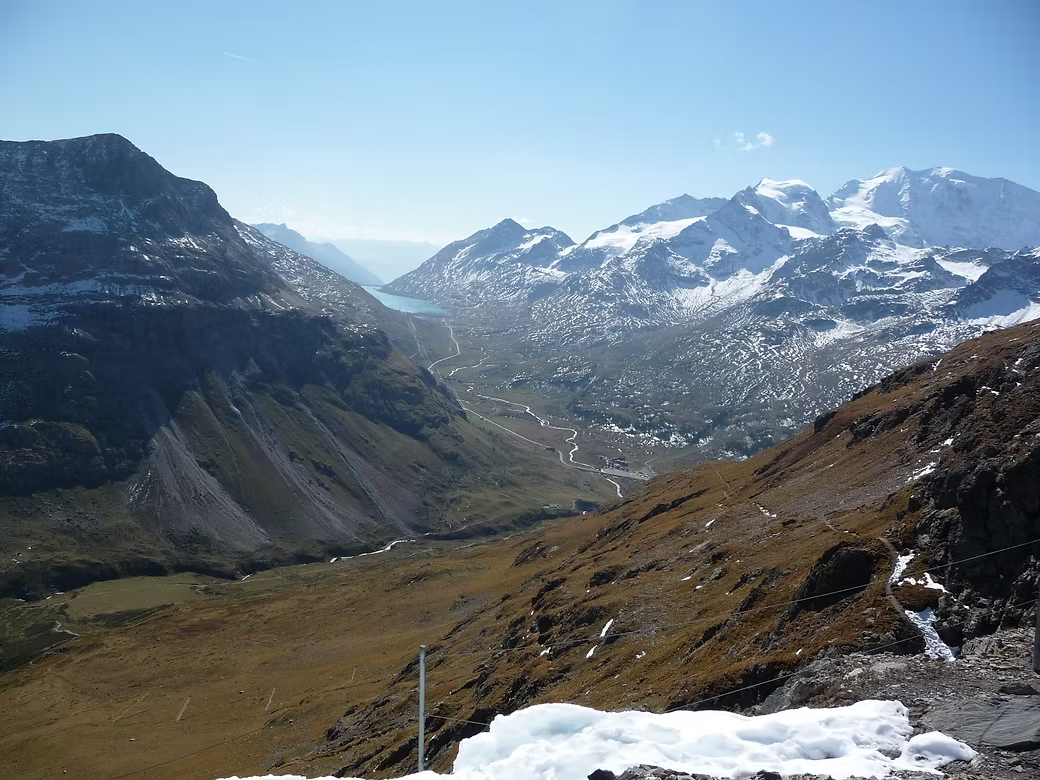


2011 Bernina Circuit, Switzerland
This is a circuit around the Piz Bernina (4,086m) which is the highest mountain in the eastern Alps. The Bernina Range separates the Engadin Valley from the Romansch speaking Swiss canton of Grisons and the north Italian province of Lombardy.
I left from Pontresina in the Engadin but the first section involved a crossing of the Morterasch Glacier that I was not equipped for, so I took the “Bernina Express” train to Alp Grum via the Bernina Pass and started from there.
The southern side of the massif is much less touristed than the Engadin side and some parts of it are quite remote. It was late in the season and I was glad to hear from some Italian mountaineers that the refuge that I was heading for had closed early due to snowfall. So, that involved a considerable detour into the valley to stay at a small hotel and then a climb out the following day. The other huts that were open had very few people staying but the warden still supplied meals. The final pass from the Italian side back into the Engadin Valley is the Passo Muretto (2,562m) which then leads down to the town of Maloja.


1986 Haute Route ~200km 12 days
The Haute Route or Mountaineers Route has a history dating back to the mid 19th Century and involves walking or skiing between Mont Blanc in France and the Matterhorn in Zermatt. It is a route that involves crossing many glaciers through some of the most spectacular mountains in Europe so it requires mountaineering equipment like ice axes, crampons, ropes and harnesses.
I did it in 1986 with English guides as part of a commercial group. We took 12 days to walk from Chamonix to Zermatt and then on to Saas Fee. It typically involved a few days in the high mountains followed by a descent into the valley and a climb out the following day.


1980-90 Walking & Mountaineering
While living in the UK from 1981-88, I walked regularly in Wales and the Lake and Peak Districts with a walking club and with friends. During the severe winter of 1981-82, I did a Winter Hillwalking course at the National Mountain Training Center at Glenmore Lodge in Cairngorms of Scotland. I also did a range of other courses at Plas-y-Brenin at Capel Curig in Wales.
I also did some alpine climbing. This is the view from the top of the Matterhorn in 1986. The weather turned bad on the decent and my climbing partner, our guide and I were rescued by helicopter five days later weighing 5kgs less!